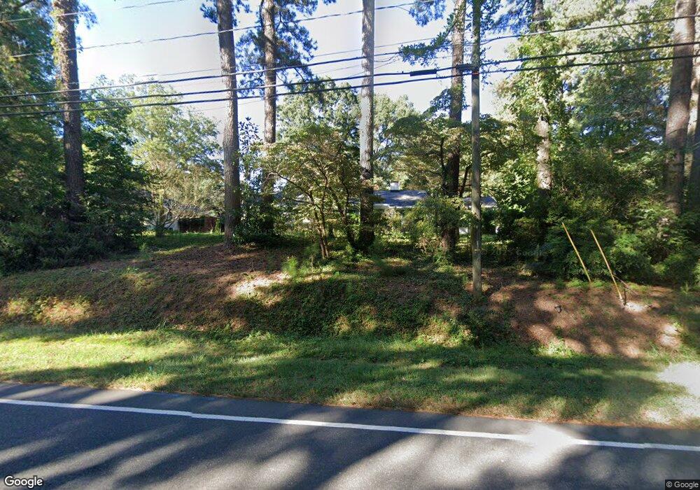
2004 Cole Mill Rd Durham, NC 27712
Croasdaile NeighborhoodEstimated Value: $421,000 - $465,000
3
Beds
2
Baths
1,900
Sq Ft
$233/Sq Ft
Est. Value
About This Home
This home is located at 2004 Cole Mill Rd, Durham, NC 27712 and is currently estimated at $442,479, approximately $232 per square foot. 2004 Cole Mill Rd is a home located in Durham County with nearby schools including Hillandale Elementary School, George L Carrington Middle, and Riverside High School.
Ownership History
Date
Name
Owned For
Owner Type
Purchase Details
Closed on
Nov 29, 2012
Sold by
Jones James Ross and Jones Karen Louise
Bought by
Abate Gregory Francis
Current Estimated Value
Home Financials for this Owner
Home Financials are based on the most recent Mortgage that was taken out on this home.
Original Mortgage
$181,649
Outstanding Balance
$126,267
Interest Rate
3.44%
Mortgage Type
FHA
Estimated Equity
$316,212
Purchase Details
Closed on
Oct 1, 2007
Sold by
Hobbs Gladys Denise
Bought by
Jones James Ross and Jones Karen Louise
Home Financials for this Owner
Home Financials are based on the most recent Mortgage that was taken out on this home.
Original Mortgage
$132,000
Interest Rate
6.57%
Mortgage Type
Purchase Money Mortgage
Create a Home Valuation Report for This Property
The Home Valuation Report is an in-depth analysis detailing your home's value as well as a comparison with similar homes in the area
Home Values in the Area
Average Home Value in this Area
Purchase History
| Date | Buyer | Sale Price | Title Company |
|---|---|---|---|
| Abate Gregory Francis | $185,000 | None Available | |
| Jones James Ross | $165,000 | None Available | |
| Jones James Ross | $165,000 | None Available |
Source: Public Records
Mortgage History
| Date | Status | Borrower | Loan Amount |
|---|---|---|---|
| Open | Abate Gregory Francis | $181,649 | |
| Previous Owner | Jones James Ross | $132,000 |
Source: Public Records
Tax History
| Year | Tax Paid | Tax Assessment Tax Assessment Total Assessment is a certain percentage of the fair market value that is determined by local assessors to be the total taxable value of land and additions on the property. | Land | Improvement |
|---|---|---|---|---|
| 2025 | $4,000 | $403,476 | $172,000 | $231,476 |
| 2024 | $3,710 | $265,956 | $51,510 | $214,446 |
| 2023 | $3,484 | $265,956 | $51,510 | $214,446 |
| 2022 | $3,404 | $265,956 | $51,510 | $214,446 |
| 2021 | $3,388 | $265,956 | $51,510 | $214,446 |
| 2020 | $3,308 | $265,956 | $51,510 | $214,446 |
| 2019 | $3,308 | $265,956 | $51,510 | $214,446 |
| 2018 | $2,579 | $190,101 | $38,632 | $151,469 |
| 2017 | $2,560 | $190,101 | $38,632 | $151,469 |
| 2016 | $2,473 | $190,101 | $38,632 | $151,469 |
| 2015 | $1,864 | $134,642 | $29,610 | $105,032 |
| 2014 | $1,864 | $134,642 | $29,610 | $105,032 |
Source: Public Records
Map
Nearby Homes
- 6 Webster Ct
- 208 Jefferson Dr
- 1214 E Oak Dr
- 4408 Cheshire Ct
- 2708 Ferrand Dr
- 1009 Crescent Moon Ct
- 3723 Knollwood Dr
- 4404 Regis Ave
- 2104 Skipping Stone Dr
- 1026 Valley Rose Way
- 524 Soapstone Dr
- 605 Blackwood Ct
- Collins Plan at Stonewood Estates - Legacy
- Mitchell Plan at Stonewood Estates - Landmark
- Fisher Plan at Stonewood Estates - Landmark
- Hatteras Plan at Stonewood Estates - Landmark
- Winston Plan at Stonewood Estates - Landmark
- 96 Sparger Springs Ln
- 4521 Myers Park Dr
- 2900 Beech Grove Dr
- 2006 Cole Mill Rd
- 2002 Cole Mill Rd
- 4 Hawthorne Dr
- 3 Meadowbrook Dr
- 3200 Cole Mill Rd
- 6 Hawthorne Dr
- 5 Meadowbrook Dr
- 5 Meadowbrook Ave
- 2007 Cole Mill Rd
- 3202 Cole Mill Rd
- 3 Hawthorne Dr
- 8 Hawthorne Dr
- 1916 Cole Mill Rd
- 7 Meadowbrook Dr
- 2001 Cole Mill Rd
- 5 Hawthorne Dr
- 3204 Cole Mill Rd
- 2 Meadowbrook Dr
- 4 Meadowbrook Dr
- 3203 Cole Mill Rd