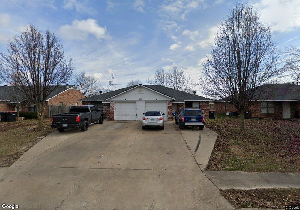
2004 Emily Circle Dr Unit A Springdale, AR 72762
Estimated Value: $273,000 - $310,000
--
Bed
4
Baths
2,036
Sq Ft
$141/Sq Ft
Est. Value
About This Home
This home is located at 2004 Emily Circle Dr Unit A, Springdale, AR 72762 and is currently estimated at $288,046, approximately $141 per square foot. 2004 Emily Circle Dr Unit A is a home located in Washington County with nearby schools including Southwest Junior High School, Westwood Elementary School, and Helen Tyson Middle School.
Ownership History
Date
Name
Owned For
Owner Type
Purchase Details
Closed on
Oct 26, 2015
Bought by
Tran Ann
Current Estimated Value
Purchase Details
Closed on
Aug 26, 2010
Sold by
Federal Home Loan Mortgage Corporation
Bought by
Tran Ann and Tran Tammy
Purchase Details
Closed on
Jan 28, 2010
Sold by
Phh Mortgage Corporation
Bought by
Federal Home Loan Mortgage Corp
Purchase Details
Closed on
Jan 11, 2010
Sold by
Burchette John H and Burchette Debbie L
Bought by
Phh Mortgage Corporation
Purchase Details
Closed on
Aug 16, 1990
Bought by
Burchette John H and Burchette Debbie
Purchase Details
Closed on
Jun 14, 1989
Bought by
Harp Steve and Davison Brad
Purchase Details
Closed on
Jan 1, 1989
Bought by
Howard Stan and Mathias Sam
Create a Home Valuation Report for This Property
The Home Valuation Report is an in-depth analysis detailing your home's value as well as a comparison with similar homes in the area
Home Values in the Area
Average Home Value in this Area
Purchase History
| Date | Buyer | Sale Price | Title Company |
|---|---|---|---|
| Tran Ann | -- | -- | |
| Tran Ann | -- | Associates Closing & Title | |
| Federal Home Loan Mortgage Corp | -- | None Available | |
| Phh Mortgage Corporation | $59,969 | None Available | |
| Burchette John H | $150,000 | -- | |
| Harp Steve | $60,000 | -- | |
| Howard Stan | -- | -- |
Source: Public Records
Tax History Compared to Growth
Tax History
| Year | Tax Paid | Tax Assessment Tax Assessment Total Assessment is a certain percentage of the fair market value that is determined by local assessors to be the total taxable value of land and additions on the property. | Land | Improvement |
|---|---|---|---|---|
| 2024 | $1,610 | $51,500 | $12,600 | $38,900 |
| 2023 | $1,504 | $51,500 | $12,600 | $38,900 |
| 2022 | $1,367 | $34,640 | $10,000 | $24,640 |
| 2021 | $1,262 | $34,640 | $10,000 | $24,640 |
| 2020 | $1,157 | $34,640 | $10,000 | $24,640 |
| 2019 | $1,052 | $19,960 | $5,000 | $14,960 |
| 2018 | $1,052 | $19,960 | $5,000 | $14,960 |
| 2017 | $1,042 | $19,960 | $5,000 | $14,960 |
| 2016 | $1,042 | $19,960 | $5,000 | $14,960 |
| 2015 | $1,042 | $19,960 | $5,000 | $14,960 |
| 2014 | $1,184 | $22,680 | $5,000 | $17,680 |
Source: Public Records
Map
Nearby Homes
- 2009 Emily Circle Dr Unit A
- 614 Zachary St
- 713 Carlton St
- 702 S West End St
- 712 Carlton St
- 508 Geneva St
- 506 Dyer St
- 706 Maria St
- 406 Michael St
- 604 Maria St
- 404 Henryetta St
- 126 Rogers Circle Dr
- 510 Maria St
- 1115 Eicher Ave
- 2001 Pin Oak Dr
- 1304 Rebecca Ln
- 1902 Melissa Ln
- 301 Michael St
- 1701 S West End St
- 1807 Westwood Ave
- 2026 Emily Circle Dr
- 1978 Emily Circle Dr
- 940 Heather St
- 910 Heather St Unit A
- 910 A&B Heather St
- 2048 Emily Circle Dr Unit A
- 970 Heather St Unit A
- 1983 Emily Circle Dr
- 2039 Emily Circle Dr
- 2072 Emily Circle Dr Unit A
- 1935 Emily Circle Dr
- 1959 Emily Circle Dr Unit A
- 1911 Emily Circle Dr
- 1000 Heather St Unit A
- 941 Heather St Unit A
- 941 Heather St Unit A & B
- 1957 Emily Circle Dr
- 2067 Emily Circle Dr Unit A
- 911 Heather St Unit A
- 1889 Emily Circle Dr