2004 Horst Rd Quincy, MI 49082
Estimated Value: $171,950 - $348,000
Studio
--
Bath
696
Sq Ft
$373/Sq Ft
Est. Value
About This Home
This home is located at 2004 Horst Rd, Quincy, MI 49082 and is currently estimated at $259,488, approximately $372 per square foot. 2004 Horst Rd is a home with nearby schools including Reynolds Elementary School and Reading High School.
Ownership History
Date
Name
Owned For
Owner Type
Purchase Details
Closed on
Jul 22, 2021
Sold by
Hanna Christopher L and Hanna Connie R
Bought by
Sokolowski Lisa A and Steele Samantha
Current Estimated Value
Home Financials for this Owner
Home Financials are based on the most recent Mortgage that was taken out on this home.
Original Mortgage
$184,000
Outstanding Balance
$167,104
Interest Rate
2.96%
Mortgage Type
New Conventional
Estimated Equity
$92,384
Purchase Details
Closed on
Jul 15, 1999
Bought by
Hanna Christopher L and Hanna Connie
Create a Home Valuation Report for This Property
The Home Valuation Report is an in-depth analysis detailing your home's value as well as a comparison with similar homes in the area
Purchase History
| Date | Buyer | Sale Price | Title Company |
|---|---|---|---|
| Sokolowski Lisa A | $280,000 | Mutual Title Agency Inc | |
| Hanna Christopher L | $125,000 | -- |
Source: Public Records
Mortgage History
| Date | Status | Borrower | Loan Amount |
|---|---|---|---|
| Open | Sokolowski Lisa A | $184,000 |
Source: Public Records
Tax History
| Year | Tax Paid | Tax Assessment Tax Assessment Total Assessment is a certain percentage of the fair market value that is determined by local assessors to be the total taxable value of land and additions on the property. | Land | Improvement |
|---|---|---|---|---|
| 2025 | $630 | $62,200 | $0 | $0 |
| 2024 | $6 | $61,800 | $0 | $0 |
| 2023 | $585 | $59,600 | $0 | $0 |
| 2022 | $1,318 | $50,800 | $0 | $0 |
| 2021 | $1,683 | $48,200 | $0 | $0 |
| 2020 | $1,678 | $47,700 | $0 | $0 |
| 2019 | $1,632 | $40,800 | $0 | $0 |
| 2018 | $1,570 | $38,000 | $0 | $0 |
| 2017 | $1,525 | $37,800 | $0 | $0 |
| 2016 | $1,511 | $37,700 | $0 | $0 |
| 2015 | $386 | $37,700 | $0 | $0 |
| 2013 | $374 | $35,130 | $0 | $0 |
| 2012 | $365 | $34,820 | $0 | $0 |
Source: Public Records
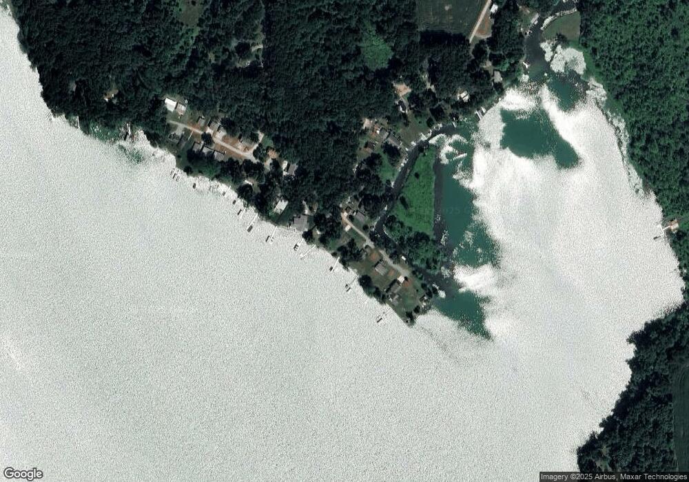
Map
Nearby Homes
- 2408 Spruce Dr
- 9222 Beech Dr
- 8941 Kellogg Dr
- 9055 Kellogg Dr
- 9059 Kellogg Dr
- 8875 Kellogg Dr
- 9180 Arkansaw Rd
- 3870 Rus Dic Dr
- 4111 Blair Rd
- 5100 Long Lake Rd
- 5211 Long Lake Rd
- 5339 Berry Lake Dr
- 6331 Bacon Rd
- 0 Wildwood Rd
- 2201 S Sand Lake Rd
- 490 Kelley Rd
- V L Long Lake Rd
- V/L Long Lake Rd
- 0 Long Lake Rd Unit 26458115
- 0 Long Lake Rd Unit 26458114
- 2024 Horst Rd
- 2002 Horst Rd
- 1999 Horst Rd
- 1991 Horst Rd
- 1991 Horst Rd
- 0 Horst Rd
- 2044 Horst Rd
- 0 0 Horst Rd
- 2000 Cooper Rd
- 1985 Horst Rd
- 1986 Cooper Rd
- 1969 Horst Rd
- 2084 Horst Rd
- 1925 Horst Rd
- 1986 Coopers Landing
- 1985 Cooper Rd
- 1953 Horst Rd
- 1986 Cooper Rd
- 1974 Coopers Landing
- 1973 Coopers Landing
Your Personal Tour Guide
Ask me questions while you tour the home.