2004 Mayapple Dr Unit 2300F Painesville, OH 44077
Estimated Value: $129,105 - $171,000
1
Bed
1
Bath
837
Sq Ft
$178/Sq Ft
Est. Value
About This Home
This home is located at 2004 Mayapple Dr Unit 2300F, Painesville, OH 44077 and is currently estimated at $149,276, approximately $178 per square foot. 2004 Mayapple Dr Unit 2300F is a home located in Lake County with nearby schools including Henry F. Lamuth Middle School, Riverside Junior/Senior High School, and Summit Academy Community School - Painesville.
Ownership History
Date
Name
Owned For
Owner Type
Purchase Details
Closed on
Jun 26, 2002
Sold by
Great Eastern Builders Inc
Bought by
Smith Christine
Current Estimated Value
Home Financials for this Owner
Home Financials are based on the most recent Mortgage that was taken out on this home.
Original Mortgage
$82,700
Outstanding Balance
$35,605
Interest Rate
6.93%
Mortgage Type
Purchase Money Mortgage
Estimated Equity
$113,671
Create a Home Valuation Report for This Property
The Home Valuation Report is an in-depth analysis detailing your home's value as well as a comparison with similar homes in the area
Home Values in the Area
Average Home Value in this Area
Purchase History
| Date | Buyer | Sale Price | Title Company |
|---|---|---|---|
| Smith Christine | $91,875 | Midland Title Security Inc |
Source: Public Records
Mortgage History
| Date | Status | Borrower | Loan Amount |
|---|---|---|---|
| Open | Smith Christine | $82,700 |
Source: Public Records
Tax History Compared to Growth
Tax History
| Year | Tax Paid | Tax Assessment Tax Assessment Total Assessment is a certain percentage of the fair market value that is determined by local assessors to be the total taxable value of land and additions on the property. | Land | Improvement |
|---|---|---|---|---|
| 2024 | -- | $38,140 | $12,350 | $25,790 |
| 2023 | $3,256 | $29,880 | $10,290 | $19,590 |
| 2022 | $1,772 | $29,880 | $10,290 | $19,590 |
| 2021 | $1,778 | $29,880 | $10,290 | $19,590 |
| 2020 | $1,681 | $24,900 | $8,580 | $16,320 |
| 2019 | $1,693 | $24,900 | $8,580 | $16,320 |
| 2018 | $1,698 | $23,170 | $3,500 | $19,670 |
| 2017 | $1,629 | $23,170 | $3,500 | $19,670 |
| 2016 | $1,437 | $23,170 | $3,500 | $19,670 |
| 2015 | $1,326 | $23,170 | $3,500 | $19,670 |
| 2014 | $1,348 | $23,170 | $3,500 | $19,670 |
| 2013 | $1,317 | $23,170 | $3,500 | $19,670 |
Source: Public Records
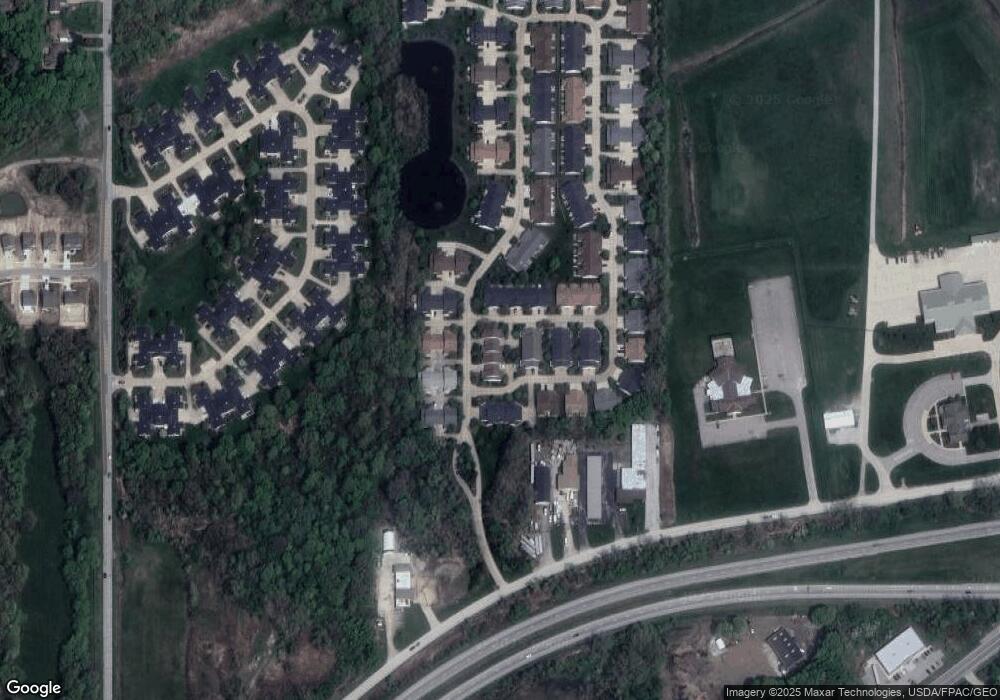
Map
Nearby Homes
- 634 N Creek Dr
- 1978 Marsh Ln Unit 1978
- 720 N Creek Dr
- 1865 Marsh Ln Unit 1865
- 751 Bacon Rd
- 1806 Muirfield Ln
- 1791 Muirfield Ln
- 1787 Muirfield Ln
- 1809 Muirfield Ln
- 0 N Ridge Rd Unit 5110949
- 1719 Duffton Ln
- 269 Hale Rd
- 1679 Duffton Ln
- 547 Greenside Dr
- 108 Birch Dr
- 499 Sand Trap Cir
- 1598 Bogie Ln
- 728 Bowhall Rd
- 389 Sand Trap Cir
- 399 Sandtrap Cir
- 627 N Creek Dr
- 1815 Royal Oak Dr Unit 2300G
- 629 N Creek Dr
- 2008 Mayapple Dr Unit 2300E
- 625 North Creek Dr Unit 2300B
- 629 North Creek Dr Unit 2300D
- 623 N Creek Dr
- 1805 Royal Oak Dr
- 2026 Mayapple Dr Unit 2026
- 1825 Royal Oak Dr Unit 1825
- 1835 Royal Oak Dr
- 2028 Mayapple Dr Unit 2028
- 632 North Creek Dr Unit 632
- 632 N Creek Dr
- 634 North Creek Dr Unit 634
- 2015 Mayapple Dr Unit 2015
- 2013 Mayapple Dr Unit 2013
- 624 North Creek Dr Unit 200D
- 2017 Mayapple Dr Unit 2017