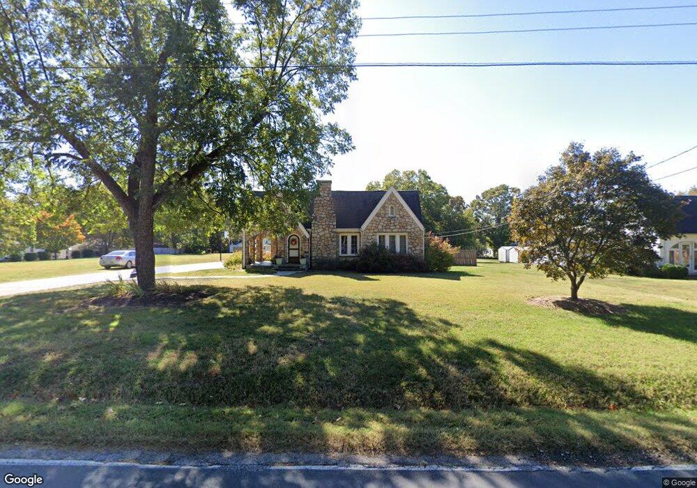
2004 Moose Rd Kannapolis, NC 28083
Estimated Value: $285,000 - $330,000
Studio
1
Bath
1,515
Sq Ft
$200/Sq Ft
Est. Value
About This Home
This home is located at 2004 Moose Rd, Kannapolis, NC 28083 and is currently estimated at $302,277, approximately $199 per square foot. 2004 Moose Rd is a home located in Rowan County with nearby schools including Jackson Park Elementary School, Kannapolis Middle, and A.L. Brown High School.
Ownership History
Date
Name
Owned For
Owner Type
Purchase Details
Closed on
Jan 31, 2006
Sold by
Wyatt Kristin and Mcfarland Kristin F
Bought by
Wyatt Kristin
Current Estimated Value
Home Financials for this Owner
Home Financials are based on the most recent Mortgage that was taken out on this home.
Original Mortgage
$43,500
Interest Rate
6.04%
Mortgage Type
Credit Line Revolving
Create a Home Valuation Report for This Property
The Home Valuation Report is an in-depth analysis detailing your home's value as well as a comparison with similar homes in the area
Home Values in the Area
Average Home Value in this Area
Purchase History
| Date | Buyer | Sale Price | Title Company |
|---|---|---|---|
| Wyatt Kristin | -- | None Available |
Source: Public Records
Mortgage History
| Date | Status | Borrower | Loan Amount |
|---|---|---|---|
| Closed | Wyatt Kristin | $43,500 |
Source: Public Records
Tax History
| Year | Tax Paid | Tax Assessment Tax Assessment Total Assessment is a certain percentage of the fair market value that is determined by local assessors to be the total taxable value of land and additions on the property. | Land | Improvement |
|---|---|---|---|---|
| 2025 | $2,996 | $247,636 | $28,750 | $218,886 |
| 2024 | $2,996 | $247,636 | $28,750 | $218,886 |
| 2023 | $2,996 | $247,636 | $28,750 | $218,886 |
| 2022 | $1,920 | $149,126 | $23,958 | $125,168 |
| 2021 | $1,920 | $149,126 | $23,958 | $125,168 |
| 2020 | $1,920 | $149,126 | $23,958 | $125,168 |
| 2019 | $1,920 | $149,126 | $23,958 | $125,168 |
| 2018 | $1,589 | $124,810 | $23,958 | $100,852 |
| 2017 | $1,589 | $124,810 | $23,958 | $100,852 |
| 2016 | $1,589 | $124,810 | $23,958 | $100,852 |
| 2015 | $1,613 | $124,810 | $23,958 | $100,852 |
| 2014 | $1,608 | $128,631 | $23,958 | $104,673 |
Source: Public Records
Map
Nearby Homes
- 1301 Mount Vernon Ave
- 2105 Woodlawn St
- 2136 Moose Rd
- 1305 Winged Way Unit 1
- 1325 Winged Way Unit 3
- 1335 Winged Way Unit 4
- 3000 Swallowtail Ln Unit 40
- 914 Carolyn Ave
- 2001 Lane St
- 3005 Swallowtail Ln Unit 41
- 2105 Fowler St
- 1500 Nectar Way Unit 32
- 1362 Poplar Glen Dr
- 3045 Swallowtail Ln
- 807 Carolyn Ave
- 2137 Lane St
- 1905 Clay St
- 545 Collins St
- 1409 Venus St
- 506 Nola Ave
Your Personal Tour Guide
Ask me questions while you tour the home.