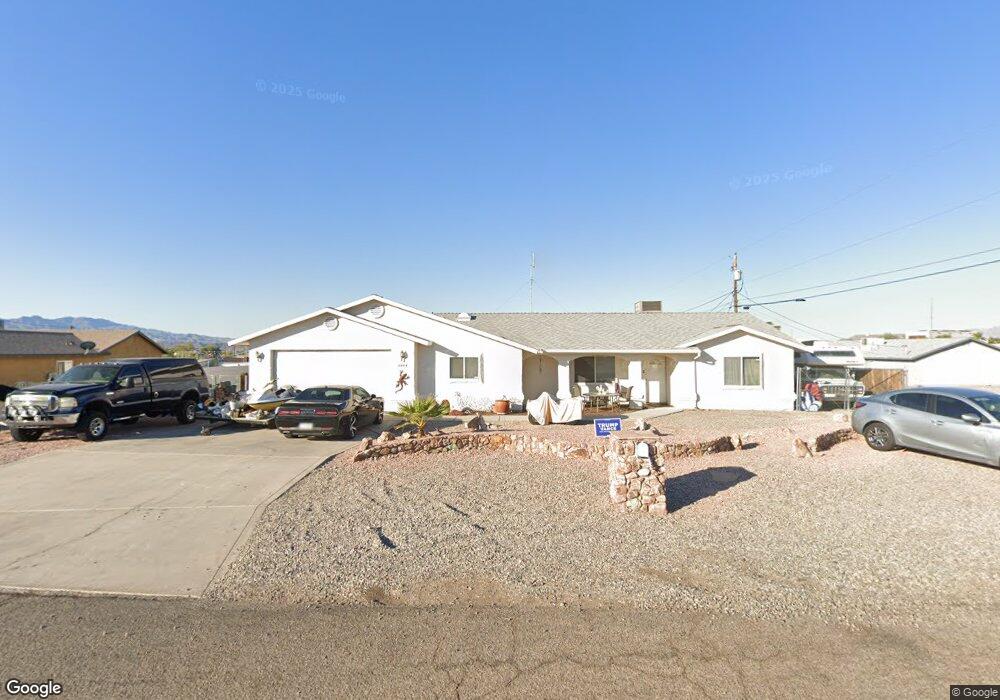
2004 Polaris Dr Lake Havasu City, AZ 86403
Estimated Value: $385,127 - $557,000
3
Beds
2
Baths
1,522
Sq Ft
$292/Sq Ft
Est. Value
About This Home
This home is located at 2004 Polaris Dr, Lake Havasu City, AZ 86403 and is currently estimated at $444,032, approximately $291 per square foot. 2004 Polaris Dr is a home located in Mohave County with nearby schools including Smoketree Elementary School, Thunderbolt Middle School, and Lake Havasu High School.
Ownership History
Date
Name
Owned For
Owner Type
Purchase Details
Closed on
Jan 28, 2003
Sold by
Kirkconnell Sheryl
Bought by
Hickey Howard Timothy
Current Estimated Value
Home Financials for this Owner
Home Financials are based on the most recent Mortgage that was taken out on this home.
Original Mortgage
$116,900
Outstanding Balance
$49,992
Interest Rate
5.93%
Mortgage Type
Purchase Money Mortgage
Estimated Equity
$394,040
Purchase Details
Closed on
Sep 14, 1995
Sold by
Cummins Construction Co Inc
Bought by
Gereghty John and Gereghty Valerie
Home Financials for this Owner
Home Financials are based on the most recent Mortgage that was taken out on this home.
Original Mortgage
$89,603
Interest Rate
7.86%
Mortgage Type
Seller Take Back
Create a Home Valuation Report for This Property
The Home Valuation Report is an in-depth analysis detailing your home's value as well as a comparison with similar homes in the area
Home Values in the Area
Average Home Value in this Area
Purchase History
| Date | Buyer | Sale Price | Title Company |
|---|---|---|---|
| Hickey Howard Timothy | -- | Chicago Title Insurance Co | |
| Hickey Howard Timothy | $129,900 | Chicago Title Insurance Co | |
| Gereghty John | -- | Transnation Title |
Source: Public Records
Mortgage History
| Date | Status | Borrower | Loan Amount |
|---|---|---|---|
| Open | Hickey Howard Timothy | $116,900 | |
| Previous Owner | Gereghty John | $89,603 |
Source: Public Records
Tax History Compared to Growth
Tax History
| Year | Tax Paid | Tax Assessment Tax Assessment Total Assessment is a certain percentage of the fair market value that is determined by local assessors to be the total taxable value of land and additions on the property. | Land | Improvement |
|---|---|---|---|---|
| 2026 | $758 | -- | -- | -- |
| 2025 | $1,536 | $32,964 | $0 | $0 |
| 2024 | $1,536 | $35,903 | $0 | $0 |
| 2023 | $1,536 | $30,805 | $0 | $0 |
| 2022 | $1,470 | $21,916 | $0 | $0 |
| 2021 | $1,638 | $20,390 | $0 | $0 |
| 2019 | $1,557 | $17,111 | $0 | $0 |
| 2018 | $1,505 | $16,045 | $0 | $0 |
| 2017 | $1,490 | $15,163 | $0 | $0 |
| 2016 | $1,352 | $14,295 | $0 | $0 |
| 2015 | $1,296 | $12,862 | $0 | $0 |
Source: Public Records
Map
Nearby Homes
- 1960 Pirate Ln
- 1986 Bahama Ave
- 583 Robin Ln
- 2021 Industrial
- 640 Acoma Blvd N
- 1790 Rainbow Ave S
- 320 Chipeta Ln
- 2200 Clarke Dr
- 1796 Bahama Ave Unit C
- 1795 Bimini Ln Unit B4
- 1775 Bimini Ln Unit E1
- 532 Acoma Blvd N
- 310 Pascaul Ln
- 2100 Chaparral Dr
- 260 Lava Ln
- 287 Pascaul Dr
- 1845 Palo Verde Blvd S
- 2301 Sahara Dr
- 2090 San Juan Dr
- 416 Sedona Dr
- 1982 Sprite Ln
- 2008 Polaris Dr
- 1992 Rainbow Ave N
- 1974 Sprite Ln
- 2011 Polaris Dr
- 2010 Polaris Dr
- 2002 Rainbow Ave N
- 1990 Rainbow Ave N
- 1966 Sprite Ln
- 2014 Polaris Dr
- 2020 Rainbow Ave N
- 2015 Polaris Dr
- 1958 Sprite Ln
- 2016 Polaris Dr
- 1950 Sprite Ln
- 2028 Rainbow Ave N
- 2021 Polaris Dr
- 2020 Polaris Dr
- 1942 Rainbow Ave N
- 1999 Rainbow Ave N