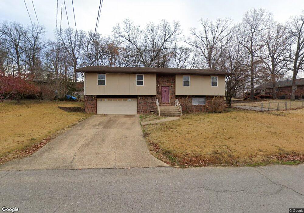
2004 Snider Rd Poplar Bluff, MO 63901
Estimated Value: $198,794 - $225,000
3
Beds
--
Bath
1,650
Sq Ft
$127/Sq Ft
Est. Value
About This Home
This home is located at 2004 Snider Rd, Poplar Bluff, MO 63901 and is currently estimated at $209,449, approximately $126 per square foot. 2004 Snider Rd is a home located in Butler County with nearby schools including O'Neal Elementary School, Poplar Bluff Fifth & Sixth Grade Center, and Poplar Bluff Junior High School.
Ownership History
Date
Name
Owned For
Owner Type
Purchase Details
Closed on
Apr 30, 2012
Sold by
Griffin Dortha Lee
Bought by
Wells Stacey E and Raymer Erica D
Current Estimated Value
Home Financials for this Owner
Home Financials are based on the most recent Mortgage that was taken out on this home.
Original Mortgage
$101,128
Outstanding Balance
$68,793
Interest Rate
3.97%
Mortgage Type
New Conventional
Estimated Equity
$140,656
Purchase Details
Closed on
Jan 18, 2005
Sold by
Griffin Harold E
Bought by
Griffin Harold E and Harold E Griffin Ii Revocable
Create a Home Valuation Report for This Property
The Home Valuation Report is an in-depth analysis detailing your home's value as well as a comparison with similar homes in the area
Home Values in the Area
Average Home Value in this Area
Purchase History
| Date | Buyer | Sale Price | Title Company |
|---|---|---|---|
| Wells Stacey E | -- | None Available | |
| Griffin Harold E | -- | -- |
Source: Public Records
Mortgage History
| Date | Status | Borrower | Loan Amount |
|---|---|---|---|
| Open | Wells Stacey E | $101,128 |
Source: Public Records
Tax History
| Year | Tax Paid | Tax Assessment Tax Assessment Total Assessment is a certain percentage of the fair market value that is determined by local assessors to be the total taxable value of land and additions on the property. | Land | Improvement |
|---|---|---|---|---|
| 2025 | $1,077 | $22,830 | $0 | $0 |
| 2024 | $10 | $21,240 | $0 | $0 |
| 2023 | $1,026 | $21,240 | $0 | $0 |
| 2022 | $993 | $20,600 | $0 | $0 |
| 2021 | $994 | $20,600 | $0 | $0 |
| 2020 | $977 | $19,980 | $0 | $0 |
| 2019 | $976 | $19,980 | $0 | $0 |
| 2018 | $976 | $19,980 | $0 | $0 |
| 2017 | -- | $19,980 | $0 | $0 |
| 2016 | -- | $19,980 | $0 | $0 |
| 2015 | -- | $19,980 | $0 | $0 |
| 2014 | -- | $18,740 | $0 | $0 |
| 2012 | $798 | $18,740 | $0 | $0 |
Source: Public Records
Map
Nearby Homes
- 2001 Woodhaven Rd
- 1557 Haven Hills Rd
- 2001 King Rd
- 1301 Lurlyn Rd
- 2105 Jackson Rd
- 1715 Big Bend Rd
- 1915 Old Orchard Rd
- 1723 Sunset Dr
- 2305 Lee St
- 2304 Lee St
- 1604 Big Bend Rd
- 2601 Forest View St
- 1824 Seifert Dr
- 1712 Seifert Dr
- 2418 Channon Dr
- 2420 Channon Dr
- 2310 Earl St
- 737 Price St
- 2329 Perkins Dr
- 2214 Trousdale St
- 2006 Snider Rd
- 2123 Sunset Dr
- 2008 Snider Rd
- 2005 Snider Rd
- 2001 Schweitzer Dr
- 2003 Schweitzer Dr
- 2007 Snider Rd
- 2009 Snider Rd
- 2129 Sunset Dr
- 2005 Schweitzer Dr
- 2010 Snider Rd
- 2011 Snider Rd
- 2133 Sunset Dr
- 2122 Sunset Dr
- 2126 Sunset Dr
- 2012 Snider Rd
- 2118 Sunset Dr
- 2135 Inman Rd
- 2002 Schweitzer Dr
- 2004 Schweitzer Dr
Your Personal Tour Guide
Ask me questions while you tour the home.