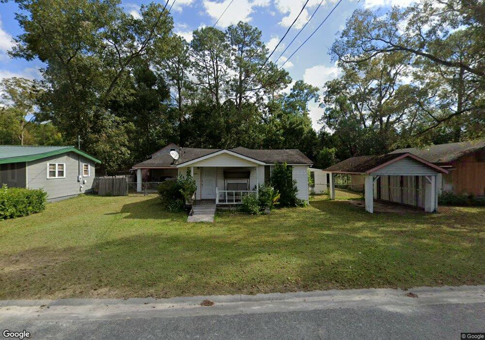
2004 Strickland St Waycross, GA 31501
Estimated Value: $78,000 - $93,000
--
Bed
1
Bath
1,052
Sq Ft
$81/Sq Ft
Est. Value
About This Home
This home is located at 2004 Strickland St, Waycross, GA 31501 and is currently estimated at $84,969, approximately $80 per square foot. 2004 Strickland St is a home located in Ware County with nearby schools including Wacona Elementary School, Ware County Middle School, and Ware County High School.
Ownership History
Date
Name
Owned For
Owner Type
Purchase Details
Closed on
Jun 24, 2022
Sold by
Carter Elvin Curtis
Bought by
Melanson James L and Melanson Rhonda J
Current Estimated Value
Home Financials for this Owner
Home Financials are based on the most recent Mortgage that was taken out on this home.
Original Mortgage
$55,800
Outstanding Balance
$46,564
Interest Rate
4.31%
Mortgage Type
New Conventional
Estimated Equity
$38,405
Purchase Details
Closed on
Jun 1, 2001
Sold by
Carter Elvin and Carter Laura
Bought by
Carter E Curtis
Purchase Details
Closed on
Mar 20, 1998
Sold by
Herrin Billy R and Herrin Pit
Bought by
Carter Elvin and Carter Laura
Purchase Details
Closed on
Dec 8, 1993
Bought by
Herrin Billy R and Herrin Pit
Purchase Details
Closed on
Apr 21, 1989
Bought by
Kinnon Gary Parker
Create a Home Valuation Report for This Property
The Home Valuation Report is an in-depth analysis detailing your home's value as well as a comparison with similar homes in the area
Home Values in the Area
Average Home Value in this Area
Purchase History
| Date | Buyer | Sale Price | Title Company |
|---|---|---|---|
| Melanson James L | $62,000 | -- | |
| Carter E Curtis | $32,000 | -- | |
| Carter Elvin | $24,000 | -- | |
| Herrin Billy R | $28,000 | -- | |
| Kinnon Gary Parker | $14,500 | -- |
Source: Public Records
Mortgage History
| Date | Status | Borrower | Loan Amount |
|---|---|---|---|
| Open | Melanson James L | $55,800 |
Source: Public Records
Tax History Compared to Growth
Tax History
| Year | Tax Paid | Tax Assessment Tax Assessment Total Assessment is a certain percentage of the fair market value that is determined by local assessors to be the total taxable value of land and additions on the property. | Land | Improvement |
|---|---|---|---|---|
| 2024 | $689 | $25,393 | $1,710 | $23,683 |
| 2023 | $653 | $15,041 | $678 | $14,363 |
| 2022 | $434 | $15,041 | $678 | $14,363 |
| 2021 | $327 | $10,421 | $678 | $9,743 |
| 2020 | $277 | $8,730 | $678 | $8,052 |
| 2019 | $272 | $8,428 | $678 | $7,750 |
| 2018 | $275 | $8,428 | $678 | $7,750 |
| 2017 | $401 | $12,300 | $678 | $11,622 |
| 2016 | $401 | $12,300 | $678 | $11,622 |
| 2015 | $405 | $12,299 | $678 | $11,622 |
| 2014 | $404 | $12,300 | $678 | $11,622 |
| 2013 | -- | $12,299 | $678 | $11,621 |
Source: Public Records
Map
Nearby Homes
- 2066 Cherokee St
- 1953 State St
- Lot 155 N Augusta Avenue Cherokee Ave
- 2117 Tamara Rd
- 122 Hopkins St
- 1300 Stanton Ave
- 109 Hebard St
- 1210 N Augusta Ave
- 135 Morgan St
- 2350 Edgewood St
- 0 Fluker St
- 220 E Blackshear Ave
- 121 Union St
- 1208 Abner St
- 01 State St
- 02 State St
- 3 Abc Ave
- 7 Abc Ave
- 6 Abc Ave
- 1 Abc Ave
- 2006 Strickland St
- 328 W Blackshear Ave
- 326 W Blackshear Ave
- 400 W Blackshear Ave
- 305 Short St
- 2009 Strickland St
- 324 W Blackshear Ave
- 301 Short St
- 2005 Mill St
- 327 W Blackshear Ave
- 408 W Blackshear Ave
- 325 W Blackshear Ave
- 2011 Strickland St
- 1819 Strickland St
- 321 W Blackshear Ave
- 405 W Blackshear Ave
- 322 W Blackshear Ave
- 205 Short St
- 452 Jessie St
- 450 Jessie St