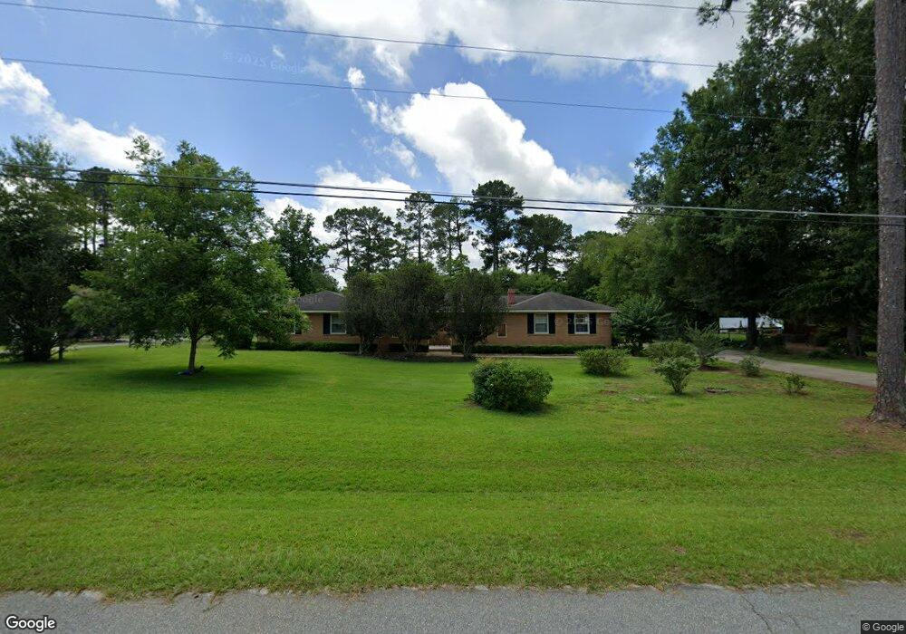
2004 Trowbridge Rd Albany, GA 31721
Estimated Value: $209,479 - $261,000
3
Beds
3
Baths
2,105
Sq Ft
$117/Sq Ft
Est. Value
About This Home
This home is located at 2004 Trowbridge Rd, Albany, GA 31721 and is currently estimated at $246,620, approximately $117 per square foot. 2004 Trowbridge Rd is a home located in Dougherty County with nearby schools including Lake Park Elementary School, Merry Acres Middle School, and Westover High School.
Ownership History
Date
Name
Owned For
Owner Type
Purchase Details
Closed on
Jan 28, 2025
Sold by
Brooks Jerry Austin
Bought by
Brooks Terry
Current Estimated Value
Purchase Details
Closed on
Nov 25, 2024
Sold by
Chambless Brooks Christine
Bought by
Brooks Terry
Purchase Details
Closed on
Apr 11, 1995
Sold by
Rufener John
Bought by
Brooks Jerry A and Brooks Christine
Purchase Details
Closed on
Nov 19, 1990
Sold by
Hayes Randy E
Bought by
Rufener John
Purchase Details
Closed on
Apr 18, 1983
Sold by
Vansant Sheila C
Bought by
Hayes Randy and Hayes Rosa
Create a Home Valuation Report for This Property
The Home Valuation Report is an in-depth analysis detailing your home's value as well as a comparison with similar homes in the area
Purchase History
| Date | Buyer | Sale Price | Title Company |
|---|---|---|---|
| Brooks Terry | -- | -- | |
| Brooks Terry | -- | -- | |
| Brooks Jerry A | $102,000 | -- | |
| Rufener John | $71,900 | -- | |
| Hayes Randy | -- | -- |
Source: Public Records
Tax History
| Year | Tax Paid | Tax Assessment Tax Assessment Total Assessment is a certain percentage of the fair market value that is determined by local assessors to be the total taxable value of land and additions on the property. | Land | Improvement |
|---|---|---|---|---|
| 2024 | $2,643 | $58,320 | $14,000 | $44,320 |
| 2023 | $1,584 | $58,320 | $14,000 | $44,320 |
| 2022 | $2,432 | $58,320 | $14,000 | $44,320 |
| 2021 | $2,246 | $58,320 | $14,000 | $44,320 |
| 2020 | $2,251 | $58,320 | $14,000 | $44,320 |
| 2019 | $2,260 | $58,320 | $14,000 | $44,320 |
| 2018 | $2,269 | $58,320 | $14,000 | $44,320 |
| 2017 | $2,106 | $58,320 | $14,000 | $44,320 |
| 2016 | $2,107 | $58,320 | $14,000 | $44,320 |
| 2015 | $2,111 | $58,320 | $14,000 | $44,320 |
| 2014 | $2,080 | $58,320 | $14,000 | $44,320 |
Source: Public Records
Map
Nearby Homes
- 1930 Beattie Rd
- 2105 Beattie Rd
- 2202 Trowbridge Rd
- 2002 Cumberland Ln
- 3215 Saddleleaf Ave
- 3422 Plantation Dr
- 2115 Cumberland Ln
- 1903 Devon Dr
- 3114 Westgate Dr
- 3607 Castle Pines Ln
- 3013 Ember Ct
- 1729 Dorchester Dr
- 3409 Bellingham Ln
- 1720 Whisperwood St
- 3424 Bellingham Ln
- 1633 Devon Dr
- 1800 Regalwood Dr
- 1627 Devon Dr
- 1619 Northwood Dr
- 1506 Westwood Dr
- 2002 Trowbridge Rd
- 2006 Trowbridge Rd
- 3314 Westgate Dr
- 3312 Westgate Dr
- 2000 Trowbridge Rd
- 2003 Trowbridge Rd
- 2005 Trowbridge Rd
- 2008 Trowbridge Rd
- 3316 Westgate Dr
- 2001 Trowbridge Rd
- 2007 Trowbridge Rd
- 3310 Westgate Dr
- 3318 Westgate Dr
- 1731 Beattie Rd
- 2009 Beattie Rd
- 1800 - 2 Beattie Rd
- 1800 Beattie Rd
- 2010 Trowbridge Rd
- 2009 Trowbridge Rd
- 2102 Beattie Rd
Your Personal Tour Guide
Ask me questions while you tour the home.