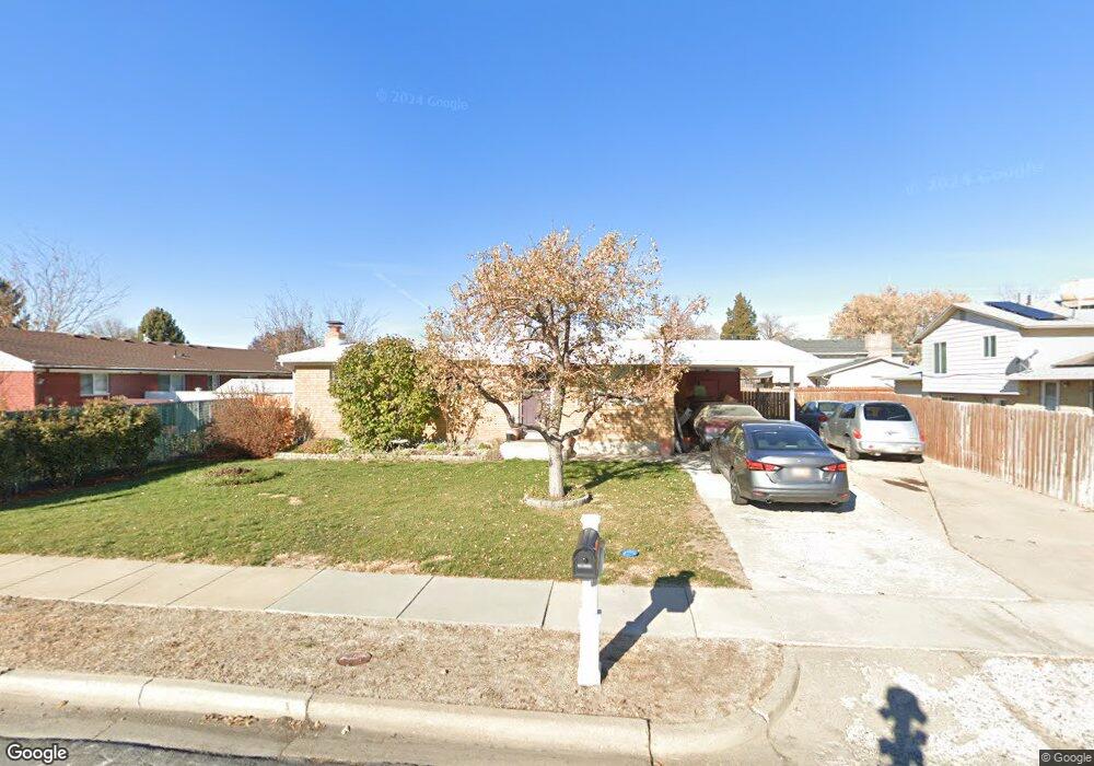
2004 W Afton Cir Layton, UT 84041
Estimated Value: $363,000 - $410,000
4
Beds
2
Baths
1,950
Sq Ft
$201/Sq Ft
Est. Value
About This Home
This home is located at 2004 W Afton Cir, Layton, UT 84041 and is currently estimated at $392,131, approximately $201 per square foot. 2004 W Afton Cir is a home located in Davis County with nearby schools including Vae View Elementary School, Central Davis Junior High School, and Layton High School.
Ownership History
Date
Name
Owned For
Owner Type
Purchase Details
Closed on
Jul 1, 2009
Sold by
Alder Diane
Bought by
Maloy Steven W and Maloy Jennifer M
Current Estimated Value
Home Financials for this Owner
Home Financials are based on the most recent Mortgage that was taken out on this home.
Original Mortgage
$150,130
Outstanding Balance
$94,956
Interest Rate
4.79%
Mortgage Type
FHA
Estimated Equity
$297,175
Purchase Details
Closed on
Aug 21, 2007
Sold by
Alder Kirt Kenneth
Bought by
Alder Diane
Home Financials for this Owner
Home Financials are based on the most recent Mortgage that was taken out on this home.
Original Mortgage
$116,000
Interest Rate
6.73%
Mortgage Type
Purchase Money Mortgage
Purchase Details
Closed on
Aug 9, 2002
Sold by
Alder Kirk K and Alder Diane
Bought by
Alder Kirt Kenneth and Alder Diane
Home Financials for this Owner
Home Financials are based on the most recent Mortgage that was taken out on this home.
Original Mortgage
$100,000
Interest Rate
6.51%
Purchase Details
Closed on
Aug 17, 1999
Sold by
Austin Elizabeth M
Bought by
Austin Elizabeth M
Home Financials for this Owner
Home Financials are based on the most recent Mortgage that was taken out on this home.
Original Mortgage
$99,900
Interest Rate
7.7%
Purchase Details
Closed on
Aug 9, 1999
Sold by
Alder Diane
Bought by
Alder Kirt K and Alder Diane
Home Financials for this Owner
Home Financials are based on the most recent Mortgage that was taken out on this home.
Original Mortgage
$99,900
Interest Rate
7.7%
Purchase Details
Closed on
Aug 6, 1999
Sold by
Federal National Mortgage Association
Bought by
Alder Diane
Home Financials for this Owner
Home Financials are based on the most recent Mortgage that was taken out on this home.
Original Mortgage
$99,900
Interest Rate
7.7%
Purchase Details
Closed on
Jun 9, 1999
Sold by
Lee Matie Casey Ivan and Lee Matie Sandy
Bought by
Federal National Mortgage Association
Home Financials for this Owner
Home Financials are based on the most recent Mortgage that was taken out on this home.
Original Mortgage
$99,900
Interest Rate
7.7%
Purchase Details
Closed on
Feb 14, 1996
Sold by
Matie Casey Ivan and Matie Sandra Lee
Bought by
Matie Casey Ivan and Matie Sandy Lee
Home Financials for this Owner
Home Financials are based on the most recent Mortgage that was taken out on this home.
Original Mortgage
$72,000
Interest Rate
7.1%
Create a Home Valuation Report for This Property
The Home Valuation Report is an in-depth analysis detailing your home's value as well as a comparison with similar homes in the area
Home Values in the Area
Average Home Value in this Area
Purchase History
| Date | Buyer | Sale Price | Title Company |
|---|---|---|---|
| Maloy Steven W | -- | First American Title | |
| Alder Diane | -- | Integrated Title Insurance | |
| Alder Kirt Kenneth | -- | Mountain View Title & Escrow | |
| Austin Elizabeth M | -- | -- | |
| Alder Kirt K | -- | Us Title | |
| Alder Diane | $102,989 | Us Title | |
| Federal National Mortgage Association | $78,470 | -- | |
| Matie Casey Ivan | -- | Backman Stewart Title Servic |
Source: Public Records
Mortgage History
| Date | Status | Borrower | Loan Amount |
|---|---|---|---|
| Open | Maloy Steven W | $150,130 | |
| Previous Owner | Alder Diane | $116,000 | |
| Previous Owner | Alder Kirt Kenneth | $100,000 | |
| Previous Owner | Alder Diane | $99,900 | |
| Previous Owner | Matie Casey Ivan | $72,000 |
Source: Public Records
Tax History Compared to Growth
Tax History
| Year | Tax Paid | Tax Assessment Tax Assessment Total Assessment is a certain percentage of the fair market value that is determined by local assessors to be the total taxable value of land and additions on the property. | Land | Improvement |
|---|---|---|---|---|
| 2025 | $1,902 | $199,650 | $100,178 | $99,472 |
| 2024 | $1,867 | $197,450 | $119,689 | $77,761 |
| 2023 | $1,813 | $338,000 | $158,359 | $179,641 |
| 2022 | $1,962 | $198,550 | $73,674 | $124,876 |
| 2021 | $1,782 | $269,000 | $103,986 | $165,014 |
| 2020 | $1,485 | $215,000 | $76,134 | $138,866 |
| 2019 | $1,481 | $210,000 | $73,208 | $136,792 |
| 2018 | $1,285 | $183,000 | $67,785 | $115,215 |
| 2016 | $1,106 | $81,236 | $19,674 | $61,562 |
| 2015 | $1,064 | $74,196 | $19,674 | $54,522 |
| 2014 | $1,042 | $74,289 | $19,674 | $54,615 |
| 2013 | -- | $76,772 | $19,646 | $57,126 |
Source: Public Records
Map
Nearby Homes
- 1740 N Gregory Dr
- 1916 W Gregory Dr
- 1937 W 1620 N
- 1954 Ann St
- 1992 W Afton Cir
- 1430 N 2100 W
- 1491 N 1875 W
- 1491 N 1875 W Unit 158
- 1487 N 1875 W
- 1487 N 1875 W Unit 159
- 1476 N 1875 W Unit 164
- 1483 N 1875 W
- 1479 N 1875 W
- 1479 N 1875 W Unit 161
- 2114 S 825 E
- 1463 N 1875 W Unit 165
- 1463 N 1875 W
- 1459 N 1875 W
- 1459 N 1875 W Unit 166
- 1455 N 1875 W Unit 167
- 1725 N Gregory Dr
- 1708 N Afton Cir
- 1716 N Afton Cir
- 2007 W Afton Cir
- 1741 N Gregory Dr
- 1728 N Afton Cir
- 2019 W Afton Cir
- 1724 N Gregory Dr
- 1679 N Gregory Dr
- 1749 N Gregory Dr
- 1740 N Afton Cir
- 1702 N Gregory Dr
- 1725 N Afton Cir
- 1717 N Afton Cir
- 1701 N Afton Cir
- 1730 N Gregory Dr
- 2027 W Afton Cir
- 1696 N Gregory Dr
- 2020 Clyde St
- 2030 Clyde St