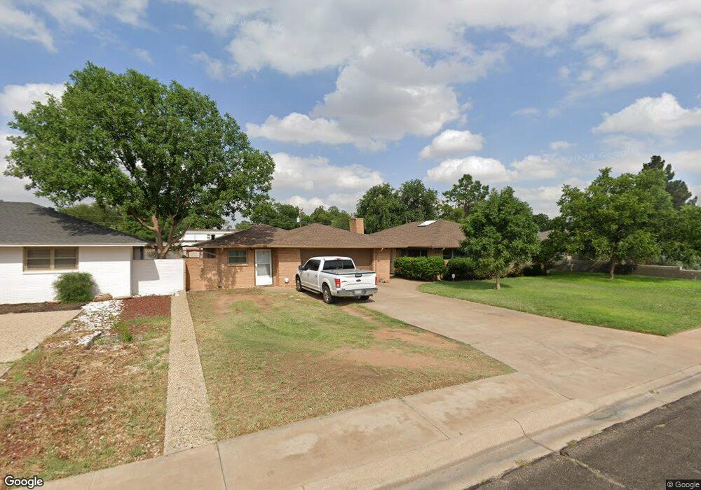
2004 Western Dr Midland, TX 79705
Estimated Value: $363,156 - $492,000
--
Bed
2
Baths
2,197
Sq Ft
$186/Sq Ft
Est. Value
About This Home
This home is located at 2004 Western Dr, Midland, TX 79705 and is currently estimated at $408,539, approximately $185 per square foot. 2004 Western Dr is a home located in Midland County with nearby schools including Fannin Elementary School, Midland High School, and The Hillander School.
Ownership History
Date
Name
Owned For
Owner Type
Purchase Details
Closed on
May 9, 1997
Bought by
Gilbert Roger
Current Estimated Value
Purchase Details
Closed on
Mar 1, 1997
Bought by
Gilbert Roger
Purchase Details
Closed on
May 19, 1992
Bought by
Gilbert Roger
Purchase Details
Closed on
Sep 1, 1991
Bought by
Gilbert Roger
Purchase Details
Closed on
Jun 1, 1991
Bought by
Gilbert Roger
Purchase Details
Closed on
Mar 1, 1991
Bought by
Gilbert Roger
Purchase Details
Closed on
Aug 1, 1990
Bought by
Gilbert Roger
Create a Home Valuation Report for This Property
The Home Valuation Report is an in-depth analysis detailing your home's value as well as a comparison with similar homes in the area
Home Values in the Area
Average Home Value in this Area
Purchase History
| Date | Buyer | Sale Price | Title Company |
|---|---|---|---|
| Gilbert Roger | -- | -- | |
| Gilbert Roger | -- | -- | |
| Gilbert Roger | -- | -- | |
| Gilbert Roger | -- | -- | |
| Gilbert Roger | -- | -- | |
| Gilbert Roger | -- | -- | |
| Gilbert Roger | -- | -- |
Source: Public Records
Tax History Compared to Growth
Tax History
| Year | Tax Paid | Tax Assessment Tax Assessment Total Assessment is a certain percentage of the fair market value that is determined by local assessors to be the total taxable value of land and additions on the property. | Land | Improvement |
|---|---|---|---|---|
| 2025 | $3,297 | $254,980 | $40,350 | $214,630 |
| 2024 | $3,303 | $292,940 | $40,350 | $252,590 |
| 2023 | $4,076 | $291,540 | $40,350 | $251,190 |
| 2022 | $3,863 | $270,240 | $40,350 | $229,890 |
| 2021 | $3,833 | $264,340 | $40,350 | $223,990 |
| 2020 | $2,943 | $200,000 | $40,350 | $159,650 |
| 2019 | $3,498 | $184,757 | $40,350 | $159,650 |
| 2018 | $3,266 | $167,961 | $40,350 | $159,650 |
| 2017 | $3,533 | $181,710 | $40,350 | $141,360 |
| 2016 | $3,539 | $181,710 | $40,350 | $141,360 |
| 2015 | -- | $177,930 | $40,350 | $166,510 |
| 2014 | -- | $209,170 | $40,350 | $168,820 |
Source: Public Records
Map
Nearby Homes
- 2105 Oaklawn Dr
- 2109 Western Dr
- 2202 Western Dr
- 1210 W Scharbauer Dr
- 1202 W Scharbauer Dr
- 1200 W Scharbauer Dr
- 1602 Winfield Rd
- 1805 N D St
- 1606 Shell Ave
- 1605 Shell Ave
- TBD Bonham St
- 1209 W Pecan Ave
- 1607 Shell Ave
- 1000 Sinclair Ave
- 2016 Gulf Prairie Ln
- 907 Shirley Ct
- 809 Sinclair Ave
- 1611 W Pecan Ave
- 1609 N C St
- 806 Stanolind Ave
- 2006 Western Dr
- 2002 Western Dr
- 2003 Oaklawn Dr
- 2001 Oaklawn Dr
- 2100 Western Dr
- 2000 Western Dr
- 2005 Oaklawn Dr
- 2007 Western Dr
- 2005 Western Dr
- 1216 Humble Ave
- 2009 Western Dr
- 2003 Western Dr
- 2101 Oaklawn Dr
- 1214 Humble Ave
- 2102 Raleigh Point Dr
- 2102 Western Dr
- 2101 Western Dr
- 2001 Western Dr
- 2103 Oaklawn Dr
- 2103 Western Dr