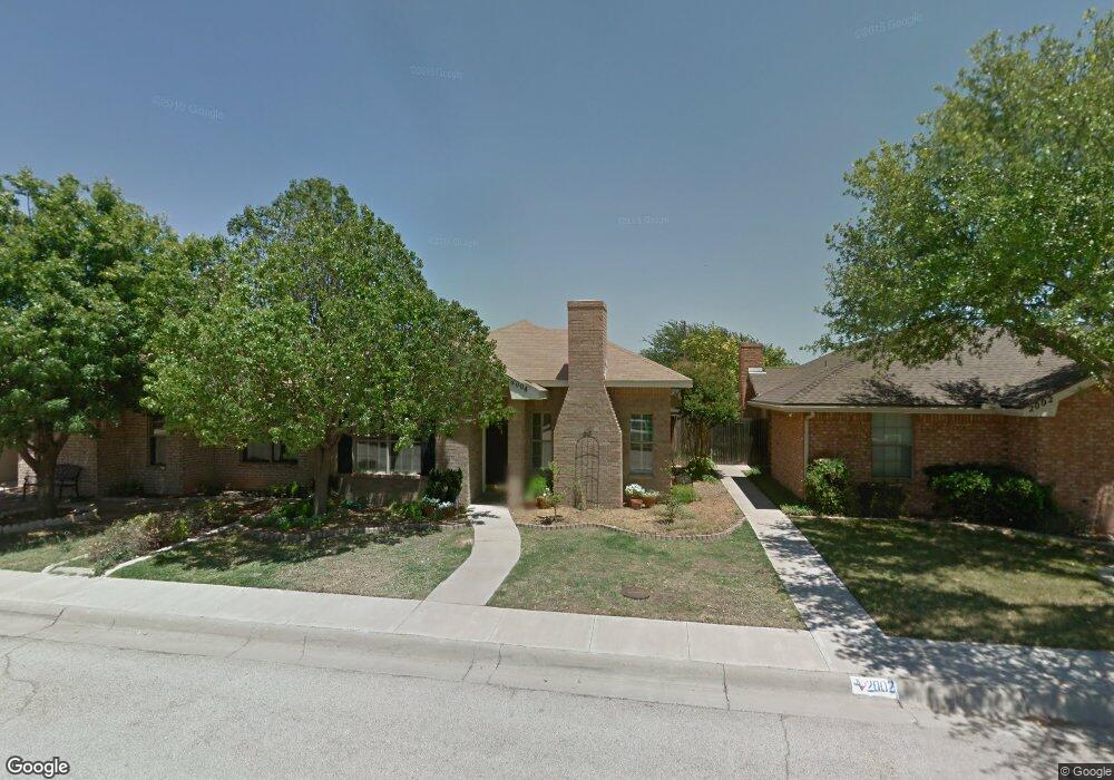
2004 Westwind Dr Midland, TX 79707
Wedgewood Park NeighborhoodEstimated Value: $195,000 - $247,000
--
Bed
--
Bath
1,196
Sq Ft
$188/Sq Ft
Est. Value
About This Home
This home is located at 2004 Westwind Dr, Midland, TX 79707 and is currently estimated at $224,702, approximately $187 per square foot. 2004 Westwind Dr is a home located in Midland County with nearby schools including Rusk Elementary School, Alamo Junior High School, and Permian Basin Classical Academy.
Ownership History
Date
Name
Owned For
Owner Type
Purchase Details
Closed on
Aug 6, 2021
Sold by
Haney Betsy A
Bought by
Little Sarah Kate
Current Estimated Value
Home Financials for this Owner
Home Financials are based on the most recent Mortgage that was taken out on this home.
Original Mortgage
$153,600
Outstanding Balance
$139,580
Interest Rate
3%
Mortgage Type
New Conventional
Estimated Equity
$85,122
Purchase Details
Closed on
Mar 25, 1992
Bought by
Haney Betsy A
Purchase Details
Closed on
Jan 1, 1901
Bought by
Haney Betsy A
Create a Home Valuation Report for This Property
The Home Valuation Report is an in-depth analysis detailing your home's value as well as a comparison with similar homes in the area
Home Values in the Area
Average Home Value in this Area
Purchase History
| Date | Buyer | Sale Price | Title Company |
|---|---|---|---|
| Little Sarah Kate | -- | West Texas Abstract | |
| Haney Betsy A | -- | -- | |
| Haney Betsy A | -- | -- |
Source: Public Records
Mortgage History
| Date | Status | Borrower | Loan Amount |
|---|---|---|---|
| Open | Little Sarah Kate | $153,600 |
Source: Public Records
Tax History Compared to Growth
Tax History
| Year | Tax Paid | Tax Assessment Tax Assessment Total Assessment is a certain percentage of the fair market value that is determined by local assessors to be the total taxable value of land and additions on the property. | Land | Improvement |
|---|---|---|---|---|
| 2025 | $1,696 | $176,020 | $8,150 | $167,870 |
| 2024 | $1,699 | $180,560 | $8,150 | $172,410 |
| 2023 | $1,664 | $180,560 | $8,150 | $172,410 |
| 2022 | $2,685 | $171,820 | $8,150 | $163,670 |
| 2021 | $2,765 | $158,700 | $8,150 | $150,550 |
| 2020 | $2,694 | $155,470 | $8,150 | $147,320 |
| 2019 | $2,943 | $155,470 | $8,150 | $147,320 |
| 2018 | $2,826 | $145,360 | $8,150 | $137,210 |
| 2017 | $2,741 | $140,970 | $8,150 | $132,820 |
| 2016 | $2,701 | $146,670 | $8,150 | $138,520 |
| 2015 | -- | $140,840 | $8,150 | $132,690 |
| 2014 | -- | $134,950 | $8,150 | $126,800 |
Source: Public Records
Map
Nearby Homes
- 2000 Freeport Ln
- 1824 Northern Ln
- 1818 Northern Ln
- 4313 W Dengar Ave
- 1509 Cascade Ct
- 3802 Suncrest Ave
- 4342 W Dengar Ave
- 2906 Aurora Ln
- 3523 Lonoke Ave
- 3517 Seaboard Ave
- 1502 Alcove Ct
- 2306 Abbey Place
- 1715 Bates St
- 0000 N Midland Dr
- 4618 Andrews Hwy
- 3200 Highsky Dr
- 4310 Nelson Rd
- 4620 Andrews Hwy
- 4206 Nelson Rd
- 3210 Preston Dr
- 2002 Westwind Dr
- 2006 Westwind Dr
- 2008 Westwind Dr
- 2000 Westwind Dr
- 2100 Westwind Dr
- 2005 Freeport Ln
- 2007 Freeport Ln
- 2003 Freeport Ln
- 2102 Westwind Dr
- 2009 Freeport Ln
- 2005 Westwind Dr
- 2001 Freeport Ln
- 2007 Westwind Dr
- 2003 Westwind Dr
- 2009 Westwind Dr
- 2001 Westwind Dr
- 2101 Freeport Ln
- 2101 Westwind Dr
- 2104 Westwind Dr
- 2103 Freeport Ln