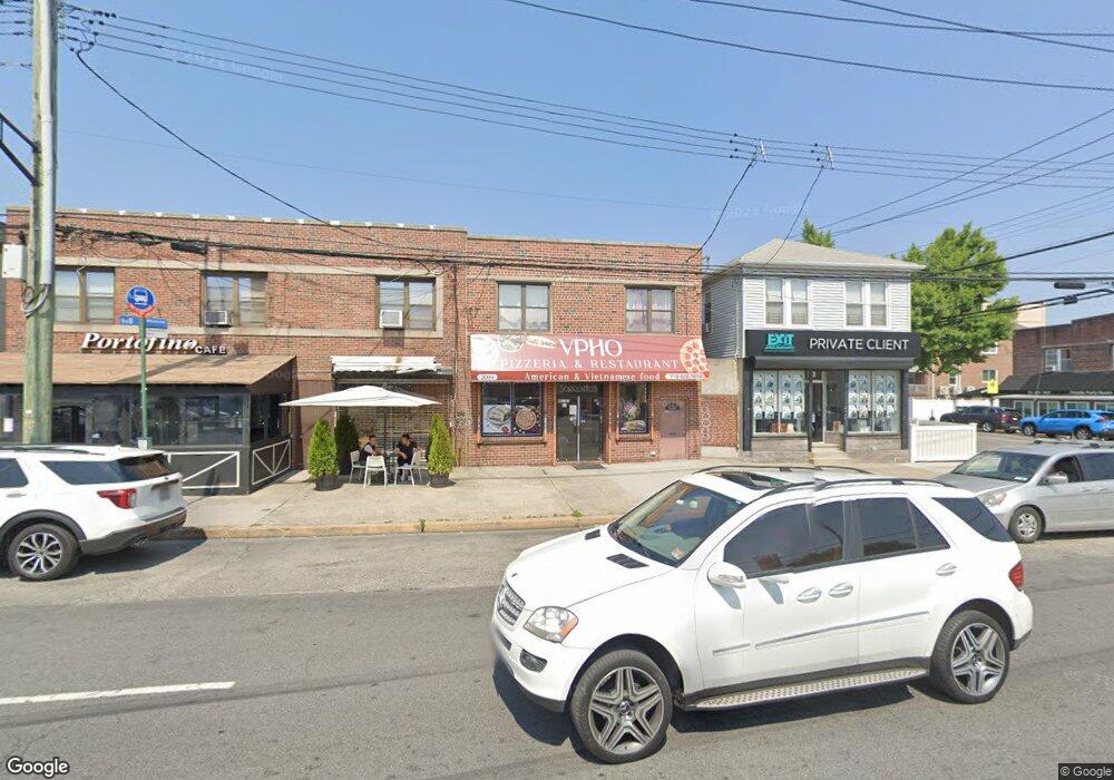
2004 Williamsbridge Rd Bronx, NY 10461
Morris Park NeighborhoodEstimated Value: $1,082,927
Studio
--
Bath
2,470
Sq Ft
$438/Sq Ft
Est. Value
About This Home
This home is located at 2004 Williamsbridge Rd, Bronx, NY 10461 and is currently estimated at $1,082,927, approximately $438 per square foot. 2004 Williamsbridge Rd is a home located in Bronx County with nearby schools including P.S. 108 Philip J Abinanti, J.H.S. 144 Michelangelo, and Children's Aid College Preparatory Charter School.
Ownership History
Date
Name
Owned For
Owner Type
Purchase Details
Closed on
Jun 16, 2023
Sold by
Anthony Nardi Trustee and Robert Nardi Trustee
Bought by
Tran Capital Property Llc
Current Estimated Value
Home Financials for this Owner
Home Financials are based on the most recent Mortgage that was taken out on this home.
Original Mortgage
$555,000
Outstanding Balance
$540,051
Interest Rate
6.35%
Mortgage Type
Purchase Money Mortgage
Estimated Equity
$542,876
Purchase Details
Closed on
Mar 2, 2020
Sold by
Nardi Alberto and Nardi Esterina
Bought by
Alberto Nardi & Esterina Nardi Irrev Inc and Nardi Alberto
Create a Home Valuation Report for This Property
The Home Valuation Report is an in-depth analysis detailing your home's value as well as a comparison with similar homes in the area
Home Values in the Area
Average Home Value in this Area
Purchase History
| Date | Buyer | Sale Price | Title Company |
|---|---|---|---|
| Tran Capital Property Llc | $995,000 | -- | |
| Alberto Nardi & Esterina Nardi Irrev Inc | -- | -- |
Source: Public Records
Mortgage History
| Date | Status | Borrower | Loan Amount |
|---|---|---|---|
| Open | Tran Capital Property Llc | $555,000 |
Source: Public Records
Tax History
| Year | Tax Paid | Tax Assessment Tax Assessment Total Assessment is a certain percentage of the fair market value that is determined by local assessors to be the total taxable value of land and additions on the property. | Land | Improvement |
|---|---|---|---|---|
| 2025 | $13,632 | $132,660 | $46,350 | $86,310 |
| 2024 | $13,632 | $137,340 | $46,350 | $90,990 |
| 2023 | $14,803 | $139,050 | $46,350 | $92,700 |
| 2022 | $14,374 | $133,650 | $46,350 | $87,300 |
| 2021 | $12,849 | $120,150 | $46,350 | $73,800 |
| 2020 | $16,804 | $165,150 | $46,350 | $118,800 |
| 2019 | $16,134 | $153,450 | $46,350 | $107,100 |
| 2018 | $15,774 | $158,850 | $46,350 | $112,500 |
| 2017 | $13,658 | $160,200 | $46,350 | $113,850 |
| 2016 | $11,528 | $159,750 | $46,350 | $113,400 |
| 2015 | $4,249 | $143,100 | $29,700 | $113,400 |
| 2014 | $4,249 | $128,250 | $29,700 | $98,550 |
Source: Public Records
Map
Nearby Homes
- 1100 Neill Ave
- 1194 Lydig Ave
- 1942 Haight Ave
- 1922 Hering Ave
- 1912 Haight Ave
- 1917 Haight Ave
- 1059 Neill Ave
- 2154 Haight Ave
- 1116 Rhinelander Ave
- 1863 Williamsbridge Rd
- 1054 Lydig Ave
- 1214 Pelham Pkwy S
- 1242 Pawnee Place
- 1245 Rhinelander Ave
- 1818 Tomlinson Ave
- 1850 Hone Ave
- 1832 Narragansett Ave
- 1260 Rhinelander Ave
- 2019 Colden Ave
- 1833 Hone Ave
- 2006 Williamsbridge Rd
- 2006-2008 Williamsbridge Rd
- 2000 Williamsbridge Rd
- 1147 Neill Ave Unit Apartment
- 1147 Neill Ave Unit Apartment 3
- 1147 Neill Ave Unit Apartment 2
- 1147 Neill Ave
- 2010 Williamsbridge Rd
- 1149 Neill Ave
- 2018 Williamsbridge Rd
- 1151 Neill Ave
- 2012 Williamsbridge Rd
- 2012 Williamsbridge Rd Unit 1,2,3,4,5,6
- 2012 Williamsbridge Rd Unit 1,2,3
- 1144 Neill Ave
- 2013 Yates Ave
- 2005 Yates Ave
- 2001 Yates Ave
- 2017 Yates Ave
Your Personal Tour Guide
Ask me questions while you tour the home.