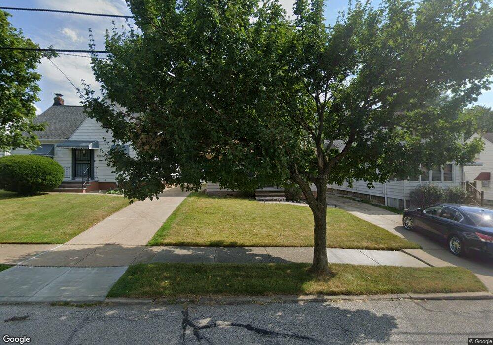
20040 Raymond St Maple Heights, OH 44137
Estimated Value: $104,000 - $135,000
3
Beds
1
Bath
962
Sq Ft
$121/Sq Ft
Est. Value
About This Home
This home is located at 20040 Raymond St, Maple Heights, OH 44137 and is currently estimated at $116,293, approximately $120 per square foot. 20040 Raymond St is a home located in Cuyahoga County with nearby schools including Abraham Lincoln Elementary School, Rockside/ J.F. Kennedy School, and Italy High School.
Ownership History
Date
Name
Owned For
Owner Type
Purchase Details
Closed on
Jun 7, 2007
Sold by
Pirro Michael J and Pirro Darla M
Bought by
Witt Kareemah
Current Estimated Value
Home Financials for this Owner
Home Financials are based on the most recent Mortgage that was taken out on this home.
Original Mortgage
$74,900
Outstanding Balance
$45,856
Interest Rate
6.2%
Mortgage Type
Purchase Money Mortgage
Estimated Equity
$70,437
Purchase Details
Closed on
Jan 26, 1983
Sold by
Pirro Margaret
Bought by
Michael J Pirro
Purchase Details
Closed on
Jan 1, 1975
Bought by
Pirro Margaret
Create a Home Valuation Report for This Property
The Home Valuation Report is an in-depth analysis detailing your home's value as well as a comparison with similar homes in the area
Home Values in the Area
Average Home Value in this Area
Purchase History
| Date | Buyer | Sale Price | Title Company |
|---|---|---|---|
| Witt Kareemah | $74,900 | Suntrust Title Agency | |
| Michael J Pirro | -- | -- | |
| Pirro Margaret | -- | -- |
Source: Public Records
Mortgage History
| Date | Status | Borrower | Loan Amount |
|---|---|---|---|
| Open | Witt Kareemah | $74,900 |
Source: Public Records
Tax History Compared to Growth
Tax History
| Year | Tax Paid | Tax Assessment Tax Assessment Total Assessment is a certain percentage of the fair market value that is determined by local assessors to be the total taxable value of land and additions on the property. | Land | Improvement |
|---|---|---|---|---|
| 2024 | $3,244 | $36,015 | $6,720 | $29,295 |
| 2023 | $2,115 | $19,360 | $3,890 | $15,470 |
| 2022 | $2,107 | $19,360 | $3,890 | $15,470 |
| 2021 | $2,243 | $19,360 | $3,890 | $15,470 |
| 2020 | $1,923 | $14,670 | $2,940 | $11,730 |
| 2019 | $1,912 | $41,900 | $8,400 | $33,500 |
| 2018 | $1,800 | $14,670 | $2,940 | $11,730 |
| 2017 | $1,838 | $13,760 | $2,700 | $11,060 |
| 2016 | $1,778 | $13,760 | $2,700 | $11,060 |
| 2015 | $1,773 | $13,760 | $2,700 | $11,060 |
| 2014 | $1,773 | $15,130 | $2,980 | $12,150 |
Source: Public Records
Map
Nearby Homes
- 20120 Mccracken Rd
- 19807 Gardenview Dr
- 20715 Watson Rd
- 20814 Watson Rd
- 20907 Watson Rd
- 19806 Mountville Dr
- 20107 Libby Rd
- 20510 Mountville Dr
- 19520 Maple Heights Blvd
- 19309 Nitra Ave
- 5165 Camden Rd
- 20701 Kenyon Dr
- 21102 Raymond St
- 20814 Kenyon Dr
- 19812 Stockton Ave
- 21207 Franklin Rd
- 19289 Stafford Ave
- 5265 Bellview St
- 19221 Stafford Ave
- 21416 Gardenview Dr
- 20060 Raymond St
- 20008 Raymond St
- 20080 Raymond St
- 20002 Raymond St
- 20100 Raymond St
- 19976 Raymond St
- 20130 Raymond St
- 20021 Raymond St
- 20041 Raymond St
- 20001 Raymond St
- 20061 Raymond St
- 19981 Raymond St
- 19970 Raymond St
- 20150 Raymond St
- 20081 Raymond St
- 19979 Raymond St
- 20109 Raymond St
- 19966 Raymond St
- 20184 Raymond St
- 20179 Raymond St