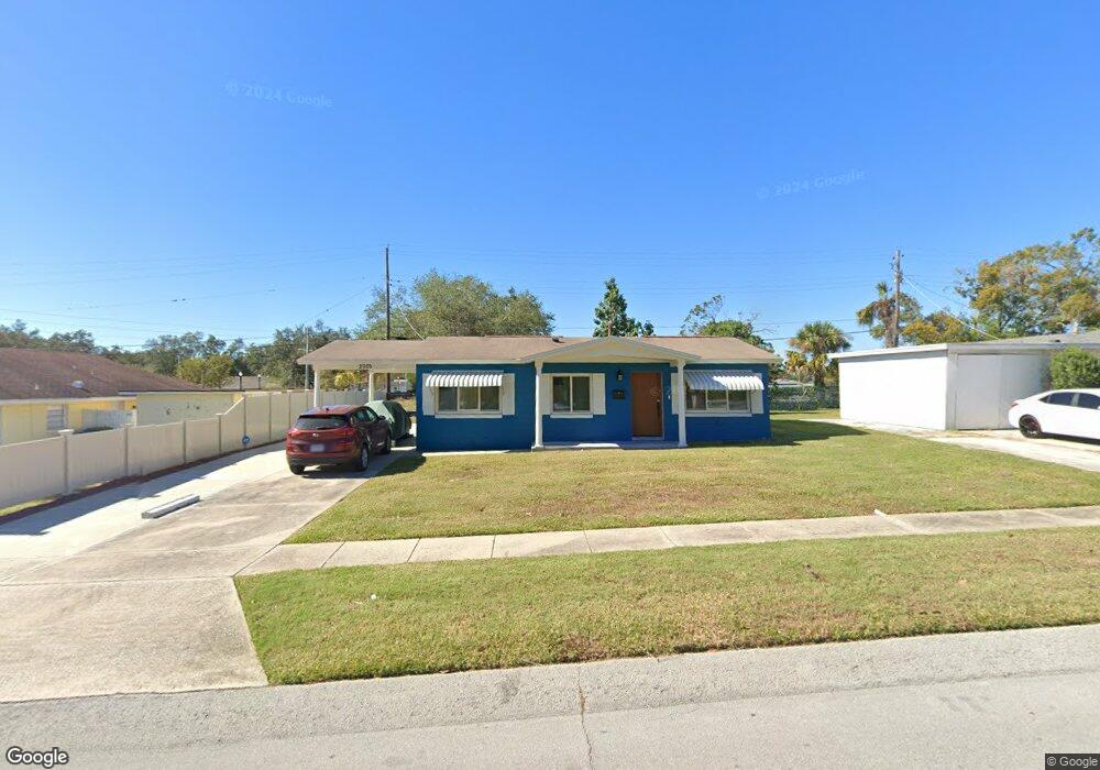
2005 9th St NE Winter Haven, FL 33881
North Winter Haven NeighborhoodEstimated Value: $185,000 - $211,000
3
Beds
2
Baths
1,300
Sq Ft
$152/Sq Ft
Est. Value
About This Home
This home is located at 2005 9th St NE, Winter Haven, FL 33881 and is currently estimated at $197,957, approximately $152 per square foot. 2005 9th St NE is a home located in Polk County with nearby schools including Jewett School of the Arts, Elbert Elementary School, and Frank E. Brigham Academy.
Ownership History
Date
Name
Owned For
Owner Type
Purchase Details
Closed on
Aug 6, 2024
Sold by
Edwards Yael M
Bought by
Edwards Yael M and Edwards Joshua Cross
Current Estimated Value
Purchase Details
Closed on
Aug 24, 2023
Sold by
Edwards Yael M
Bought by
Edwards Yael M
Purchase Details
Closed on
Jul 23, 2021
Sold by
Williams Leroy and Williams Clemmie T
Bought by
Williams Leroy and Williams Clemmie T
Purchase Details
Closed on
Jan 12, 1995
Sold by
Bennett Cleo
Bought by
Williams Clemmie Teresa
Create a Home Valuation Report for This Property
The Home Valuation Report is an in-depth analysis detailing your home's value as well as a comparison with similar homes in the area
Home Values in the Area
Average Home Value in this Area
Purchase History
| Date | Buyer | Sale Price | Title Company |
|---|---|---|---|
| Edwards Yael M | $100 | None Listed On Document | |
| Edwards Yael M | $100 | None Listed On Document | |
| Edwards Yael M | $100 | None Listed On Document | |
| Williams Leroy | -- | Accommodation | |
| Williams Clemmie Teresa | -- | -- |
Source: Public Records
Tax History
| Year | Tax Paid | Tax Assessment Tax Assessment Total Assessment is a certain percentage of the fair market value that is determined by local assessors to be the total taxable value of land and additions on the property. | Land | Improvement |
|---|---|---|---|---|
| 2025 | -- | $121,038 | $11,898 | $109,140 |
| 2024 | -- | $136,565 | $11,898 | $124,667 |
| 2023 | $0 | $146,540 | $11,558 | $134,982 |
| 2022 | $85 | $38,773 | $0 | $0 |
| 2021 | $82 | $37,644 | $0 | $0 |
| 2020 | $80 | $37,124 | $0 | $0 |
| 2018 | $74 | $35,612 | $0 | $0 |
| 2017 | $72 | $34,880 | $0 | $0 |
| 2016 | $69 | $34,163 | $0 | $0 |
Source: Public Records
Map
Nearby Homes
- 2011 9th St NE
- 2105 9th St NE
- 1911 Brown St NE
- 713 Sears Ave NE
- 644 Martin Luther King Blvd NE
- 611 Avenue South NE
- 228 Krenson Bay Loop
- 136 Krenson Bay Loop
- 239 Krenson Bay Loop
- 74 Misty Meadow Rd
- 548 Martin Luther King Blvd NE
- 601 Avenue U NE
- 2118 Edwin St NE
- 804 Ware Ave NE
- 41 Morningside Rd
- 28 Parkwood Rd
- 1550 11th St NE Unit D7
- 1550 11th St NE Unit F2
- 2436 Edwin St NE
- 1530 11th St NE
- 2001 9th St NE
- 2009 9th St NE
- 2006 9th St NE
- 2077 9th Ln NE
- 2008 9th St NE
- 2008 9th St NE
- 2010 9th St NE
- 912 Martin Luther King Blvd NE
- 903 Martin Luther King Blvd NE
- 903 Avenue T NE
- 818 Martin Luther King Blvd NE
- 2007 9th Ct NE
- 2101 9th St NE
- 912 Avenue T NE
- 903 Martin Luther King Blvd NE
- 818 Avenue T NE
- 914 Avenue T NE
- 816 Avenue T NE
- 2009 9th Ct NE
- 832 Avenue T NE