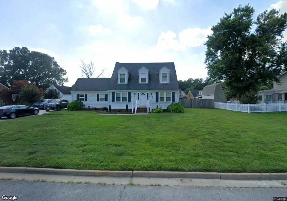
2005 Armada Dr Chesapeake, VA 23321
Western Branch NeighborhoodEstimated Value: $412,989 - $463,000
3
Beds
2
Baths
2,094
Sq Ft
$207/Sq Ft
Est. Value
About This Home
This home is located at 2005 Armada Dr, Chesapeake, VA 23321 and is currently estimated at $433,747, approximately $207 per square foot. 2005 Armada Dr is a home located in Chesapeake City with nearby schools including Edwin W. Chittum Elementary School, Jolliff Middle School, and Western Branch High School.
Ownership History
Date
Name
Owned For
Owner Type
Purchase Details
Closed on
Apr 3, 2025
Sold by
Koonce Jason Add
Bought by
Koonce Family Revocable Living Trust and Koonce
Current Estimated Value
Purchase Details
Closed on
May 1, 2009
Sold by
Koonce Cheryl Ann
Bought by
Koonce Jason A
Purchase Details
Closed on
Sep 30, 2003
Sold by
Parker Vicki
Bought by
Koonce Jason
Home Financials for this Owner
Home Financials are based on the most recent Mortgage that was taken out on this home.
Original Mortgage
$180,250
Interest Rate
6.29%
Mortgage Type
New Conventional
Create a Home Valuation Report for This Property
The Home Valuation Report is an in-depth analysis detailing your home's value as well as a comparison with similar homes in the area
Home Values in the Area
Average Home Value in this Area
Purchase History
| Date | Buyer | Sale Price | Title Company |
|---|---|---|---|
| Koonce Family Revocable Living Trust | -- | None Listed On Document | |
| Koonce Family Revocable Living Trust | -- | None Listed On Document | |
| Koonce Jason A | -- | -- | |
| Koonce Jason | $180,250 | -- |
Source: Public Records
Mortgage History
| Date | Status | Borrower | Loan Amount |
|---|---|---|---|
| Previous Owner | Koonce Jason | $180,250 |
Source: Public Records
Tax History
| Year | Tax Paid | Tax Assessment Tax Assessment Total Assessment is a certain percentage of the fair market value that is determined by local assessors to be the total taxable value of land and additions on the property. | Land | Improvement |
|---|---|---|---|---|
| 2025 | $3,797 | $373,900 | $165,000 | $208,900 |
| 2024 | $3,797 | $375,900 | $160,000 | $215,900 |
| 2023 | $3,579 | $354,400 | $140,000 | $214,400 |
| 2022 | $3,129 | $309,800 | $120,000 | $189,800 |
| 2021 | $2,801 | $266,800 | $90,000 | $176,800 |
| 2020 | $2,799 | $266,600 | $90,000 | $176,600 |
| 2019 | $2,892 | $275,400 | $90,000 | $185,400 |
| 2018 | $2,832 | $222,900 | $80,000 | $142,900 |
| 2017 | $2,573 | $245,000 | $95,000 | $150,000 |
| 2016 | $2,393 | $227,900 | $85,000 | $142,900 |
| 2015 | $2,340 | $222,900 | $80,000 | $142,900 |
| 2014 | $2,340 | $222,900 | $80,000 | $142,900 |
Source: Public Records
Map
Nearby Homes
- 2200 Christopher Dr
- 2133 Portsmouth Blvd
- 2156 Seastone Trace
- 4225 Coffman Blvd
- 4316 Hillingdon Bend Unit 304
- 4332 Farringdon Way
- MM Sorrento Rd
- 2644 Leytonstone Dr
- 2455 Leytonstone Dr Unit 63
- 2506 Leytonstone Dr
- 4100 Mystic Cove
- 4108 Santa Maria Dr
- 2801 Baldwin Dr
- 2521 Drum Creek Rd
- 2330 Alcott Way
- MM Bayberry
- MM the Grove (Laurel)
- MM Myrtle II
- 2636 Deerfield Crescent
- 1908 Rosemary Ln
- 2009 Armada Dr
- 2001 Armada Dr
- 2001 Armada Dr S
- 2008 Armada Dr
- 2004 Armada Dr S
- 2004 Armada Dr
- 4621 Leeward Dr
- 2000 Armada Dr
- 2000 Armada Dr S
- 2012 Armada Dr
- 4704 Leeward Ct
- 2013 Armada Dr
- 4700 Leeward Ct
- 4629 Leeward Dr
- 4612 Leeward Dr
- 2016 Armada Dr
- 4616 Leeward Dr
- 4605 Leeward Dr
- 4620 Leeward Dr
- 2017 Armada Dr
Your Personal Tour Guide
Ask me questions while you tour the home.