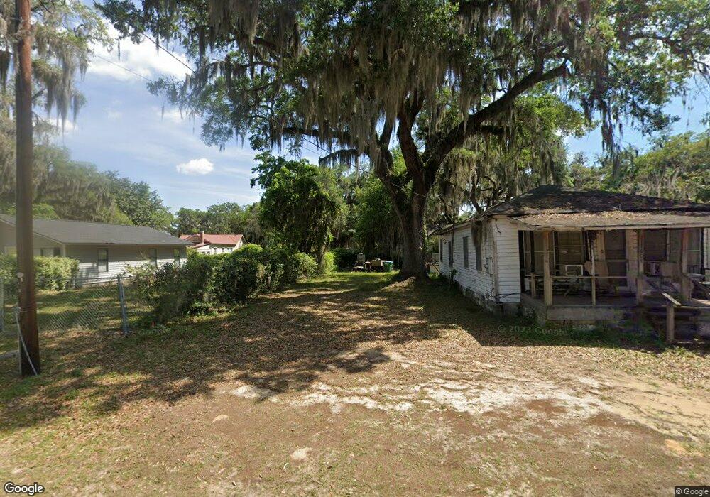
2005 Berkeley Cir Port Royal, SC 29935
Estimated Value: $255,000 - $687,000
1
Bed
3
Baths
820
Sq Ft
$565/Sq Ft
Est. Value
About This Home
This home is located at 2005 Berkeley Cir, Port Royal, SC 29935 and is currently estimated at $463,585, approximately $565 per square foot. 2005 Berkeley Cir is a home located in Beaufort County with nearby schools including Port Royal Elementary School, Beaufort Middle School, and Beaufort High School.
Ownership History
Date
Name
Owned For
Owner Type
Purchase Details
Closed on
Jul 20, 2012
Sold by
Berkeley Phillips B and Berkeley Harriett Y
Bought by
Graf Debra L
Current Estimated Value
Home Financials for this Owner
Home Financials are based on the most recent Mortgage that was taken out on this home.
Original Mortgage
$254,000
Outstanding Balance
$175,747
Interest Rate
3.72%
Mortgage Type
New Conventional
Estimated Equity
$287,838
Create a Home Valuation Report for This Property
The Home Valuation Report is an in-depth analysis detailing your home's value as well as a comparison with similar homes in the area
Home Values in the Area
Average Home Value in this Area
Purchase History
| Date | Buyer | Sale Price | Title Company |
|---|---|---|---|
| Graf Debra L | $254,000 | -- |
Source: Public Records
Mortgage History
| Date | Status | Borrower | Loan Amount |
|---|---|---|---|
| Open | Graf Debra L | $254,000 |
Source: Public Records
Tax History Compared to Growth
Tax History
| Year | Tax Paid | Tax Assessment Tax Assessment Total Assessment is a certain percentage of the fair market value that is determined by local assessors to be the total taxable value of land and additions on the property. | Land | Improvement |
|---|---|---|---|---|
| 2024 | $1,498 | $8,760 | $1,920 | $6,840 |
| 2023 | $1,498 | $8,760 | $1,920 | $6,840 |
| 2022 | $1,350 | $7,340 | $1,920 | $5,420 |
| 2021 | $1,350 | $7,340 | $1,920 | $5,420 |
| 2020 | $1,345 | $7,340 | $1,920 | $5,420 |
| 2019 | $1,320 | $7,340 | $1,920 | $5,420 |
| 2018 | $1,301 | $7,340 | $0 | $0 |
| 2017 | $1,235 | $6,920 | $0 | $0 |
| 2016 | $1,196 | $6,920 | $0 | $0 |
| 2014 | $1,313 | $6,920 | $0 | $0 |
Source: Public Records
Map
Nearby Homes
- 1910 Battery Park Dr
- 1731 Battery Park Dr
- 1730 Battery Park Dr
- 1806 Courtland St
- 1712 Battery Park Dr
- 1802 Lenora Dr Unit A
- 1606 Columbia Ave
- 2600 Smilax Ave
- 1704 Camellia Rd
- 1114 12th St
- 1108 12th St
- 1607 Battery Creek Rd
- 1711 Narcissus Ln
- 1210 Madrid Ave
- 1016 12th St
- 2525 Azalea Dr
- 1008C 12th St
- 1507 Battery Creek Rd
- 1021 12th St
- 120 Tamara Ln
- 205 Port Royal Test St
- 2005 Berkeley Cir
- 2019 Berkeley Cir
- 2001 Berkley Cir
- 2010 Berkeley Cir
- 2012 Berkeley Cir
- 2010 Berkeley Cir
- 2008 Berkeley Cir
- 2006 Berkeley Cir
- 2004 Berkeley Cir
- 2004 Berkley Cir
- 203 Island Pines Dr
- 704 Island Pines Dr
- 204 Island Pines Dr
- 401 Island Pines Dr
- 202 Island Pines Dr
- 202 Island Pines Dr
- 201 Island Pines Dr
- 2002 Berkeley Cir
- 404 Island Pines Dr