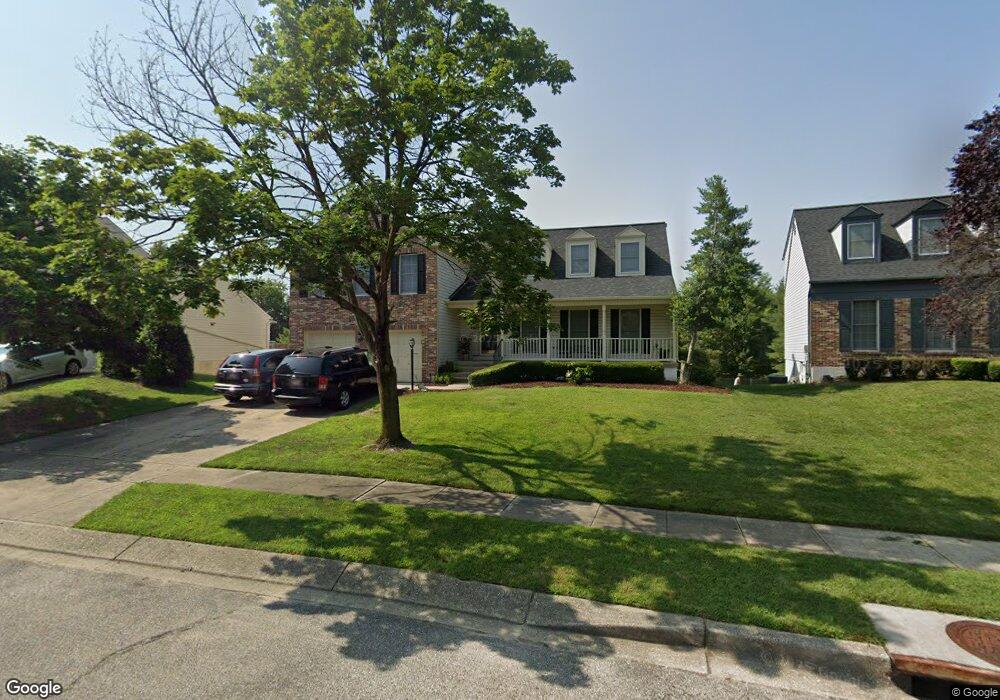
2005 Bunker Hill Ct Odenton, MD 21113
Estimated Value: $632,400 - $708,000
--
Bed
2
Baths
2,464
Sq Ft
$272/Sq Ft
Est. Value
About This Home
This home is located at 2005 Bunker Hill Ct, Odenton, MD 21113 and is currently estimated at $669,850, approximately $271 per square foot. 2005 Bunker Hill Ct is a home located in Anne Arundel County with nearby schools including Seven Oaks Elementary School, MacArthur Middle School, and Meade High School.
Ownership History
Date
Name
Owned For
Owner Type
Purchase Details
Closed on
May 1, 2007
Sold by
Lindsey Marie E
Bought by
Lindsey Monica
Current Estimated Value
Purchase Details
Closed on
Apr 23, 2007
Sold by
Lindsey Marie E
Bought by
Lindsey Monica
Purchase Details
Closed on
Oct 8, 1999
Sold by
Darass Gail E
Bought by
Lindsey Marie E and Poe Karen
Purchase Details
Closed on
Dec 5, 1996
Sold by
Prudential Residential
Bought by
Darass Gail E and Daras Kirby
Purchase Details
Closed on
Sep 27, 1996
Sold by
Underwood Jeffrey L
Bought by
Prudential Residential
Create a Home Valuation Report for This Property
The Home Valuation Report is an in-depth analysis detailing your home's value as well as a comparison with similar homes in the area
Home Values in the Area
Average Home Value in this Area
Purchase History
| Date | Buyer | Sale Price | Title Company |
|---|---|---|---|
| Lindsey Monica | -- | -- | |
| Lindsey Monica | -- | -- | |
| Lindsey Marie E | $219,900 | -- | |
| Darass Gail E | $205,000 | -- | |
| Prudential Residential | $224,750 | -- |
Source: Public Records
Mortgage History
| Date | Status | Borrower | Loan Amount |
|---|---|---|---|
| Closed | Darass Gail E | -- |
Source: Public Records
Tax History Compared to Growth
Tax History
| Year | Tax Paid | Tax Assessment Tax Assessment Total Assessment is a certain percentage of the fair market value that is determined by local assessors to be the total taxable value of land and additions on the property. | Land | Improvement |
|---|---|---|---|---|
| 2025 | $4,098 | $498,200 | $165,300 | $332,900 |
| 2024 | $4,098 | $467,767 | $0 | $0 |
| 2023 | $3,966 | $437,333 | $0 | $0 |
| 2022 | $3,688 | $406,900 | $144,100 | $262,800 |
| 2021 | $7,251 | $399,667 | $0 | $0 |
| 2020 | $3,523 | $392,433 | $0 | $0 |
| 2019 | $3,465 | $385,200 | $117,900 | $267,300 |
| 2018 | $3,804 | $375,133 | $0 | $0 |
| 2017 | $3,259 | $365,067 | $0 | $0 |
| 2016 | -- | $355,000 | $0 | $0 |
| 2015 | -- | $355,000 | $0 | $0 |
| 2014 | -- | $355,000 | $0 | $0 |
Source: Public Records
Map
Nearby Homes
- 2008 Bunker Hill Ct
- 106 Pinecove Ave
- 116 Langdon Farm Cir
- 2104 Commissary Cir
- 2139 Commissary Cir
- 178 Pinecove Ave
- 146 Langdon Farm Cir
- 224 Arcadia Shores Cir
- 322 Timberbrook Ct
- 2110 Commodore Ct
- 330 Timberbrook Ct
- 2242 Commissary Cir
- 1937 Artillery Ln
- 2240 Canteen Cir
- 319-F Eagles Landing Ct Unit 319F
- 1822 Dove Ct
- 302 Assembly Point Ct
- 313 3 Sirens Ct
- 1823 Graybird Ct
- 156 Goldsborough Dr
- 2003 Bunker Hill Ct
- 2007 Bunker Hill Ct
- 2001 Bunker Hill Ct
- 2009 Bunker Hill Ct
- 2002 Bunker Hill Ct
- 2004 Bunker Hill Ct
- 2000 Bunker Hill Ct
- 2011 Bunker Hill Ct
- 109 Bunker Hill Ln
- 2006 Bunker Hill Ct
- 110 Bunker Hill Ln
- 2010 Bunker Hill Ct
- 112 Bunker Hill Ln
- 68 Westridge Cir
- 66 Westridge Cir
- 2013 Bunker Hill Ct
- 2012 Bunker Hill Ct
- 70 Westridge Cir
- 2101 Brink Ct
- 64 Westridge Cir