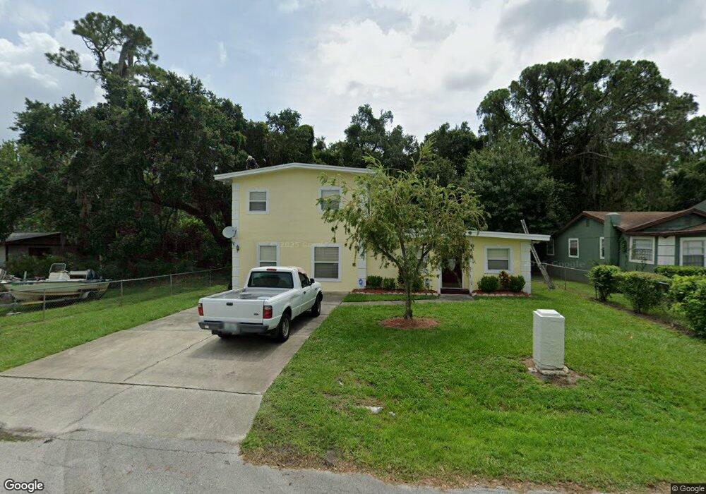
2005 Burrows Ln Sanford, FL 32771
Estimated Value: $230,000 - $312,000
3
Beds
2
Baths
2,112
Sq Ft
$132/Sq Ft
Est. Value
About This Home
This home is located at 2005 Burrows Ln, Sanford, FL 32771 and is currently estimated at $278,842, approximately $132 per square foot. 2005 Burrows Ln is a home located in Seminole County with nearby schools including Hamilton Elementary School, Midway Elementary School, and Pine Crest Elementary School.
Ownership History
Date
Name
Owned For
Owner Type
Purchase Details
Closed on
Jan 9, 2007
Sold by
Smith Stanly
Bought by
Smith Marloe F
Current Estimated Value
Home Financials for this Owner
Home Financials are based on the most recent Mortgage that was taken out on this home.
Original Mortgage
$30,000
Outstanding Balance
$17,858
Interest Rate
6.14%
Mortgage Type
Unknown
Estimated Equity
$260,984
Purchase Details
Closed on
Aug 1, 2005
Sold by
Smith Stanley
Bought by
Smith Marlowe F
Purchase Details
Closed on
May 1, 1980
Bought by
Smith Marloe F
Purchase Details
Closed on
Feb 1, 1979
Bought by
Smith Marloe F
Create a Home Valuation Report for This Property
The Home Valuation Report is an in-depth analysis detailing your home's value as well as a comparison with similar homes in the area
Home Values in the Area
Average Home Value in this Area
Purchase History
| Date | Buyer | Sale Price | Title Company |
|---|---|---|---|
| Smith Marloe F | -- | A&T Title Group Inc | |
| Smith Marlowe F | -- | -- | |
| Smith Marloe F | $13,900 | -- | |
| Smith Marloe F | $4,000 | -- |
Source: Public Records
Mortgage History
| Date | Status | Borrower | Loan Amount |
|---|---|---|---|
| Open | Smith Marloe F | $30,000 |
Source: Public Records
Tax History Compared to Growth
Tax History
| Year | Tax Paid | Tax Assessment Tax Assessment Total Assessment is a certain percentage of the fair market value that is determined by local assessors to be the total taxable value of land and additions on the property. | Land | Improvement |
|---|---|---|---|---|
| 2024 | $694 | $53,570 | -- | -- |
| 2023 | $689 | $52,010 | $0 | $0 |
| 2021 | $611 | $49,024 | $0 | $0 |
| 2020 | $595 | $48,347 | $0 | $0 |
| 2019 | $584 | $47,260 | $0 | $0 |
| 2018 | $566 | $46,379 | $0 | $0 |
| 2017 | $548 | $45,425 | $0 | $0 |
| 2016 | $546 | $44,802 | $0 | $0 |
| 2015 | $292 | $44,182 | $0 | $0 |
| 2014 | $292 | $43,831 | $0 | $0 |
Source: Public Records
Map
Nearby Homes
- 1771 Roseberry Ln
- 104 Hughes Ave
- 1815 S Summerlin Ave
- 2408 Decottes Ave
- 1496 Effra Way
- 1520 Effra Way
- Voyager Plan at Belair Place
- Discovery Plan at Belair Place
- Endeavor Plan at Belair Place
- Hawking Plan at Belair Place
- Beacon Plan at Belair Place
- Glimmer Plan at Belair Place
- Polaris Plan at Belair Place
- Equinox Plan at Belair Place
- Larissa Plan at Belair Place
- 366 Fairfield Dr
- 1218 Crescent St
- 372 Fairfield Dr
- 1401 Forest Dr
- 1373 Dalkeith Cove