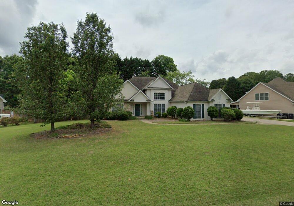
2005 Cambridge Dr Unit 2 Woodstock, GA 30188
Estimated Value: $399,617 - $408,000
3
Beds
2
Baths
1,890
Sq Ft
$214/Sq Ft
Est. Value
About This Home
This home is located at 2005 Cambridge Dr Unit 2, Woodstock, GA 30188 and is currently estimated at $403,809, approximately $213 per square foot. 2005 Cambridge Dr Unit 2 is a home located in Cherokee County with nearby schools including Little River Elementary, Mill Creek Middle School, and River Ridge High School.
Ownership History
Date
Name
Owned For
Owner Type
Purchase Details
Closed on
Jan 30, 1998
Sold by
Barrington Homes Inc
Bought by
Henager John L and Henager Donna Lee
Current Estimated Value
Home Financials for this Owner
Home Financials are based on the most recent Mortgage that was taken out on this home.
Original Mortgage
$134,800
Outstanding Balance
$22,364
Interest Rate
7.01%
Mortgage Type
New Conventional
Estimated Equity
$381,445
Create a Home Valuation Report for This Property
The Home Valuation Report is an in-depth analysis detailing your home's value as well as a comparison with similar homes in the area
Home Values in the Area
Average Home Value in this Area
Purchase History
| Date | Buyer | Sale Price | Title Company |
|---|---|---|---|
| Henager John L | $141,900 | -- |
Source: Public Records
Mortgage History
| Date | Status | Borrower | Loan Amount |
|---|---|---|---|
| Open | Henager John L | $134,800 |
Source: Public Records
Tax History Compared to Growth
Tax History
| Year | Tax Paid | Tax Assessment Tax Assessment Total Assessment is a certain percentage of the fair market value that is determined by local assessors to be the total taxable value of land and additions on the property. | Land | Improvement |
|---|---|---|---|---|
| 2025 | $3,558 | $154,844 | $32,800 | $122,044 |
| 2024 | $3,503 | $153,172 | $32,800 | $120,372 |
| 2023 | $3,595 | $155,536 | $32,800 | $122,736 |
| 2022 | $3,045 | $129,664 | $30,000 | $99,664 |
| 2021 | $2,842 | $109,920 | $24,000 | $85,920 |
| 2020 | $2,500 | $95,080 | $18,400 | $76,680 |
| 2019 | $2,263 | $84,840 | $18,400 | $66,440 |
| 2018 | $2,249 | $83,800 | $18,400 | $65,400 |
| 2017 | $2,212 | $203,800 | $18,400 | $63,120 |
| 2016 | $2,144 | $194,400 | $18,400 | $59,360 |
| 2015 | $1,998 | $176,700 | $16,800 | $53,880 |
| 2014 | $1,867 | $164,200 | $16,800 | $48,880 |
Source: Public Records
Map
Nearby Homes
- 156 W Oaks Place
- 1877 Falcon Wood Dr NE
- 4941 Willow Ln
- 226 Hames Rd Unit 405
- 226 Hames Rd Unit 225
- 5009 Kingsley Manor Ct
- 4924 Locklear Way
- 205 Leland Way
- 4813 Highpoint Dr NE
- 5100 Ravenwood Dr
- 205 Trickum Hills Ln
- 11511 Highway 92
- 4799 North Trail
- 134 Sierra Cir
- 2899 Treeside Terrace
- 4797 North Trail
- 2007 Cambridge Dr
- 2003 Cambridge Dr
- 1014 Cambridge Ct Unit 1
- 2009 Cambridge Dr Unit 2
- 2006 Cambridge Dr
- 1012 Cambridge Ct Unit 1
- 103 Cornwall Ct
- 2004 Cambridge Dr Unit 1
- 2001 Cambridge Dr
- 1010 Cambridge Ct
- 100 Cornwall Ct
- 1016 Cambridge Ct
- 2002 Cambridge Dr Unit 1
- 2012 Cambridge Dr Unit II
- 2011 Cambridge Dr
- 2000 Cambridge Dr Unit 1
- 0 Cambridge Ct Unit 7147924
- 0 Cambridge Ct Unit 7013152
- 0 Cambridge Ct Unit 8834686
- 0 Cambridge Ct