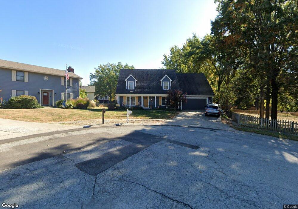
2005 Clay Cir Liberty, MO 64068
Estimated Value: $356,000 - $388,000
3
Beds
5
Baths
2,016
Sq Ft
$187/Sq Ft
Est. Value
About This Home
This home is located at 2005 Clay Cir, Liberty, MO 64068 and is currently estimated at $376,327, approximately $186 per square foot. 2005 Clay Cir is a home located in Clay County with nearby schools including Alexander Doniphan Elementary School, Discovery Middle School, and Liberty High School.
Ownership History
Date
Name
Owned For
Owner Type
Purchase Details
Closed on
Jun 26, 2024
Sold by
Seaboyer Mary L and Wilson David A
Bought by
Seaboyer Mary L and Sterling James Scott
Current Estimated Value
Purchase Details
Closed on
Jul 24, 2007
Sold by
Seaboyer Mary L and Sterling Mary L
Bought by
Seaboyer Mary L
Home Financials for this Owner
Home Financials are based on the most recent Mortgage that was taken out on this home.
Original Mortgage
$150,000
Interest Rate
6.69%
Mortgage Type
Purchase Money Mortgage
Purchase Details
Closed on
Jul 12, 2007
Sold by
Sterling James
Bought by
Seaboyer Mary L
Home Financials for this Owner
Home Financials are based on the most recent Mortgage that was taken out on this home.
Original Mortgage
$150,000
Interest Rate
6.69%
Mortgage Type
Purchase Money Mortgage
Purchase Details
Closed on
Oct 7, 1998
Sold by
Sterling James S
Bought by
Seaboyer Mary L and Sterling Mary L
Create a Home Valuation Report for This Property
The Home Valuation Report is an in-depth analysis detailing your home's value as well as a comparison with similar homes in the area
Home Values in the Area
Average Home Value in this Area
Purchase History
| Date | Buyer | Sale Price | Title Company |
|---|---|---|---|
| Seaboyer Mary L | -- | None Listed On Document | |
| Seaboyer Mary L | -- | Accommodation | |
| Seaboyer Mary L | -- | Accommodation | |
| Seaboyer Mary L | -- | -- |
Source: Public Records
Mortgage History
| Date | Status | Borrower | Loan Amount |
|---|---|---|---|
| Previous Owner | Seaboyer Mary L | $150,000 | |
| Previous Owner | Seaboyer Mary L | $150,000 |
Source: Public Records
Tax History Compared to Growth
Tax History
| Year | Tax Paid | Tax Assessment Tax Assessment Total Assessment is a certain percentage of the fair market value that is determined by local assessors to be the total taxable value of land and additions on the property. | Land | Improvement |
|---|---|---|---|---|
| 2025 | $3,811 | $56,810 | -- | -- |
| 2024 | $3,811 | $49,550 | -- | -- |
| 2023 | $3,876 | $49,550 | $0 | $0 |
| 2022 | $3,582 | $45,220 | $0 | $0 |
| 2021 | $3,554 | $45,220 | $7,220 | $38,000 |
| 2020 | $3,338 | $39,880 | $0 | $0 |
| 2019 | $3,337 | $39,881 | $6,840 | $33,041 |
| 2018 | $3,003 | $35,230 | $0 | $0 |
| 2017 | $2,793 | $35,230 | $4,180 | $31,050 |
| 2016 | $2,793 | $33,080 | $4,750 | $28,330 |
| 2015 | $2,794 | $33,080 | $4,750 | $28,330 |
| 2014 | $2,816 | $33,080 | $4,750 | $28,330 |
Source: Public Records
Map
Nearby Homes
- 1507 Amesbury Ave
- 509 Belmont St
- 1733 Welleslay Ln
- 1323 Amesbury Ave
- 420 Belmont St
- 415 Monterey Ave
- 1537 Canterbury Ln
- 1124 Amesbury Ave
- 1218 Canterbury Ln
- 2116 Winding Woods Dr
- Lot 2 Bent Oaks Dr
- Lot 2A Oak Crest Dr
- 918 Amesbury Ave
- 862 Amesbury Ave
- 1327 Easton Ct
- 1304 Wellington Way
- 11852 N Kentucky Ave
- 1331 Park Ln
- 716 Bristol Ct
- 1205 Blackberry Dr
- 2027 Clay Dr
- 1714 Bluebell Ave
- 1708 Bluebell Ave
- 2001 Clay Cir
- 2033 Clay Dr
- 1720 Bluebell Ave
- 2000 Clay Cir
- 1702 Bluebell Ave
- 1726 Bluebell Ave
- 2021 Clay Dr
- 2037 Clay Dr
- 2032 Clay Dr
- 1713 Bluebell Ave
- 2028 Clay Dr
- 2036 Clay Dr
- 1937 Larkspur Dr
- 1943 Larkspur Dr
- 1730 Bluebell Ave
- 1719 Bluebell Ave
- 1707 Bluebell Ave