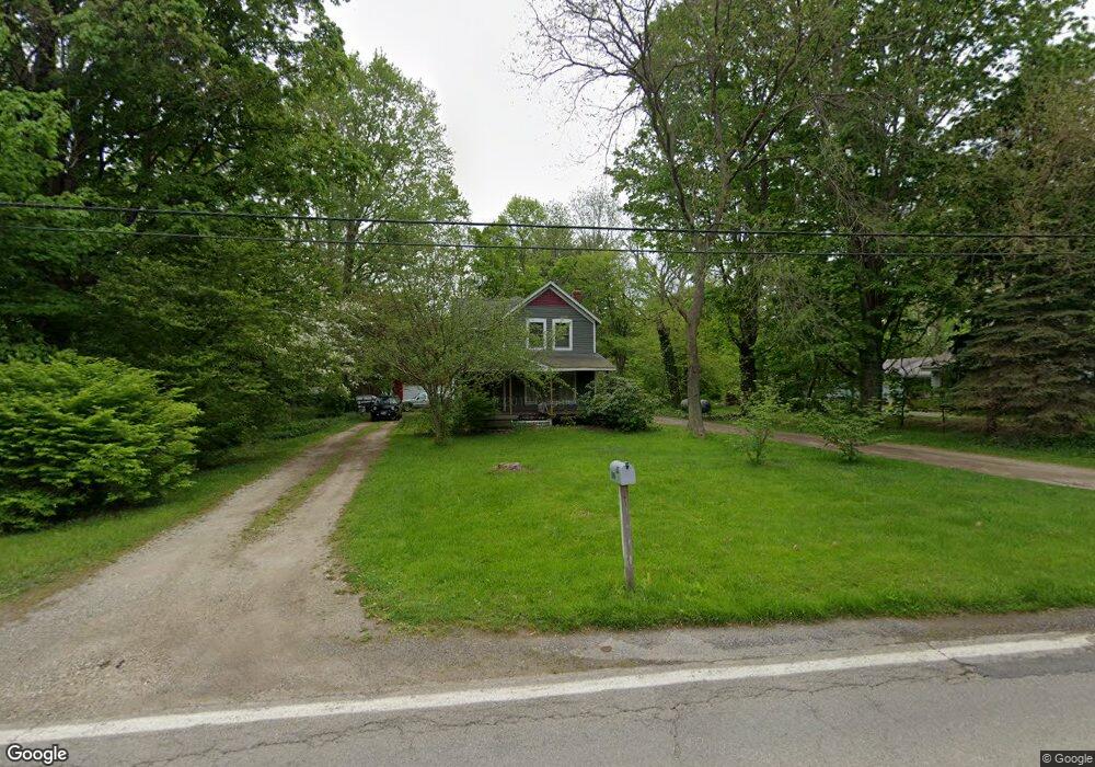
2005 Dock Rd Madison, OH 44057
Estimated Value: $146,000 - $216,000
3
Beds
2
Baths
953
Sq Ft
$207/Sq Ft
Est. Value
About This Home
This home is located at 2005 Dock Rd, Madison, OH 44057 and is currently estimated at $197,211, approximately $206 per square foot. 2005 Dock Rd is a home located in Lake County with nearby schools including South Elementary School, Madison Middle School, and Madison High School.
Ownership History
Date
Name
Owned For
Owner Type
Purchase Details
Closed on
Aug 12, 1999
Sold by
Ohio Svgs Bank
Bought by
Gluvna John E and Gluvna Darla R
Current Estimated Value
Home Financials for this Owner
Home Financials are based on the most recent Mortgage that was taken out on this home.
Original Mortgage
$19,000
Outstanding Balance
$5,207
Interest Rate
7.77%
Mortgage Type
Credit Line Revolving
Estimated Equity
$192,004
Purchase Details
Closed on
May 6, 1999
Sold by
Rivera Wilma Jean and Case #97Cv001131
Bought by
Ohio Svgs Bank
Purchase Details
Closed on
Aug 1, 1990
Bought by
Rivera Felix
Create a Home Valuation Report for This Property
The Home Valuation Report is an in-depth analysis detailing your home's value as well as a comparison with similar homes in the area
Home Values in the Area
Average Home Value in this Area
Purchase History
| Date | Buyer | Sale Price | Title Company |
|---|---|---|---|
| Gluvna John E | $53,000 | Executive Title Agency Corp | |
| Ohio Svgs Bank | $50,000 | U S Title Agency Inc | |
| Rivera Felix | $65,900 | -- |
Source: Public Records
Mortgage History
| Date | Status | Borrower | Loan Amount |
|---|---|---|---|
| Open | Gluvna John E | $19,000 |
Source: Public Records
Tax History
| Year | Tax Paid | Tax Assessment Tax Assessment Total Assessment is a certain percentage of the fair market value that is determined by local assessors to be the total taxable value of land and additions on the property. | Land | Improvement |
|---|---|---|---|---|
| 2025 | -- | $59,300 | $17,960 | $41,340 |
| 2024 | -- | $59,300 | $17,960 | $41,340 |
| 2023 | $2,647 | $52,240 | $15,560 | $36,680 |
| 2022 | $3,214 | $52,240 | $15,560 | $36,680 |
| 2021 | $3,219 | $52,240 | $15,560 | $36,680 |
| 2020 | $3,144 | $45,030 | $13,410 | $31,620 |
| 2019 | $3,146 | $45,030 | $13,410 | $31,620 |
| 2018 | $3,042 | $44,970 | $13,620 | $31,350 |
| 2017 | $3,130 | $44,970 | $13,620 | $31,350 |
| 2016 | $2,841 | $44,970 | $13,620 | $31,350 |
| 2015 | $2,702 | $44,970 | $13,620 | $31,350 |
| 2014 | $2,763 | $44,970 | $13,620 | $31,350 |
| 2013 | $2,769 | $44,970 | $13,620 | $31,350 |
Source: Public Records
Map
Nearby Homes
- 1478 Bennett Rd
- 20 Eddie Rd
- 50 Eddie Rd
- 32 Eddy Rd
- 6835 Shelly Dr
- 153 Marilyn Dr
- 1403 Dorchester Dr
- 7561 Lake Rd
- 1180 N County Line Rd
- 1180 Hearn Dr
- 6728 Bayside Dr Unit 21
- 6535 N Ridge Rd W
- 7084 Lake Rd E
- V/L 20 Norton Dr
- V/L 11 Norton Dr
- V/L 21 Norton Dr
- V/L 10 Norton Dr
- 1073 Ashview Dr
- 4165 Wheeler Creek Rd
- 1555 Easton Ave
Your Personal Tour Guide
Ask me questions while you tour the home.