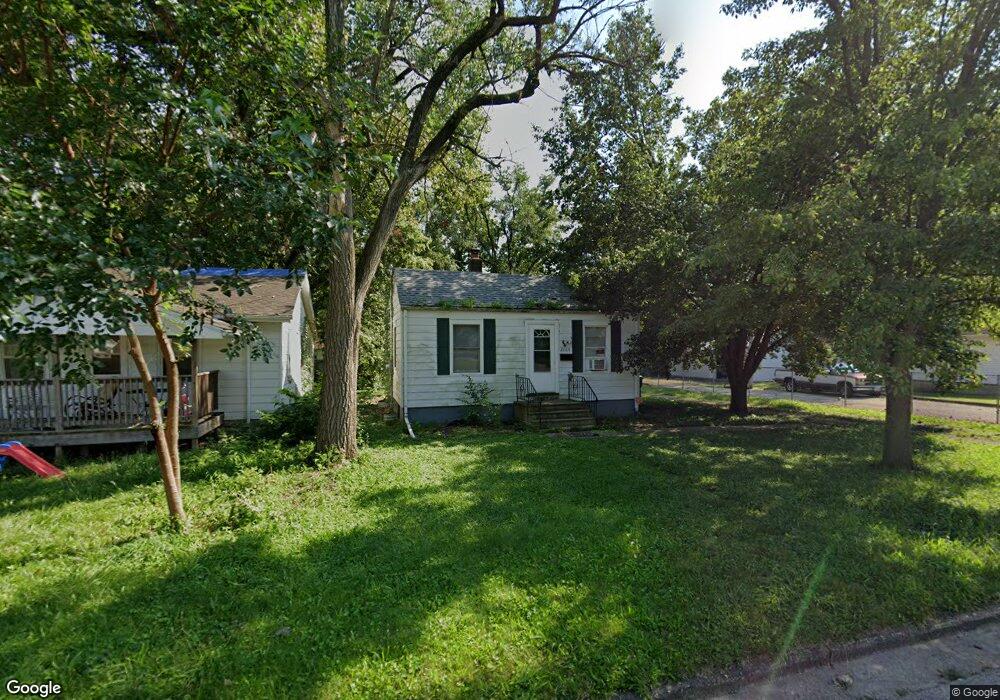
2005 E Lawrence St Decatur, IL 62521
Lions Park NeighborhoodEstimated Value: $44,000 - $69,000
Studio
--
Bath
--
Sq Ft
7,797
Sq Ft
About This Home
This home is located at 2005 E Lawrence St, Decatur, IL 62521 and is currently estimated at $51,367. 2005 E Lawrence St is a home located in Macon County with nearby schools including Muffley Elementary School, Stephen Decatur Middle School, and Robertson Charter School.
Ownership History
Date
Name
Owned For
Owner Type
Purchase Details
Closed on
Sep 13, 2021
Sold by
Paririe State Bank And Trust and Bank Prairie State
Bought by
Russell John E
Current Estimated Value
Purchase Details
Closed on
Feb 9, 2016
Sold by
Walters Ellen C and Varick Teresa A
Bought by
Prairie State Bank And Trust
Purchase Details
Closed on
Feb 8, 2016
Sold by
Walters Ellen C and Boulware Lori K
Bought by
Prairie State Bank And Trust
Create a Home Valuation Report for This Property
The Home Valuation Report is an in-depth analysis detailing your home's value as well as a comparison with similar homes in the area
Home Values in the Area
Average Home Value in this Area
Purchase History
| Date | Buyer | Sale Price | Title Company |
|---|---|---|---|
| Russell John E | -- | None Listed On Document | |
| Prairie State Bank And Trust | -- | Attorney | |
| Prairie State Bank And Trust | -- | Attorney |
Source: Public Records
Tax History
| Year | Tax Paid | Tax Assessment Tax Assessment Total Assessment is a certain percentage of the fair market value that is determined by local assessors to be the total taxable value of land and additions on the property. | Land | Improvement |
|---|---|---|---|---|
| 2024 | $713 | $7,362 | $2,450 | $4,912 |
| 2023 | $707 | $7,101 | $2,363 | $4,738 |
| 2022 | $663 | $6,484 | $2,186 | $4,298 |
| 2021 | $623 | $6,056 | $2,042 | $4,014 |
| 2020 | $614 | $5,776 | $1,948 | $3,828 |
| 2019 | $614 | $5,776 | $1,948 | $3,828 |
| 2018 | $479 | $4,558 | $1,628 | $2,930 |
| 2017 | $490 | $4,679 | $1,671 | $3,008 |
| 2016 | $499 | $4,727 | $1,688 | $3,039 |
| 2015 | $475 | $4,643 | $1,658 | $2,985 |
| 2014 | $441 | $4,597 | $1,642 | $2,955 |
| 2013 | $455 | $4,770 | $1,704 | $3,066 |
Source: Public Records
Map
Nearby Homes
- 2039 E Whitmer St
- 2104 E Whitmer St
- 2152 E Decatur St
- 632 S 17th St
- 1722 E Johns Ave
- 2150 E Clay St
- 1872 Shady Crest St
- 2353 E Hendrix St
- 1136 S 21st St
- 1135 S 21st St
- 1901 Indiana Ct
- 1202 Florida Ave
- 1422 Sedgwick St
- 1484 E Clay St
- 2360 E Wood St
- 855 S Stone St
- 111 S 24th+520 E Division+870 N Union St
- 203 S 25th St
- 2440 E Wood St
- 1221 E Main St
- 2015* E Lawrence St
- 2015 E Lawrence St
- 1975 E Lawrence St
- 2014 E Whitmer St
- 2024 E Whitmer St
- 2025 E Lawrence St
- 2004 E Whitmer St
- 2034 E Whitmer St
- 1973 E Lawrence St
- 2035 E Lawrence St
- 2045* E Lawrence St
- 2044 E Whitmer St
- 2045 E Lawrence St
- 1970 E Lawrence St
- 2054 E Whitmer St
- 2065 E Lawrence St
- 2064 E Whitmer St
- 2019 E Whitmer St
- 2029 E Whitmer St
- 2009 E Whitmer St
Your Personal Tour Guide
Ask me questions while you tour the home.