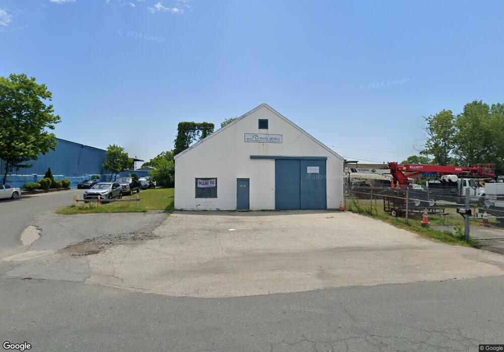
2005 Graves Ct Dundalk, MD 21222
Estimated Value: $314,200
--
Bed
--
Bath
2,400
Sq Ft
$131/Sq Ft
Est. Value
About This Home
This home is located at 2005 Graves Ct, Dundalk, MD 21222 and is currently estimated at $314,200, approximately $130 per square foot. 2005 Graves Ct is a home located in Baltimore County with nearby schools including Grange Elementary School, General John Stricker Middle School, and Patapsco High & Center for Arts.
Ownership History
Date
Name
Owned For
Owner Type
Purchase Details
Closed on
Aug 17, 2018
Sold by
Gephardt Rhonda and Estate Of Clayton Vernon Russe
Bought by
Gephardt Rhonda
Current Estimated Value
Purchase Details
Closed on
Jun 4, 2004
Sold by
Russell Frances D
Bought by
Russell Clayton Vernon
Purchase Details
Closed on
Jun 3, 2004
Sold by
Russell Frances D
Bought by
Russell Clayton Vernon
Purchase Details
Closed on
Nov 1, 1996
Sold by
Hruz Rudolph M
Bought by
Russell Frances D
Create a Home Valuation Report for This Property
The Home Valuation Report is an in-depth analysis detailing your home's value as well as a comparison with similar homes in the area
Home Values in the Area
Average Home Value in this Area
Purchase History
| Date | Buyer | Sale Price | Title Company |
|---|---|---|---|
| Gephardt Rhonda | -- | None Available | |
| Russell Clayton Vernon | -- | -- | |
| Russell Clayton Vernon | -- | -- | |
| Russell Frances D | $80,000 | -- |
Source: Public Records
Tax History Compared to Growth
Tax History
| Year | Tax Paid | Tax Assessment Tax Assessment Total Assessment is a certain percentage of the fair market value that is determined by local assessors to be the total taxable value of land and additions on the property. | Land | Improvement |
|---|---|---|---|---|
| 2025 | $1,743 | $103,867 | -- | -- |
| 2024 | $1,743 | $103,200 | $64,400 | $38,800 |
| 2023 | $844 | $99,833 | $0 | $0 |
| 2022 | $1,617 | $96,467 | $0 | $0 |
| 2021 | $779 | $93,100 | $45,100 | $48,000 |
| 2020 | $1,538 | $92,733 | $0 | $0 |
| 2019 | $1,119 | $92,367 | $0 | $0 |
| 2018 | $1,473 | $92,000 | $45,100 | $46,900 |
| 2017 | $1,938 | $90,633 | $0 | $0 |
| 2016 | $1,808 | $89,267 | $0 | $0 |
| 2015 | $1,808 | $87,900 | $0 | $0 |
| 2014 | $1,808 | $87,767 | $0 | $0 |
Source: Public Records
Map
Nearby Homes
- 8203 Seaworthy Way
- 8109 Secluded Cove Ln
- 9 Vista Mobile Dr
- 25 Vista Mobile Dr
- 8426 Stansbury Lake Dr
- 1940 Holborn Rd
- 2007 Dineen Dr
- 2743 Kirkleigh Rd
- 1614 Lynch Rd
- 7821 Rockbourne Rd
- 7815 Rockbourne Rd
- 2338 Searles Rd
- 1940 Wareham Rd
- 2754 Moorgate Rd
- 1927 Codd Ave
- 1964 Guy Way
- 2746 Moorgate Rd
- 1915 Codd Ave
- 1924 Ewald Ave
- 2738 Moorgate Rd
- 8000 Stansbury Rd
- 1936 Rettman Ln
- 7920 Stansbury Rd
- 1928 Rettman Ln
- 8015 Flood Rd
- 7910 Stansbury Rd
- 1937 Rettman Ln
- 8004 Stansbury Rd
- 1933 Rettman Ln
- 1914 Rettman Ln
- 1936 Graves Ct
- 7908 Stansbury Rd
- 1929 Rettman Ln
- 8011 Stansbury Rd
- 1912 Rettman Ln
- 1925 Rettman Ln
- 1910 Rettman Ln
- 8019 Flood Rd
- 1921 Rettman Ln
- 8201 Seaworthy Way
