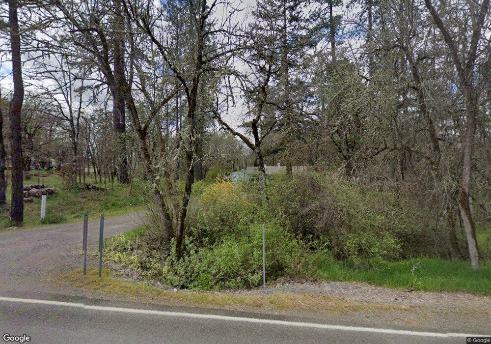
2005 Hamilton Ln Grants Pass, OR 97527
Estimated Value: $353,192 - $432,000
1
Bed
--
Bath
2,064
Sq Ft
$190/Sq Ft
Est. Value
About This Home
This home is located at 2005 Hamilton Ln, Grants Pass, OR 97527 and is currently estimated at $392,596, approximately $190 per square foot. 2005 Hamilton Ln is a home with nearby schools including Fruitdale Elementary School, Lincoln Savage Middle School, and Hidden Valley High School.
Ownership History
Date
Name
Owned For
Owner Type
Purchase Details
Closed on
Apr 1, 2009
Sold by
Hancock Clarence D and Hancock Vickie D
Bought by
Hancock Clarence D and Hancock Vickie D
Current Estimated Value
Purchase Details
Closed on
May 16, 2005
Sold by
Vetkos Jimmie D and Weiand Cynthia Lee
Bought by
Hancock Clarence D and Hancock Vickie D
Home Financials for this Owner
Home Financials are based on the most recent Mortgage that was taken out on this home.
Original Mortgage
$200,000
Interest Rate
5.87%
Mortgage Type
Balloon
Create a Home Valuation Report for This Property
The Home Valuation Report is an in-depth analysis detailing your home's value as well as a comparison with similar homes in the area
Home Values in the Area
Average Home Value in this Area
Purchase History
| Date | Buyer | Sale Price | Title Company |
|---|---|---|---|
| Hancock Clarence D | -- | None Available | |
| Hancock Clarence D | $269,900 | First American |
Source: Public Records
Mortgage History
| Date | Status | Borrower | Loan Amount |
|---|---|---|---|
| Closed | Hancock Clarence D | $200,000 |
Source: Public Records
Tax History Compared to Growth
Tax History
| Year | Tax Paid | Tax Assessment Tax Assessment Total Assessment is a certain percentage of the fair market value that is determined by local assessors to be the total taxable value of land and additions on the property. | Land | Improvement |
|---|---|---|---|---|
| 2025 | $1,504 | $204,130 | -- | -- |
| 2024 | $1,504 | $198,190 | -- | -- |
| 2023 | $1,234 | $192,420 | $0 | $0 |
| 2022 | $1,246 | $186,820 | -- | -- |
| 2021 | $1,169 | $181,380 | $0 | $0 |
| 2020 | $1,218 | $176,100 | $0 | $0 |
| 2019 | $1,171 | $170,980 | $0 | $0 |
| 2018 | $1,187 | $166,000 | $0 | $0 |
| 2017 | $1,187 | $161,170 | $0 | $0 |
| 2016 | $1,011 | $156,480 | $0 | $0 |
| 2015 | $977 | $151,930 | $0 | $0 |
| 2014 | $953 | $147,510 | $0 | $0 |
Source: Public Records
Map
Nearby Homes
- 1974 Hamilton Ln
- 1980 Keldan Ln
- 390 Trollview Rd
- 1665 Fruitdale Dr
- 1022 SE Jerrine St
- 1553 Panoramic Loop
- 1636 Panoramic Loop Unit 212
- 1636 Panoramic Loop
- 1620 Panoramic Loop
- 1620 Panoramic Loop Unit 211
- 1781 SE Brookhurst Way
- 1721 Brookhurst Way
- 1419 Fruitdale Dr
- 1407 Fruitdale Dr Unit 10
- 1407 Fruitdale Dr Unit 12
- 1407 Fruitdale Dr Unit 2
- 1407 Fruitdale Dr Unit 4
- 1407 Fruitdale Dr Unit 3
- 1407 Fruitdale Dr Unit 6
- 1407 Fruitdale Dr Unit 11
- 249 Smokey Ln
- 2000 Hamilton Ln
- 1995 Hamilton Ln
- 2001 Hamilton Ln
- 1998 Hamilton Ln
- 255 Smokey Ln
- 0 Smokey Ln Tl 2401 Unit 152809597
- 0 Smokey Ln Tl 2401 Unit 102943994
- 201 Smokey Ln
- 195 Smokey Ln
- 241 Smokey Ln
- 189 Smokey Ln
- 1999 Hamilton Ln
- 265 Smokey Ln
- 101 Smokey Ln
- 167 Smokey Ln
- 291 Smokey Ln
- 02409 Smokey Ln
- 0 Smokey Ln
- 2111 Hamilton Ln