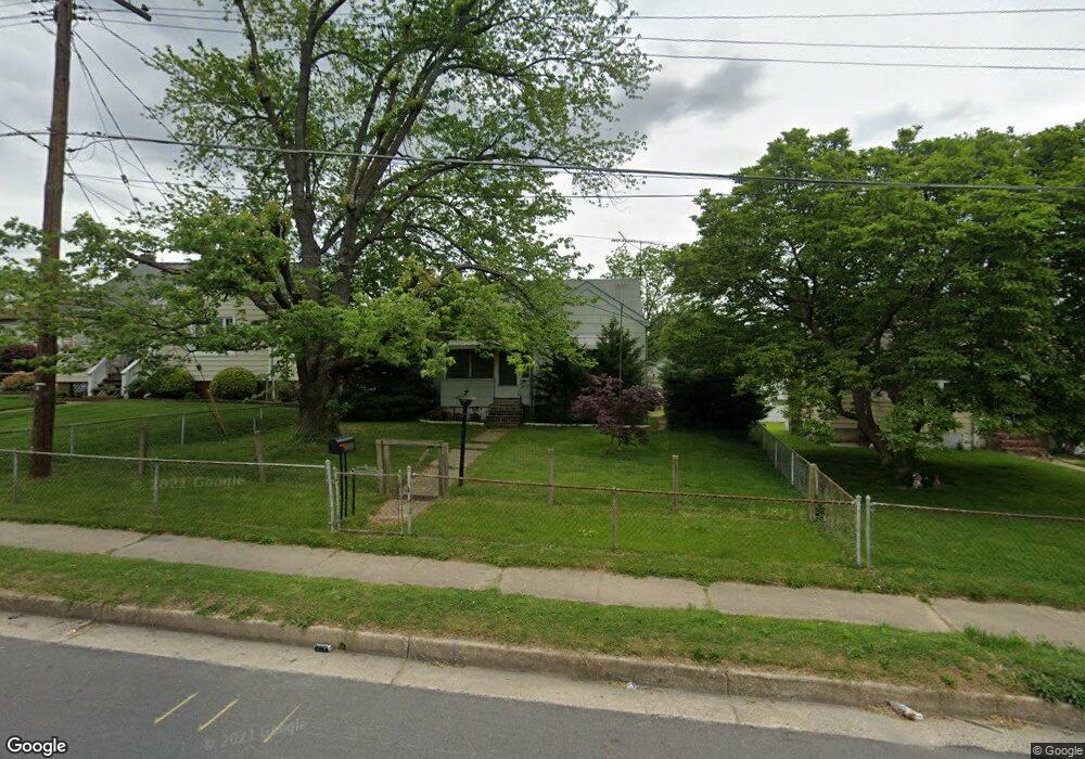
2005 Hammonds Ferry Rd Halethorpe, MD 21227
Estimated Value: $223,000 - $291,429
Studio
1
Bath
1,068
Sq Ft
$237/Sq Ft
Est. Value
About This Home
This home is located at 2005 Hammonds Ferry Rd, Halethorpe, MD 21227 and is currently estimated at $253,607, approximately $237 per square foot. 2005 Hammonds Ferry Rd is a home located in Baltimore County with nearby schools including Lansdowne Elementary School, Lansdowne Middle School, and Lansdowne High School.
Ownership History
Date
Name
Owned For
Owner Type
Purchase Details
Closed on
May 23, 2005
Sold by
Thomas John E
Bought by
Jeffries Christopher W
Current Estimated Value
Purchase Details
Closed on
May 7, 2002
Sold by
Record Realty Investments Corp
Bought by
Thomas John E and Thomas Audrey J
Purchase Details
Closed on
Jan 12, 2001
Sold by
Jacobsen Kathryn Laura
Bought by
Record Realty Investments Corp
Purchase Details
Closed on
Sep 17, 1999
Sold by
Crigger Robert P
Bought by
Jacobsen Kathryn Laura and Crigger Robert P
Create a Home Valuation Report for This Property
The Home Valuation Report is an in-depth analysis detailing your home's value as well as a comparison with similar homes in the area
Home Values in the Area
Average Home Value in this Area
Purchase History
| Date | Buyer | Sale Price | Title Company |
|---|---|---|---|
| Jeffries Christopher W | $164,000 | -- | |
| Thomas John E | $127,000 | -- | |
| Record Realty Investments Corp | $60,000 | -- | |
| Jacobsen Kathryn Laura | -- | -- |
Source: Public Records
Tax History
| Year | Tax Paid | Tax Assessment Tax Assessment Total Assessment is a certain percentage of the fair market value that is determined by local assessors to be the total taxable value of land and additions on the property. | Land | Improvement |
|---|---|---|---|---|
| 2025 | $3,000 | $217,700 | -- | -- |
| 2024 | $3,000 | $207,100 | $53,600 | $153,500 |
| 2023 | $1,422 | $194,967 | $0 | $0 |
| 2022 | $2,640 | $182,833 | $0 | $0 |
| 2021 | $2,438 | $170,700 | $53,600 | $117,100 |
| 2020 | $2,438 | $167,767 | $0 | $0 |
| 2019 | $2,424 | $164,833 | $0 | $0 |
| 2018 | $2,529 | $161,900 | $53,600 | $108,300 |
| 2017 | $2,357 | $157,333 | $0 | $0 |
| 2016 | $2,056 | $152,767 | $0 | $0 |
| 2015 | $2,056 | $148,200 | $0 | $0 |
| 2014 | $2,056 | $148,200 | $0 | $0 |
Source: Public Records
Map
Nearby Homes
- 1722 Hall Ave
- 211 Green Fern Way
- 104 Ridge Ave
- 1613 S Ellamont St
- 1920 Maudlin Ave
- 3207 Janice Ave
- 238 Elizabeth Ave
- 1803 Casadel Ave
- 216 Clyde Ave
- 3008 Huron St
- 2809 Washington Blvd
- 0 Hammonds Ferry Rd
- 2036 Deering Ave
- 418 1st Ave
- 413 1st Ave
- 2414 Arbuton Ave
- 401 2nd Ave
- 302 4th Ave
- 1918 Parksley Ave
- 2500 Arbuton Ave
- 2007 Hammonds Ferry Rd
- 2003 Hammonds Ferry Rd
- 2009 Hammonds Ferry Rd
- 3211 Hilltop Ave
- 3201 Garden Ave
- 3209 Hilltop Ave
- 3203 Garden Ave
- 2011 Hammonds Ferry Rd
- 1911 Hammonds Ferry Rd
- 3205 Garden Ave
- 3207 Hilltop Ave
- 3214 Hilltop Ave
- 3212 Hilltop Ave
- 3202 Garden Ave
- 3207 Garden Ave
- 3208 Hilltop Ave
- 3205 Hilltop Ave
- 2015 Hammonds Ferry Rd
- 3204 Garden Ave
- 3206 Hilltop Ave
Your Personal Tour Guide
Ask me questions while you tour the home.