2005 Kiawah Cir Edmond, OK 73025
North Edmond NeighborhoodEstimated Value: $806,000 - $956,000
3
Beds
4
Baths
3,966
Sq Ft
$227/Sq Ft
Est. Value
About This Home
This home is located at 2005 Kiawah Cir, Edmond, OK 73025 and is currently estimated at $900,900, approximately $227 per square foot. 2005 Kiawah Cir is a home located in Oklahoma County with nearby schools including Cross Timbers Elementary School, Cheyenne Middle School, and North High School.
Ownership History
Date
Name
Owned For
Owner Type
Purchase Details
Closed on
Sep 19, 2014
Sold by
Bryant Steven
Bought by
Perro Pinto Properties Series A Llc
Current Estimated Value
Purchase Details
Closed on
Sep 29, 2004
Sold by
Bryant Angelyn
Bought by
Bryant Steven
Purchase Details
Closed on
Jun 2, 2003
Sold by
Lees Donald H and Lees Maude Ann
Bought by
Bryant Steven D and Bryant Angelyn C
Create a Home Valuation Report for This Property
The Home Valuation Report is an in-depth analysis detailing your home's value as well as a comparison with similar homes in the area
Home Values in the Area
Average Home Value in this Area
Purchase History
| Date | Buyer | Sale Price | Title Company |
|---|---|---|---|
| Perro Pinto Properties Series A Llc | $650,000 | Capitol Abstract & Title Co | |
| Bryant Steven | -- | -- | |
| Bryant Steven D | $565,000 | Stewart Abstract & Title |
Source: Public Records
Tax History Compared to Growth
Tax History
| Year | Tax Paid | Tax Assessment Tax Assessment Total Assessment is a certain percentage of the fair market value that is determined by local assessors to be the total taxable value of land and additions on the property. | Land | Improvement |
|---|---|---|---|---|
| 2024 | $8,337 | $83,979 | $16,729 | $67,250 |
| 2023 | $8,337 | $79,980 | $18,372 | $61,608 |
| 2022 | $7,971 | $76,172 | $20,088 | $56,084 |
| 2021 | $7,556 | $72,545 | $21,945 | $50,600 |
| 2020 | $7,792 | $73,920 | $13,970 | $59,950 |
| 2019 | $7,625 | $71,995 | $13,970 | $58,025 |
| 2018 | $7,443 | $69,850 | $0 | $0 |
| 2017 | $7,513 | $70,840 | $13,970 | $56,870 |
| 2016 | $7,550 | $71,334 | $13,896 | $57,438 |
| 2015 | $7,752 | $73,329 | $13,896 | $59,433 |
| 2014 | $7,560 | $71,610 | $13,896 | $57,714 |
Source: Public Records
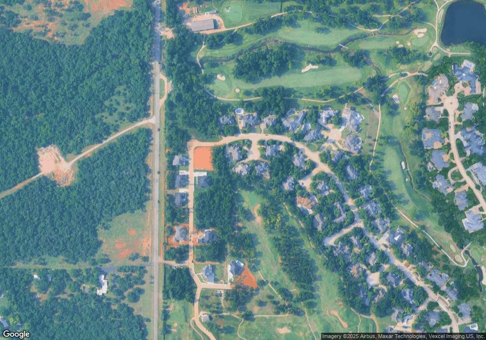
Map
Nearby Homes
- 6201 Canopy Ln
- 6101 N Santa fe Ave
- 2017 Colonial Way
- 2009 Colonial Way
- 5901 Calcutta Ln
- 2109 Wiregrass Dr
- 2009 Wiregrass Dr
- 6132 Stonegate Place
- 9071 Oak Tree Cir
- 1833 Red Prairie Dr
- 6108 Oak Tree Rd
- 5801 Oak Tree Rd
- 2320 W Sorghum Mill Rd
- 1601 Irvine Dr
- 13745 Limestone Ln
- 9585 Blue Bonnet Blvd
- 2025 Arbor Valley Dr
- 1405 Irvine Dr
- 14142 Fox Lair Ln
- 10071 Lacewood Dr
- 2001 Kiawah Cir
- 2004 Kiawah Cir
- 6308 Canopy Ln
- 6316 Canopy Dr
- 6405 Oak Forest Rd
- 2005 Oak Valley Cir
- 6500 Oak Forest Rd
- 6401 Oak Forest Rd
- 6504 Oak Forest Rd
- 6408 Oak Forest Rd
- 6309 Canopy Ln
- 6317 Canopy Ln
- 6301 Canopy Ln
- 6208 Canopy Ln
- 6404 Oak Forest Rd
- 2004 Oak Valley Cir
- 1905 Oak Valley Terrace
- 2000 Oak Valley Cir
- 6200 Canopy Ln
- 6209 Canopy Ln