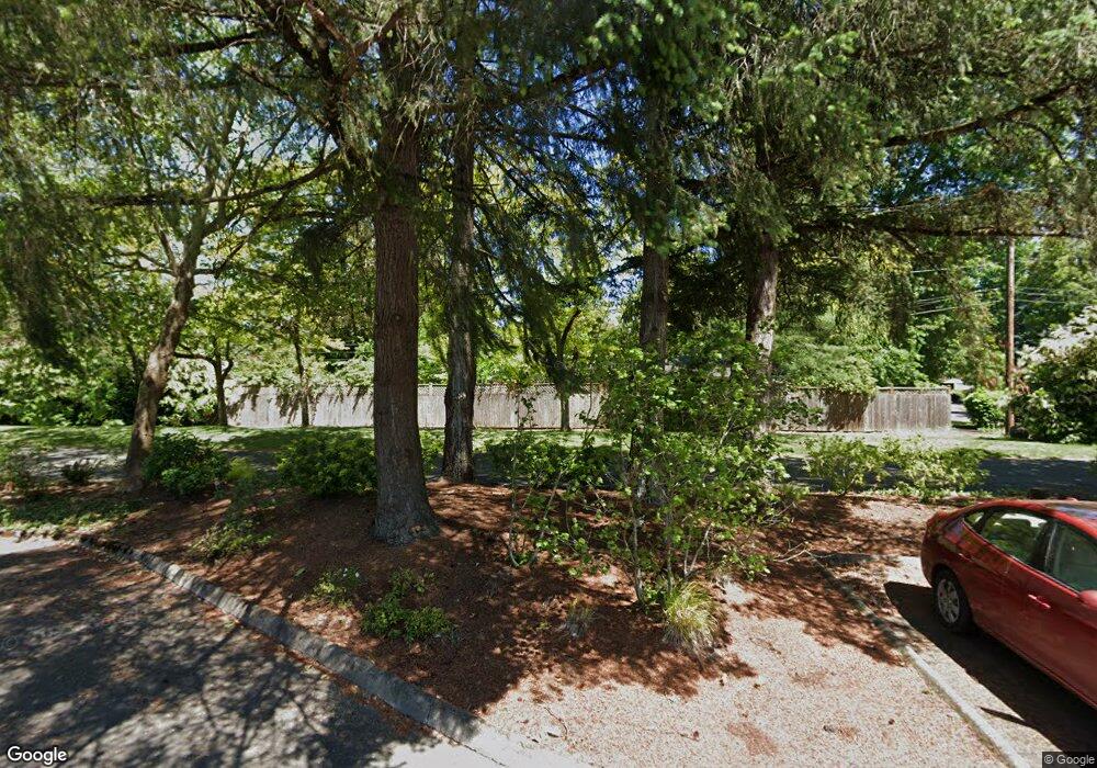
2005 Law Ln Eugene, OR 97401
Cal Young NeighborhoodEstimated Value: $706,228 - $901,000
4
Beds
3
Baths
2,652
Sq Ft
$306/Sq Ft
Est. Value
About This Home
This home is located at 2005 Law Ln, Eugene, OR 97401 and is currently estimated at $810,807, approximately $305 per square foot. 2005 Law Ln is a home located in Lane County with nearby schools including Willagillespie Elementary School, Monroe Middle School, and Sheldon High School.
Ownership History
Date
Name
Owned For
Owner Type
Purchase Details
Closed on
Mar 30, 2018
Sold by
Herbert Greg L and Herbert Terri L
Bought by
Herbert Trust and Herbert
Current Estimated Value
Purchase Details
Closed on
Jan 30, 2018
Sold by
Herbert Greg L and Herbert Terri L
Bought by
Herbert Trust and Perkins
Purchase Details
Closed on
Jan 29, 2018
Sold by
Herbert Greg L and Herbert Terri L
Bought by
Perkins Greg Leon and Perkins Terri Lynn
Create a Home Valuation Report for This Property
The Home Valuation Report is an in-depth analysis detailing your home's value as well as a comparison with similar homes in the area
Home Values in the Area
Average Home Value in this Area
Purchase History
| Date | Buyer | Sale Price | Title Company |
|---|---|---|---|
| Herbert Trust | -- | None Listed On Document | |
| Herbert Trust | -- | None Listed On Document | |
| Perkins Greg Leon | -- | None Available | |
| Herbert Terri Lynn | -- | None Available |
Source: Public Records
Tax History Compared to Growth
Tax History
| Year | Tax Paid | Tax Assessment Tax Assessment Total Assessment is a certain percentage of the fair market value that is determined by local assessors to be the total taxable value of land and additions on the property. | Land | Improvement |
|---|---|---|---|---|
| 2025 | $8,315 | $426,777 | -- | -- |
| 2024 | $8,212 | $414,347 | -- | -- |
| 2023 | $8,212 | $402,279 | -- | -- |
| 2022 | $7,693 | $390,563 | $0 | $0 |
| 2021 | $7,226 | $379,188 | $0 | $0 |
| 2020 | $7,093 | $368,144 | $0 | $0 |
| 2019 | $6,794 | $357,422 | $0 | $0 |
| 2018 | $6,360 | $336,905 | $0 | $0 |
| 2017 | $5,991 | $336,905 | $0 | $0 |
| 2016 | $5,712 | $327,092 | $0 | $0 |
| 2015 | $5,518 | $317,565 | $0 | $0 |
| 2014 | $5,400 | $308,316 | $0 | $0 |
Source: Public Records
Map
Nearby Homes
- 2055 Monterey Ln
- 863 Fairway View Dr
- 1632 Larkspur Loop
- 1328 Spyglass Dr
- 1735 Minda Dr
- 1565 Monterey Ave
- 2150 Greenview St
- 2133 Jeppesen Acres Rd
- 410 Spyglass Dr
- 820 Lariat Dr
- 2250 Turnberry Ct
- 516 Spyglass Dr
- 1750 Tabor St
- 2107 Bedford Way
- 1254 Rio Glen Dr
- 1654 Brewer Ave
- 1641 Chasa St
- 2065 Providence St
- 0 Crenshaw Rd Unit 740506614
- 1332 Jeppesen Ave
- 2019 Law Ln
- 2034 Cal Young Rd
- 2044 Cal Young Rd
- 2020 Law Ln
- 2106 Roland Way
- 2092 Roland Way
- 2027 Law Ln
- 2122 Roland Way
- 2044 Law Ln
- 1401 Morningside Dr
- 1402 Morningside Dr
- 2035 Law Ln
- 1985 Cal Young Rd
- 2061 Cal Young Rd
- 2105 Roland Way
- 1975 Cal Young Rd
- 2134 Roland Way
- 2043 Law Ln
- 2071 Cal Young Rd
- 2064 Law Ln
