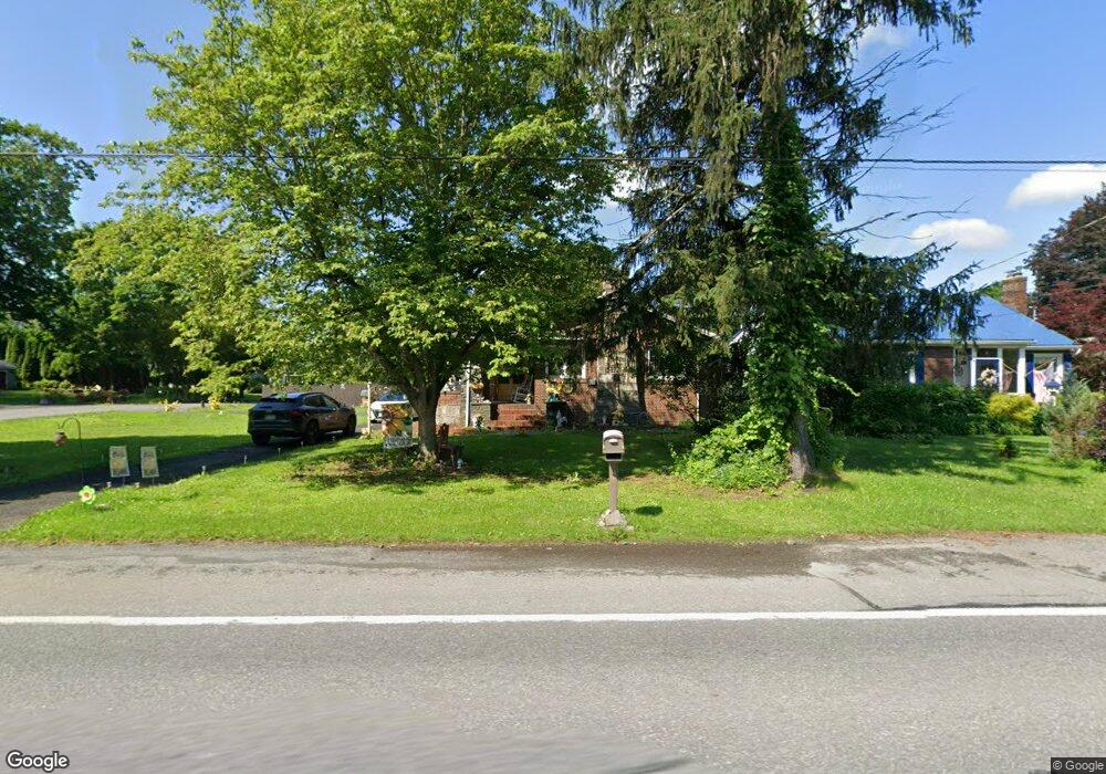
2005 N 5th St Stroudsburg, PA 18360
Estimated Value: $372,000 - $467,000
3
Beds
2
Baths
1,924
Sq Ft
$214/Sq Ft
Est. Value
About This Home
This home is located at 2005 N 5th St, Stroudsburg, PA 18360 and is currently estimated at $411,223, approximately $213 per square foot. 2005 N 5th St is a home located in Monroe County with nearby schools including Stroudsburg Junior High School, Stroudsburg High School, and Summit School Of The Poconos.
Ownership History
Date
Name
Owned For
Owner Type
Purchase Details
Closed on
Sep 15, 2021
Sold by
Brown Tina Marie
Bought by
Wong Suzette and Contreras Mario
Current Estimated Value
Home Financials for this Owner
Home Financials are based on the most recent Mortgage that was taken out on this home.
Original Mortgage
$312,730
Outstanding Balance
$284,561
Interest Rate
2.8%
Mortgage Type
FHA
Estimated Equity
$126,662
Purchase Details
Closed on
Nov 6, 2020
Sold by
Brown Robert
Bought by
Brown Tina Marie
Purchase Details
Closed on
Jul 14, 1997
Bought by
Brown Robert and Brown Tina M
Create a Home Valuation Report for This Property
The Home Valuation Report is an in-depth analysis detailing your home's value as well as a comparison with similar homes in the area
Home Values in the Area
Average Home Value in this Area
Purchase History
| Date | Buyer | Sale Price | Title Company |
|---|---|---|---|
| Wong Suzette | $318,500 | Gateway Abstract | |
| Brown Tina Marie | -- | None Available | |
| Brown Robert | $95,000 | -- |
Source: Public Records
Mortgage History
| Date | Status | Borrower | Loan Amount |
|---|---|---|---|
| Open | Wong Suzette | $312,730 |
Source: Public Records
Tax History Compared to Growth
Tax History
| Year | Tax Paid | Tax Assessment Tax Assessment Total Assessment is a certain percentage of the fair market value that is determined by local assessors to be the total taxable value of land and additions on the property. | Land | Improvement |
|---|---|---|---|---|
| 2025 | $1,912 | $231,910 | $22,130 | $209,780 |
| 2024 | $1,564 | $231,910 | $22,130 | $209,780 |
| 2023 | $7,741 | $231,910 | $22,130 | $209,780 |
| 2022 | $7,904 | $231,910 | $22,130 | $209,780 |
| 2021 | $7,661 | $231,910 | $22,130 | $209,780 |
| 2019 | $3,505 | $18,590 | $5,250 | $13,340 |
| 2018 | $3,739 | $18,590 | $5,250 | $13,340 |
| 2017 | $3,739 | $18,590 | $5,250 | $13,340 |
| 2016 | $704 | $18,590 | $5,250 | $13,340 |
| 2015 | -- | $18,590 | $5,250 | $13,340 |
| 2014 | -- | $18,590 | $5,250 | $13,340 |
Source: Public Records
Map
Nearby Homes
- 0 Seneca Way
- 720 Stokes Mill Rd
- 428 Shook Ave
- 1191 Appenzeller Ave
- 1188 Appenzeller Ave
- 340 Brookside Ave
- 1 Oakland Ave
- 115 Michaels Run
- 984 Forest Dr
- 120 Elizabeth St
- 118 Burgoon Rd
- 198 Grove St
- 0 Eagle Drive (Bush) Ct
- 108 Holmgren Dr
- 2215 Sutton Dr
- 326 Edgemont Rd
- 197 Meyers St
- 00 Phillips St
- 204 Lackawanna Ave
- 592 N Courtland St