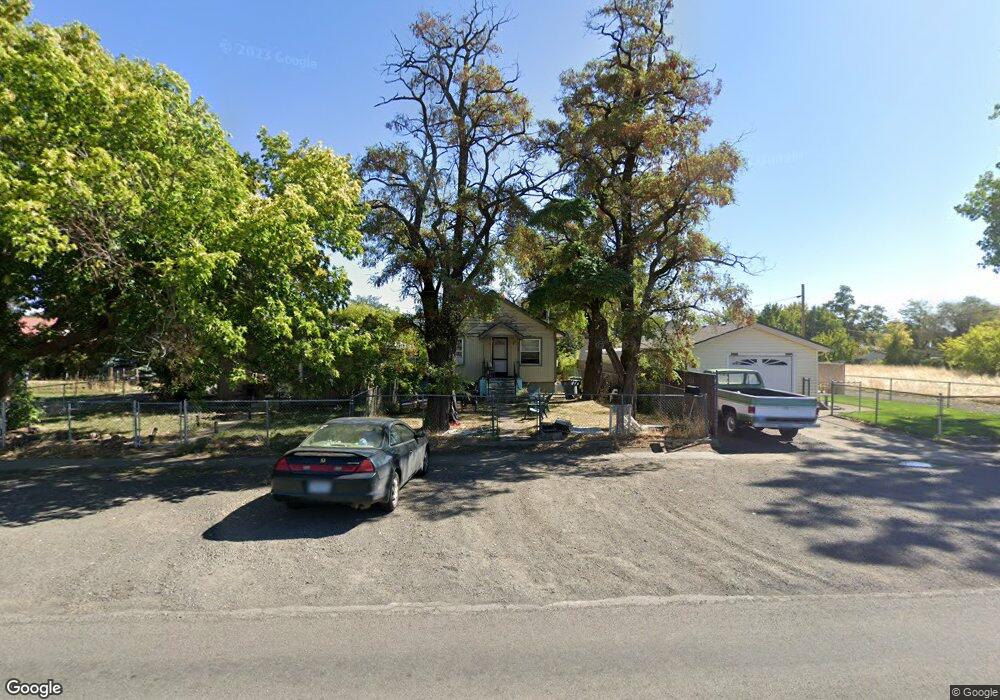
2005 N Depot St La Grande, OR 97850
Estimated Value: $199,000 - $203,141
2
Beds
1
Bath
847
Sq Ft
$237/Sq Ft
Est. Value
About This Home
This home is located at 2005 N Depot St, La Grande, OR 97850 and is currently estimated at $201,071, approximately $237 per square foot. 2005 N Depot St is a home located in Union County with nearby schools including La Grande High School, The Marian Academy, and Grande Ronde Academy.
Ownership History
Date
Name
Owned For
Owner Type
Purchase Details
Closed on
Sep 24, 2007
Sold by
Robins Donald J
Bought by
Hilderbrandt Ryan D
Current Estimated Value
Home Financials for this Owner
Home Financials are based on the most recent Mortgage that was taken out on this home.
Original Mortgage
$50,000
Interest Rate
6.46%
Mortgage Type
Purchase Money Mortgage
Purchase Details
Closed on
Jul 11, 2007
Sold by
Robins Donald J
Bought by
Robins Donald J
Create a Home Valuation Report for This Property
The Home Valuation Report is an in-depth analysis detailing your home's value as well as a comparison with similar homes in the area
Home Values in the Area
Average Home Value in this Area
Purchase History
| Date | Buyer | Sale Price | Title Company |
|---|---|---|---|
| Hilderbrandt Ryan D | $54,000 | Eastern Oregon Title Inc | |
| Robins Donald J | $38,221 | None Available |
Source: Public Records
Mortgage History
| Date | Status | Borrower | Loan Amount |
|---|---|---|---|
| Closed | Hilderbrandt Ryan D | $50,000 |
Source: Public Records
Tax History Compared to Growth
Tax History
| Year | Tax Paid | Tax Assessment Tax Assessment Total Assessment is a certain percentage of the fair market value that is determined by local assessors to be the total taxable value of land and additions on the property. | Land | Improvement |
|---|---|---|---|---|
| 2024 | $1,171 | $65,040 | $26,400 | $38,640 |
| 2023 | $1,150 | $63,150 | $25,630 | $37,520 |
| 2022 | $1,120 | $61,325 | $24,894 | $36,431 |
| 2021 | $1,092 | $59,539 | $24,419 | $35,120 |
| 2020 | $1,048 | $57,805 | $23,721 | $34,084 |
| 2019 | $1,026 | $56,122 | $23,144 | $32,978 |
| 2018 | $999 | $54,488 | $22,611 | $31,877 |
| 2017 | $970 | $52,901 | $17,965 | $34,936 |
| 2016 | $941 | $51,361 | $17,477 | $33,884 |
| 2015 | $907 | $49,866 | $16,917 | $32,949 |
| 2014 | $788 | $48,414 | $16,510 | $31,904 |
| 2013 | -- | $47,004 | $16,098 | $30,906 |
Source: Public Records
Map
Nearby Homes
- 2007 N Depot St
- 2003 N Depot St
- 1314 Court Ave
- 1306 Jackson Ave
- 1308 Jackson Ave
- 2004 N Fir St
- 1314 Jackson Ave
- 1318 Jackson Ave
- 2006 N Fir St
- 1322 Jackson Ave
- 2002 N Fir St
- 1307 Jackson Ave
- 1307 1/2 Jackson Ave
- 1325 T Ave
- 2008 N Fir St
- 1301 Monroe Ave
- 1315 Jackson Ave
- 1316 T Ave
- 2100 N Fir St
- 2001 1/2 N Fir St