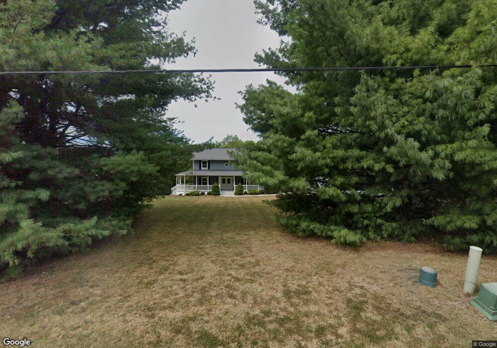
2005 NE Porter Rd Blue Springs, MO 64014
Estimated Value: $392,000 - $550,096
3
Beds
4
Baths
2,446
Sq Ft
$198/Sq Ft
Est. Value
About This Home
This home is located at 2005 NE Porter Rd, Blue Springs, MO 64014 and is currently estimated at $485,365, approximately $198 per square foot. 2005 NE Porter Rd is a home located in Jackson County with nearby schools including Lucy Franklin Elementary School, Brittany Hill Middle School, and Blue Springs High School.
Ownership History
Date
Name
Owned For
Owner Type
Purchase Details
Closed on
Apr 30, 2024
Sold by
Hammontree Chet L and Hammontree Karen L
Bought by
Vancleave Cale and Vancleave Van Cleave
Current Estimated Value
Home Financials for this Owner
Home Financials are based on the most recent Mortgage that was taken out on this home.
Original Mortgage
$427,500
Outstanding Balance
$421,039
Interest Rate
6.82%
Mortgage Type
New Conventional
Estimated Equity
$64,326
Create a Home Valuation Report for This Property
The Home Valuation Report is an in-depth analysis detailing your home's value as well as a comparison with similar homes in the area
Home Values in the Area
Average Home Value in this Area
Purchase History
| Date | Buyer | Sale Price | Title Company |
|---|---|---|---|
| Vancleave Cale | -- | None Listed On Document |
Source: Public Records
Mortgage History
| Date | Status | Borrower | Loan Amount |
|---|---|---|---|
| Open | Vancleave Cale | $427,500 |
Source: Public Records
Tax History Compared to Growth
Tax History
| Year | Tax Paid | Tax Assessment Tax Assessment Total Assessment is a certain percentage of the fair market value that is determined by local assessors to be the total taxable value of land and additions on the property. | Land | Improvement |
|---|---|---|---|---|
| 2025 | $6,743 | $60,808 | $16,063 | $44,745 |
| 2024 | $6,614 | $82,654 | $16,849 | $65,805 |
| 2023 | $6,614 | $82,654 | $15,732 | $66,922 |
| 2022 | $4,163 | $45,980 | $13,272 | $32,708 |
| 2021 | $4,159 | $45,980 | $13,272 | $32,708 |
| 2020 | $3,899 | $43,850 | $13,272 | $30,578 |
| 2019 | $3,770 | $43,850 | $13,272 | $30,578 |
| 2018 | $3,330 | $37,289 | $13,815 | $23,474 |
| 2017 | $3,330 | $37,289 | $13,815 | $23,474 |
| 2016 | $3,239 | $36,355 | $8,234 | $28,121 |
| 2014 | $3,249 | $36,355 | $8,234 | $28,121 |
Source: Public Records
Map
Nearby Homes
- 1855 NE Duncan Rd
- 2400 NE Porter Rd
- 2372 NE Colonnade Ave
- 2341 NE Colonnade Ave
- 2340 NE Colonnade Ave
- 2345 NE Colonnade Ave
- 2344 NE Colonnade Ave
- 2353 NE Colonnade Ave
- 2352 NE Colonnade Ave
- 2104 NE Wyndham Place
- 2360 NE Colonnade Ave
- 2367 NE Skopelos Ct
- 2237 NE Maybrook Dr
- 2369 NE Colonnade Ave
- 2332 NE Andromada Ct
- 2376 NE Skopelos Ct
- 2373 NE Colonnade Ave
- 2309 NE 23rd St
- 2304 NE 23rd St
- 2210 NE Treetop Dr
- 1905 NE Porter Rd
- 2209 NE Colonnade
- 1805 NE Aegean Ct
- 2213 NE Colonnade
- 2205 NE Colonnade
- 1801 NE Aegean Ct
- 2011 NE Merchison Ln
- 1809 NE Aegean Ct
- 1855 NE Porter Rd
- 2217 NE Colonnade
- 1813 NE Aegean Ct
- 1800 NE Aegean Ct
- 2208 NE Colonnade
- 2301 NE Colonnade
- 1808 NE Aegean Ct
- 2095 NE Porter Rd
- 2004 NE Merchison Ct
- 2200 NE Colonnade
- 2204 NE Colonnade
- 1804 NE Aegean Ct