2005 NW Cornelius Schefflin Rd Cornelius, OR 97113
Estimated Value: $646,366 - $649,000
3
Beds
2
Baths
1,681
Sq Ft
$385/Sq Ft
Est. Value
About This Home
This home is located at 2005 NW Cornelius Schefflin Rd, Cornelius, OR 97113 and is currently estimated at $647,683, approximately $385 per square foot. 2005 NW Cornelius Schefflin Rd is a home located in Washington County with nearby schools including Free Orchards Elementary School, Evergreen Jr High School, and Glencoe High School.
Ownership History
Date
Name
Owned For
Owner Type
Purchase Details
Closed on
Nov 10, 2015
Sold by
Rainey Michael A and Rainey Cheryl A
Bought by
Leon Simeon Alvarado and Andrade Virginia Alvarado
Current Estimated Value
Home Financials for this Owner
Home Financials are based on the most recent Mortgage that was taken out on this home.
Original Mortgage
$240,000
Outstanding Balance
$188,257
Interest Rate
3.71%
Mortgage Type
New Conventional
Estimated Equity
$459,426
Purchase Details
Closed on
Dec 18, 1998
Sold by
Rainey Michael A and Rainey Cheryl A
Bought by
Davis Florian E and Davis Marilyn
Create a Home Valuation Report for This Property
The Home Valuation Report is an in-depth analysis detailing your home's value as well as a comparison with similar homes in the area
Home Values in the Area
Average Home Value in this Area
Purchase History
| Date | Buyer | Sale Price | Title Company |
|---|---|---|---|
| Leon Simeon Alvarado | $340,000 | Lawyers Title | |
| Davis Florian E | $90,000 | First American Title Co |
Source: Public Records
Mortgage History
| Date | Status | Borrower | Loan Amount |
|---|---|---|---|
| Open | Leon Simeon Alvarado | $240,000 |
Source: Public Records
Tax History Compared to Growth
Tax History
| Year | Tax Paid | Tax Assessment Tax Assessment Total Assessment is a certain percentage of the fair market value that is determined by local assessors to be the total taxable value of land and additions on the property. | Land | Improvement |
|---|---|---|---|---|
| 2025 | $2,659 | $211,550 | -- | -- |
| 2024 | $2,382 | $205,460 | -- | -- |
| 2023 | $2,382 | $199,420 | $0 | $0 |
| 2022 | $2,324 | $199,420 | $0 | $0 |
| 2021 | $2,289 | $188,050 | $0 | $0 |
| 2020 | $2,157 | $182,580 | $0 | $0 |
| 2019 | $2,127 | $177,270 | $0 | $0 |
| 2018 | $2,038 | $172,110 | $0 | $0 |
| 2017 | $2,036 | $167,110 | $0 | $0 |
| 2016 | $1,990 | $162,250 | $0 | $0 |
| 2015 | $1,905 | $157,520 | $0 | $0 |
| 2014 | $1,906 | $152,940 | $0 | $0 |
Source: Public Records
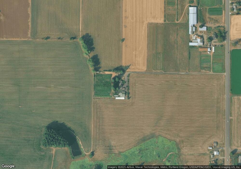
Map
Nearby Homes
- 570 N 10th Ave Unit 6
- 570 N 10th Ave Unit 21
- 570 N 10th Ave Unit 75
- 570 N 10th Ave Unit 110
- 570 N 10th Ave Unit 10
- 570 N 10th Ave Unit 56
- 570 N 10th Ave Unit 58
- 570 N 10th St Unit 29
- 562 N 14th Ave
- 921 N 19th Ave
- 406 N 9th Ct
- 440 N 14th Ave
- 1251 N Davis St
- 2279 N Kamiakan Dr
- 507 N 19th Ave Unit 60
- 507 N 19th Ave Unit 15
- 507 N 19th Ave Unit 2
- 507 N 19th Ave Unit 1
- 507 N 19th Ave Unit 7
- 328 N 15th Ave
- 2330 NW Cornelius Schefflin Rd
- 2304 NW Cornelius Schefflin Rd
- 37140 NW Farmside Ln
- 2270 NW Cornelius Schefflin Rd
- 37020 NW Farmside Ln
- 37175 NW Farmside Ln
- 37085 NW Farmside Ln
- 37005 NW Farmside Ln
- 37100 NW Long Rd
- 2785 NW Cornelius Schefflin Rd
- 36682 NW Long Rd
- 36820 NW Long Rd
- 2963 N Corn St
- 36785 NW Long Rd
- 36600 NW Long Rd
- 36510 NW Long Rd
- 3095 NW 366th Place
- 0 NW Long Rd
- 36543 NW Long Rd
- 36390 NW Long Rd