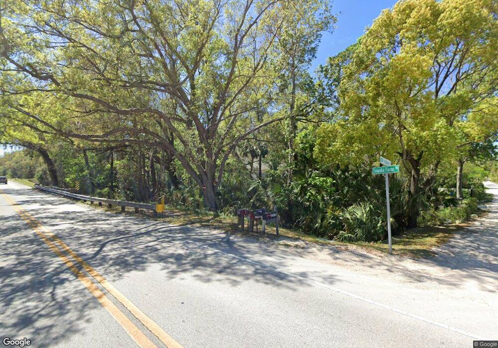
2005 Pottery Ln Port Orange, FL 32128
Samsula-Spruce Creek NeighborhoodEstimated Value: $466,000 - $665,472
2
Beds
2
Baths
3,569
Sq Ft
$169/Sq Ft
Est. Value
About This Home
This home is located at 2005 Pottery Ln, Port Orange, FL 32128 and is currently estimated at $604,868, approximately $169 per square foot. 2005 Pottery Ln is a home located in Volusia County with nearby schools including Sweetwater Elementary School, Atlantic High School, and Silver Sands Middle School.
Ownership History
Date
Name
Owned For
Owner Type
Purchase Details
Closed on
Dec 14, 2018
Sold by
Mccarty John L and Ware Elizabeth A
Bought by
Hayes Nicole Marie
Current Estimated Value
Home Financials for this Owner
Home Financials are based on the most recent Mortgage that was taken out on this home.
Original Mortgage
$346,500
Outstanding Balance
$322,131
Interest Rate
8.12%
Mortgage Type
Adjustable Rate Mortgage/ARM
Estimated Equity
$282,737
Purchase Details
Closed on
Jan 9, 2003
Sold by
Mcgarity Robert J
Bought by
Mccarty John L and Ware Elizabeth A
Purchase Details
Closed on
Jun 21, 2001
Sold by
Ludwig Timothy A and Ludwig Mary Jeanne
Bought by
Mccarty John L and Ware Elizabeth A
Home Financials for this Owner
Home Financials are based on the most recent Mortgage that was taken out on this home.
Original Mortgage
$14,950
Interest Rate
7.14%
Create a Home Valuation Report for This Property
The Home Valuation Report is an in-depth analysis detailing your home's value as well as a comparison with similar homes in the area
Home Values in the Area
Average Home Value in this Area
Purchase History
| Date | Buyer | Sale Price | Title Company |
|---|---|---|---|
| Hayes Nicole Marie | $385,000 | First American Title Insuran | |
| Mccarty John L | -- | -- | |
| Mccarty John L | $149,900 | -- |
Source: Public Records
Mortgage History
| Date | Status | Borrower | Loan Amount |
|---|---|---|---|
| Open | Hayes Nicole Marie | $346,500 | |
| Previous Owner | Mccarty John L | $14,950 |
Source: Public Records
Tax History Compared to Growth
Tax History
| Year | Tax Paid | Tax Assessment Tax Assessment Total Assessment is a certain percentage of the fair market value that is determined by local assessors to be the total taxable value of land and additions on the property. | Land | Improvement |
|---|---|---|---|---|
| 2025 | $5,537 | $352,367 | -- | -- |
| 2024 | $5,537 | $342,437 | -- | -- |
| 2023 | $5,537 | $332,464 | $0 | $0 |
| 2022 | $5,452 | $322,781 | $0 | $0 |
| 2021 | $5,619 | $313,380 | $59,020 | $254,360 |
| 2020 | $5,607 | $312,873 | $63,960 | $248,913 |
| 2019 | $5,568 | $306,308 | $61,750 | $244,558 |
| 2018 | $2,163 | $134,069 | $0 | $0 |
| 2017 | $2,012 | $125,145 | $0 | $0 |
| 2016 | $1,999 | $122,571 | $0 | $0 |
| 2015 | $2,046 | $121,719 | $0 | $0 |
| 2014 | $2,010 | $120,753 | $0 | $0 |
Source: Public Records
Map
Nearby Homes
- 2421 Guava Dr
- 2433 Guava Dr
- 1925 Spruce Creek Cir N
- 2345 Tomoka Farms Rd
- 1934 Jackson Ln
- 1860 Adrian Creek Blvd
- 2454 Hyatt Creek Ln
- 2318 Old Samsula Rd
- 1855 Cattle Creek Ln
- 1844 Adrian Creek Blvd
- 6460 Highfield Village Dr
- 2426 Wild Turkey Creek Ln
- St. Tropez Plan at The Estates at Brown's Landing
- Egret V Plan at The Estates at Brown's Landing
- Monaco Plan at The Estates at Brown's Landing
- Egret Plan at The Estates at Brown's Landing
- Monica Plan at The Estates at Brown's Landing
- Augusta Plan at The Estates at Brown's Landing
- Egret VIII Plan at The Estates at Brown's Landing
- Isabella Plan at The Estates at Brown's Landing
- 2452 Tomoka Farms Rd
- 2470 Tomoka Farms Rd
- 2011 Red Robin Dr
- 2021 Red Robin Dr
- 2010 Red Robin Dr
- 2035 Pottery Ln
- 2031 Red Robin Dr
- 2020 Red Robin Dr
- 2039 Pottery Ln
- Tomoka Farms Rd
- Tomoka Farms Rd
- Tomoka Farms Rd
- 2447 Tomoka Farms Rd
- 2041 Red Robin Dr
- 2030 Red Robin Dr
- 2045 Pottery Ln
- 2051 Red Robin Dr
- 2 Tropic Wind Dr
- 2421 Old Samsula Rd
- 104 Bill Cir
