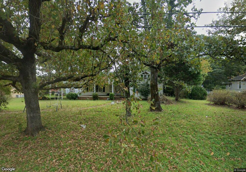
2005 S Post Rd Shelby, NC 28152
Estimated Value: $209,000 - $235,000
Studio
--
Bath
1,554
Sq Ft
$145/Sq Ft
Est. Value
About This Home
This home is located at 2005 S Post Rd, Shelby, NC 28152 and is currently estimated at $224,621, approximately $144 per square foot. 2005 S Post Rd is a home located in Cleveland County with nearby schools including Township Three Elementary School, Crest Middle School, and Crest High School.
Ownership History
Date
Name
Owned For
Owner Type
Purchase Details
Closed on
Nov 17, 2025
Sold by
Gibson Jeanette Floyd
Bought by
Jeanette Floyd Gibson Irrevocable Trust and Gibson
Current Estimated Value
Purchase Details
Closed on
Dec 29, 2015
Sold by
Malik Nasir A and Shafi Anisa
Bought by
Patel Devendra R
Purchase Details
Closed on
Jan 30, 2015
Sold by
Lowery Gwendolyn D
Bought by
Malik Nasir A and Shafi Anisa
Home Financials for this Owner
Home Financials are based on the most recent Mortgage that was taken out on this home.
Original Mortgage
$120,000
Interest Rate
3.88%
Mortgage Type
Purchase Money Mortgage
Create a Home Valuation Report for This Property
The Home Valuation Report is an in-depth analysis detailing your home's value as well as a comparison with similar homes in the area
Home Values in the Area
Average Home Value in this Area
Purchase History
| Date | Buyer | Sale Price | Title Company |
|---|---|---|---|
| Jeanette Floyd Gibson Irrevocable Trust | -- | None Listed On Document | |
| Gibson Jeanette Floyd | -- | None Listed On Document | |
| Patel Devendra R | $230,000 | None Available | |
| Malik Nasir A | $200,000 | None Available |
Source: Public Records
Mortgage History
| Date | Status | Borrower | Loan Amount |
|---|---|---|---|
| Previous Owner | Malik Nasir A | $120,000 |
Source: Public Records
Tax History
| Year | Tax Paid | Tax Assessment Tax Assessment Total Assessment is a certain percentage of the fair market value that is determined by local assessors to be the total taxable value of land and additions on the property. | Land | Improvement |
|---|---|---|---|---|
| 2025 | $1,168 | $148,810 | $40,061 | $108,749 |
| 2024 | $956 | $98,523 | $31,627 | $66,896 |
| 2023 | $951 | $98,523 | $31,627 | $66,896 |
| 2022 | $951 | $98,523 | $31,627 | $66,896 |
| 2021 | $956 | $98,523 | $31,627 | $66,896 |
| 2020 | $659 | $81,498 | $31,627 | $49,871 |
| 2019 | $819 | $81,498 | $31,627 | $49,871 |
| 2018 | $817 | $81,498 | $31,627 | $49,871 |
| 2017 | $813 | $81,498 | $31,627 | $49,871 |
| 2016 | $662 | $81,498 | $31,627 | $49,871 |
| 2015 | $681 | $83,876 | $24,247 | $59,629 |
| 2014 | $681 | $83,876 | $24,247 | $59,629 |
Source: Public Records
Map
Nearby Homes
- 2106 S Post Rd
- 5111 Westgate Dr
- 5001 Westgate Dr Unit 68
- 2036 Biggers Lake Rd
- 2237 Ellis Rd
- 112 Jenny Dr
- 1414 S Post Rd
- 2353 S Post Rd
- 00 Ellis Rd
- 1701 Cedar Creek Rd
- 3009 Drake Center
- 102 Roseborough Rd
- 3007 Drake Cir
- 3026 Drake Cir
- 3028 Drake Cir
- 1906 S Oakhurst Dr
- TBD Ellis Rd
- 4209 Homeplace Dr
- 118 Ponder Rd
- 0 Winter Park Dr
- 2009 S Post Rd
- 2004 Cleveland Ave
- 2003 S Post Rd
- 2007 Rabbit Run Ln
- 2014 Cleveland Ave
- 1932 Topic St
- 0 Topic Ct
- 2010 Rabbit Run Ln
- 1930 S Post Rd
- 2021 S Post Rd
- 1926 S Post Rd
- 2015 Cleveland Ave
- 2016 Cleveland Ave
- 1924 Topic St
- 2025 S Post Rd
- 1920 Topic St
- 106 Ida Cir
- 2101 Cleveland Ave
- 183 S Post Rd
- 104 Ida Cir
Your Personal Tour Guide
Ask me questions while you tour the home.