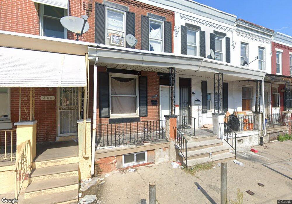
2005 S Simpson St Philadelphia, PA 19142
Paschall NeighborhoodEstimated Value: $92,000 - $121,000
2
Beds
1
Bath
960
Sq Ft
$110/Sq Ft
Est. Value
About This Home
This home is located at 2005 S Simpson St, Philadelphia, PA 19142 and is currently estimated at $105,217, approximately $109 per square foot. 2005 S Simpson St is a home located in Philadelphia County with nearby schools including Joseph W. Catharine School, Tilden Middle School, and John Bartram High School.
Ownership History
Date
Name
Owned For
Owner Type
Purchase Details
Closed on
Jun 8, 2015
Sold by
Zhang Tian Xiao
Bought by
Zhang Tian Xiao and Jiang Zhenxing
Current Estimated Value
Purchase Details
Closed on
Feb 27, 2014
Sold by
Davis & Davis Llc and Davis Maceo
Bought by
Zhang Tian Xiao and Zhang Tian
Purchase Details
Closed on
Jun 11, 2010
Sold by
Davis Maceo N and Davis Carolyn L
Bought by
Davis & Davis Llc
Purchase Details
Closed on
Dec 10, 1997
Sold by
Wright Eleanor
Bought by
Davis Nathaniel
Create a Home Valuation Report for This Property
The Home Valuation Report is an in-depth analysis detailing your home's value as well as a comparison with similar homes in the area
Home Values in the Area
Average Home Value in this Area
Purchase History
| Date | Buyer | Sale Price | Title Company |
|---|---|---|---|
| Zhang Tian Xiao | -- | None Available | |
| Zhang Tian Xiao | -- | -- | |
| Davis & Davis Llc | $14,688 | None Available | |
| Davis Nathaniel | $15,000 | -- |
Source: Public Records
Tax History Compared to Growth
Tax History
| Year | Tax Paid | Tax Assessment Tax Assessment Total Assessment is a certain percentage of the fair market value that is determined by local assessors to be the total taxable value of land and additions on the property. | Land | Improvement |
|---|---|---|---|---|
| 2025 | $924 | $81,300 | $16,260 | $65,040 |
| 2024 | $924 | $81,300 | $16,260 | $65,040 |
| 2023 | $924 | $66,000 | $13,200 | $52,800 |
| 2022 | $910 | $66,000 | $13,200 | $52,800 |
| 2021 | $910 | $0 | $0 | $0 |
| 2020 | $910 | $0 | $0 | $0 |
| 2019 | $840 | $0 | $0 | $0 |
| 2018 | $746 | $0 | $0 | $0 |
| 2017 | $746 | $0 | $0 | $0 |
| 2016 | $746 | $0 | $0 | $0 |
| 2015 | $714 | $0 | $0 | $0 |
| 2014 | -- | $53,300 | $3,010 | $50,290 |
| 2012 | -- | $4,800 | $846 | $3,954 |
Source: Public Records
Map
Nearby Homes
- 2113 S Simpson St
- 2008 S 64th St
- 2016 S Simpson St
- 2001 S Avondale St
- 2110 Farrell Ln
- 2136 S 65th St
- 6447 Upland St
- 6517 Greenway Ave
- 2024 S 65th St
- 6901 Greenway Ave
- 6348 Kingsessing Ave
- 2138 S Gould St
- 6543 Greenway Ave
- 2109 S 66th St
- 6420 Saybrook Ave
- 6514 Saybrook Ave
- 6306 Regent St
- 2032 S 66th St
- 6169 Yocum St
- 6310 Allman St
- 2007 S Simpson St
- 2003 S Simpson St
- 2009 S Simpson St
- 2001 S Simpson St
- 2011 S Simpson St
- 2004 S Avondale St
- 2002 S Avondale St
- 2006 S Avondale St
- 2000 S Avondale St
- 2008 S Avondale St
- 2010 S Avondale St
- 2008 S Simpson St
- 2006 S Simpson St
- 2004 S Simpson St
- 2010 S Simpson St
- 2017 S Simpson St
- 2012 S Avondale St
- 2012 S Simpson St
- 2000 S Simpson St