2005 Smoke Tree Dr Carefree, AZ 85377
Boulders NeighborhoodEstimated Value: $1,232,598 - $1,653,000
3
Beds
3
Baths
2,689
Sq Ft
$540/Sq Ft
Est. Value
About This Home
This home is located at 2005 Smoke Tree Dr, Carefree, AZ 85377 and is currently estimated at $1,452,400, approximately $540 per square foot. 2005 Smoke Tree Dr is a home located in Maricopa County with nearby schools including Black Mountain Elementary School, Cactus Shadows High School, and Sonoran Trails Middle School.
Ownership History
Date
Name
Owned For
Owner Type
Purchase Details
Closed on
Jul 1, 2008
Sold by
Declaration Hurckes Richard W
Bought by
Hindle Robert E and Hindle Kathleen B
Current Estimated Value
Purchase Details
Closed on
Jan 6, 2006
Sold by
Hurckes Richard W and Hurckes Mary Louise
Bought by
Declaration Hurckes Richard W and Declaration Richard W Hurckes
Purchase Details
Closed on
May 5, 1995
Sold by
Hesse Henry A
Bought by
Hurckes Richard W and Hurckes Mary Louise
Home Financials for this Owner
Home Financials are based on the most recent Mortgage that was taken out on this home.
Original Mortgage
$300,000
Interest Rate
6%
Mortgage Type
New Conventional
Create a Home Valuation Report for This Property
The Home Valuation Report is an in-depth analysis detailing your home's value as well as a comparison with similar homes in the area
Home Values in the Area
Average Home Value in this Area
Purchase History
| Date | Buyer | Sale Price | Title Company |
|---|---|---|---|
| Hindle Robert E | $924,000 | Chicago Title | |
| Declaration Hurckes Richard W | -- | None Available | |
| Hurckes Richard W | $550,000 | United Title Agency |
Source: Public Records
Mortgage History
| Date | Status | Borrower | Loan Amount |
|---|---|---|---|
| Previous Owner | Hurckes Richard W | $300,000 |
Source: Public Records
Tax History
| Year | Tax Paid | Tax Assessment Tax Assessment Total Assessment is a certain percentage of the fair market value that is determined by local assessors to be the total taxable value of land and additions on the property. | Land | Improvement |
|---|---|---|---|---|
| 2025 | $3,019 | $78,529 | -- | -- |
| 2024 | $2,842 | $74,790 | -- | -- |
| 2023 | $2,842 | $86,620 | $17,320 | $69,300 |
| 2022 | $2,784 | $72,070 | $14,410 | $57,660 |
| 2021 | $3,125 | $71,880 | $14,370 | $57,510 |
| 2020 | $3,080 | $71,210 | $14,240 | $56,970 |
| 2019 | $2,987 | $67,880 | $13,570 | $54,310 |
| 2018 | $2,875 | $65,020 | $13,000 | $52,020 |
| 2017 | $2,772 | $64,510 | $12,900 | $51,610 |
| 2016 | $2,756 | $58,730 | $11,740 | $46,990 |
| 2015 | $2,608 | $48,210 | $9,640 | $38,570 |
Source: Public Records
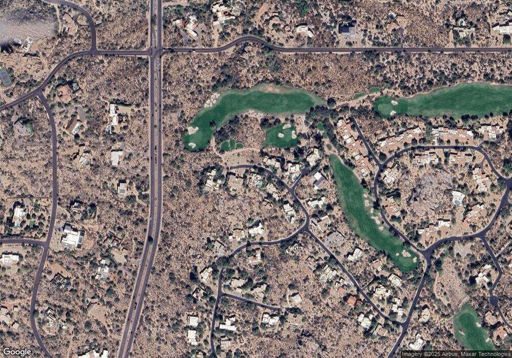
Map
Nearby Homes
- 2003 Smoketree Dr
- 2044 Smoketree Dr
- 2014 Smoketree Dr
- 7390 E Stagecoach Pass
- 1018 N Boulder Dr
- 1084 N Boulder Dr
- 2304 Fox Tail
- 1103 Ocotillo Cir
- 7468 E Stagecoach Pass
- 7416 E Arroyo Hondo Rd
- 7311 E Arroyo Hondo Rd
- 36631 N Peaceful Place
- 1049 N Boulder Dr
- 35035 Whileaway Rd
- 36700 Lone Eagle Point
- 7018 E Stagecoach Pass Unit 535 and 536
- 1606 N Quartz Valley Ct
- 3106 E Arroyo Hondo Rd
- 6816 E Stagecoach Pass
- 6630 Hawksnest Rd Unit 2
- 2007 Smoketree Dr
- 2006 W Smoketree Dr
- 2006 Smoketree Dr
- 2047 Smoketree Dr
- 2008 Smoketree Dr
- 2008 E Smoketree Dr
- 2013 Smoketree Dr
- 2047 Smoketree Dr
- 2021 Smoketree Dr
- 2019 Smoketree Dr Unit 106
- 2001 Smoketree Dr
- 2001 Smoke Tree Dr
- 2021 N Smoke Tree Ln
- 2010 Smoketree Dr
- 2012 Smoketree Dr
- 2023 Smoketree Dr
- 2023 Smoketree Rd
- 2030 Smoketree Dr
- 2018 Smoketree Dr
- 2042 Smoketree Dr
Your Personal Tour Guide
Ask me questions while you tour the home.