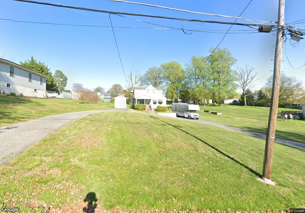
2005 Summit Ave Unit A Rosedale, MD 21237
Estimated Value: $321,000 - $352,184
Studio
2
Baths
1,232
Sq Ft
$271/Sq Ft
Est. Value
About This Home
This home is located at 2005 Summit Ave Unit A, Rosedale, MD 21237 and is currently estimated at $333,796, approximately $270 per square foot. 2005 Summit Ave Unit A is a home located in Baltimore County with nearby schools including Elmwood Elementary School, Golden Ring Middle School, and Overlea High School.
Ownership History
Date
Name
Owned For
Owner Type
Purchase Details
Closed on
Aug 29, 2013
Sold by
Citibank Na
Bought by
Howard Helen
Current Estimated Value
Home Financials for this Owner
Home Financials are based on the most recent Mortgage that was taken out on this home.
Original Mortgage
$173,901
Outstanding Balance
$129,924
Interest Rate
4.43%
Mortgage Type
FHA
Estimated Equity
$203,872
Purchase Details
Closed on
Mar 22, 2013
Sold by
Devan Mark S
Bought by
Citibank and Cmlti Asset Trust
Purchase Details
Closed on
Sep 9, 2005
Sold by
Gentry Donald A
Bought by
Schmitt Christine J
Purchase Details
Closed on
Feb 15, 2000
Sold by
Serio Vincent S
Bought by
Gentry Donald A and Gentry Mary C
Create a Home Valuation Report for This Property
The Home Valuation Report is an in-depth analysis detailing your home's value as well as a comparison with similar homes in the area
Home Values in the Area
Average Home Value in this Area
Purchase History
| Date | Buyer | Sale Price | Title Company |
|---|---|---|---|
| Howard Helen | $142,111 | Crown Title Corporation | |
| Citibank | $1,575,200 | None Available | |
| Schmitt Christine J | $250,000 | -- | |
| Gentry Donald A | $135,000 | -- |
Source: Public Records
Mortgage History
| Date | Status | Borrower | Loan Amount |
|---|---|---|---|
| Open | Howard Helen | $173,901 |
Source: Public Records
Tax History
| Year | Tax Paid | Tax Assessment Tax Assessment Total Assessment is a certain percentage of the fair market value that is determined by local assessors to be the total taxable value of land and additions on the property. | Land | Improvement |
|---|---|---|---|---|
| 2025 | $4,237 | $308,367 | -- | -- |
| 2024 | $4,237 | $283,633 | $0 | $0 |
| 2023 | $1,970 | $258,900 | $73,000 | $185,900 |
| 2022 | $3,604 | $242,133 | $0 | $0 |
| 2021 | $1,420 | $225,367 | $0 | $0 |
| 2020 | $3,208 | $208,600 | $73,000 | $135,600 |
| 2019 | $2,500 | $206,300 | $0 | $0 |
| 2018 | $3,121 | $204,000 | $0 | $0 |
| 2017 | $3,044 | $201,700 | $0 | $0 |
| 2016 | $3,218 | $199,167 | $0 | $0 |
| 2015 | $3,218 | $196,633 | $0 | $0 |
| 2014 | $3,218 | $194,100 | $0 | $0 |
Source: Public Records
Map
Nearby Homes
- 2008 Longview Ct
- 2308 Hamiltowne Cir
- 1227 63rd St
- 5502 Sinclair Greens Dr
- 7908 Underhill Rd
- 4921 Greencrest Rd
- 5900 Hamilton Ave
- 5003 Schaub Ave
- 5013 Schaub Ave
- 5244 Darien Rd
- 1535 Rosewick Ave
- 1127 Chesaco Ave
- 1619 Rosewick Ave
- 1111 Chesaco Ave
- 8007 Sagramore Rd
- 7853 Oakdale Ave
- 1704 Chesaco Ave
- 7836 Oakdale Ave
- 8003 Duvall Ave
- 5006 Anntana Ave
- 2005 Summit Ave
- 2005A Summit Ave
- 2007 Summit Ave
- 2005 Summit Avenue A
- 2009 Summit Ave
- 7401 Regal Ave
- 2002 Summit Ave
- 2006 Summit Ave
- 1911 Summit Ave
- 2010 Summit Ave
- 7403 Regal Ave
- 2013 Summit Ave
- 2000 Summit Ave
- 7402 Regal Ave
- 2012 Summit Ave
- 7404 Regal Ave
- 1904 Wilhelm Ave
- 1907 Summit Ave
- 1906 Wilhelm Ave
- 1902 Wilhelm Ave
Your Personal Tour Guide
Ask me questions while you tour the home.