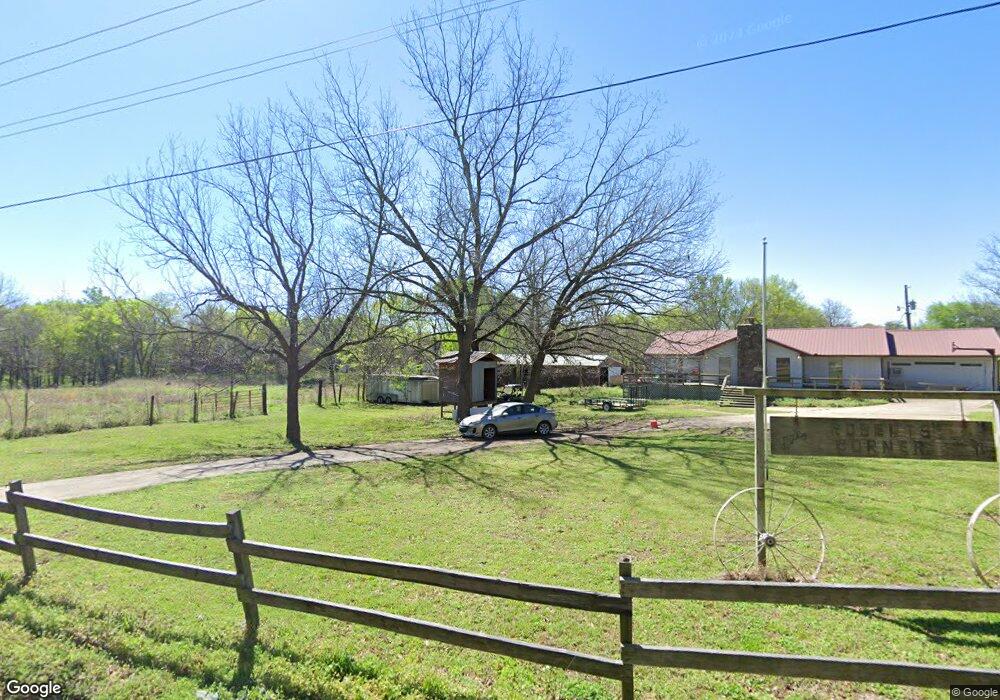
20052 S 476 Rd Tahlequah, OK 74464
Estimated Value: $222,089 - $321,000
3
Beds
2
Baths
2,034
Sq Ft
$134/Sq Ft
Est. Value
About This Home
This home is located at 20052 S 476 Rd, Tahlequah, OK 74464 and is currently estimated at $272,522, approximately $133 per square foot. 20052 S 476 Rd is a home located in Cherokee County with nearby schools including Heritage Elementary School, Tahlequah Middle School, and Tahlequah High School.
Ownership History
Date
Name
Owned For
Owner Type
Purchase Details
Closed on
Apr 2, 2025
Sold by
Roberts James David
Bought by
Roberts James David and Roberts Tamina M
Current Estimated Value
Purchase Details
Closed on
Jun 26, 2017
Sold by
Roberts James D and Roberts Ardith D
Bought by
Roberts James D and Roberts Ardith D
Home Financials for this Owner
Home Financials are based on the most recent Mortgage that was taken out on this home.
Original Mortgage
$191,000
Interest Rate
3.95%
Mortgage Type
VA
Create a Home Valuation Report for This Property
The Home Valuation Report is an in-depth analysis detailing your home's value as well as a comparison with similar homes in the area
Home Values in the Area
Average Home Value in this Area
Purchase History
| Date | Buyer | Sale Price | Title Company |
|---|---|---|---|
| Roberts James David | -- | None Listed On Document | |
| Roberts James David | -- | None Listed On Document | |
| Roberts James D | -- | Equity National Title And Cl |
Source: Public Records
Mortgage History
| Date | Status | Borrower | Loan Amount |
|---|---|---|---|
| Previous Owner | Roberts James D | $191,000 |
Source: Public Records
Tax History Compared to Growth
Tax History
| Year | Tax Paid | Tax Assessment Tax Assessment Total Assessment is a certain percentage of the fair market value that is determined by local assessors to be the total taxable value of land and additions on the property. | Land | Improvement |
|---|---|---|---|---|
| 2025 | -- | $13,893 | $1,421 | $12,472 |
| 2024 | -- | $13,488 | $1,380 | $12,108 |
| 2023 | $0 | $13,096 | $1,249 | $11,847 |
| 2022 | $0 | $12,715 | $1,213 | $11,502 |
| 2021 | $0 | $12,344 | $1,177 | $11,167 |
| 2020 | $1,105 | $11,756 | $1,121 | $10,635 |
| 2019 | $1,052 | $11,197 | $1,022 | $10,175 |
| 2018 | $0 | $10,767 | $1,077 | $9,690 |
| 2017 | $0 | $10,255 | $805 | $9,450 |
| 2016 | -- | $9,766 | $1,421 | $8,345 |
| 2015 | $834 | $9,301 | $785 | $8,516 |
| 2014 | $834 | $8,858 | $747 | $8,111 |
Source: Public Records
Map
Nearby Homes
- 15451 W 791 Rd
- 16840 W Sierra Cir
- 16605 W Sierra Cir
- 21098 S 495 Rd
- 22174 S Black Valley Rd
- 15721 W Clyde Maher Rd
- 21149 S Highway View Dr
- 21039 S Highway View Dr
- 17039 W Maggie Rd
- 562 W Willis Rd
- 1871 Stickross Mountain Rd
- 19816 S 503 Rd
- 19880 S 503 Rd
- 811 Winsor Place
- 761 Winsor Place
- 777 Winsor Place
- 810 Winsor Place
- 831 Winsor Place
- 770 Winsor Place
- 791 Winsor Place