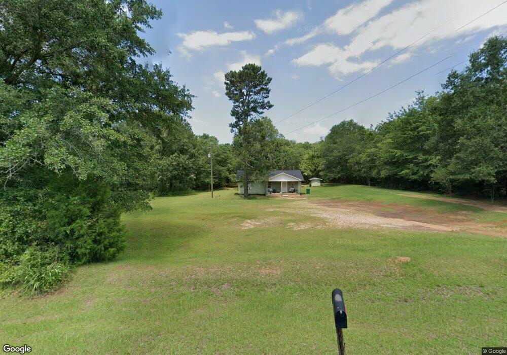
2006 Bill Whitaker Rd Dawson, GA 39842
Estimated Value: $391,000 - $562,000
2
Beds
1
Bath
1,264
Sq Ft
$395/Sq Ft
Est. Value
About This Home
This home is located at 2006 Bill Whitaker Rd, Dawson, GA 39842 and is currently estimated at $498,887, approximately $394 per square foot. 2006 Bill Whitaker Rd is a home with nearby schools including Cooper-Carver Elementary School, Terrell Middle School, and Terrell High School.
Ownership History
Date
Name
Owned For
Owner Type
Purchase Details
Closed on
May 29, 2025
Sold by
Bronwood Investments Lp
Bought by
Harvey Jim W and Mccarthy Sean L
Current Estimated Value
Purchase Details
Closed on
Feb 11, 2016
Sold by
Bateman John Daniel
Bought by
Bronwood Investments Lp
Purchase Details
Closed on
Dec 29, 2000
Sold by
Bateman J Daniel
Bought by
Bateman John Daniel
Purchase Details
Closed on
Jun 15, 1998
Sold by
Nichols Land Invest
Bought by
Bateman J Daniel
Create a Home Valuation Report for This Property
The Home Valuation Report is an in-depth analysis detailing your home's value as well as a comparison with similar homes in the area
Home Values in the Area
Average Home Value in this Area
Purchase History
| Date | Buyer | Sale Price | Title Company |
|---|---|---|---|
| Harvey Jim W | $520,000 | -- | |
| Bronwood Investments Lp | $315,000 | -- | |
| Bateman John Daniel | -- | -- | |
| Bateman J Daniel | $99,000 | -- |
Source: Public Records
Tax History Compared to Growth
Tax History
| Year | Tax Paid | Tax Assessment Tax Assessment Total Assessment is a certain percentage of the fair market value that is determined by local assessors to be the total taxable value of land and additions on the property. | Land | Improvement |
|---|---|---|---|---|
| 2024 | $2,430 | $71,868 | $60,900 | $10,968 |
| 2023 | $2,227 | $71,868 | $60,900 | $10,968 |
| 2022 | $2,227 | $71,868 | $60,900 | $10,968 |
| 2021 | $2,227 | $71,868 | $60,900 | $10,968 |
| 2020 | $2,227 | $71,868 | $60,900 | $10,968 |
| 2019 | $2,155 | $71,868 | $60,900 | $10,968 |
| 2018 | $2,155 | $71,868 | $60,900 | $10,968 |
| 2017 | $2,155 | $71,868 | $60,900 | $10,968 |
| 2016 | $1,745 | $58,199 | $47,231 | $10,968 |
| 2015 | -- | $58,198 | $47,231 | $10,968 |
| 2014 | -- | $58,199 | $47,231 | $10,968 |
| 2013 | -- | $58,198 | $47,230 | $10,968 |
Source: Public Records
Map
Nearby Homes
- 651 Pulpwood Rd
- 1460 Georgia Ave SE
- 1266 Georgia Ave SE
- 0 Elladale Dr SE Unit 18754943
- 439 Cherry St SE
- 3418 New Hope Trail
- 1155 Billy Martin Rd
- 707 Johnson St SE
- 0 Cox Rd
- 411 E Lee St
- 1240 Askew Dr NE
- 1258 Askew Dr NE
- 513 College St NE
- 1239 Askew Dr NE
- 1256 Ball Park Ave NE
- 1264 Ball Park Ave NE
- 978 Lovers Ln
- 229 7th Ave NW
- 828 Cooper Dr NE
- 0 Cooper Dr NE Unit 7597500
- 3126 Sasser Herod Rd
- 3080 Sasser Herod Rd
- 3052 Sasser Herod Rd
- 0 Sasser Herod Rd
- 0000 Sasser Herod Rd
- 1910 Bill Whitaker Rd
- 3271 Sasser Herod Rd
- 3271 Sasser Herod Rd
- 1344 Bill Whitaker Rd
- 1260 Bill Whitaker Rd
- 1206 Bill Whitaker Rd
- 1152 Bill Whitaker Rd
- 1084 Bill Whitaker Rd
- 2252 Sasser Herod Rd
- 2252 Sasser Herod Rd