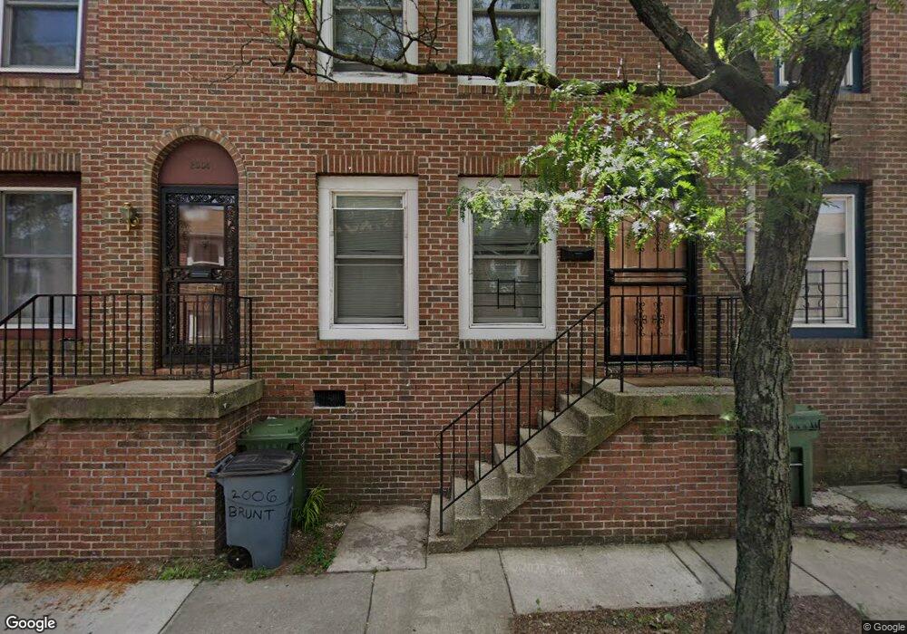
2006 Brunt St Baltimore, MD 21217
Upton NeighborhoodEstimated Value: $95,746 - $107,000
Studio
1
Bath
996
Sq Ft
$102/Sq Ft
Est. Value
About This Home
This home is located at 2006 Brunt St, Baltimore, MD 21217 and is currently estimated at $101,373, approximately $101 per square foot. 2006 Brunt St is a home located in Baltimore City with nearby schools including Sandtown-Winchester Achievement Academy, Booker T. Washington Middle School, and Frederick Douglass High School.
Ownership History
Date
Name
Owned For
Owner Type
Purchase Details
Closed on
Dec 9, 2011
Sold by
Pleasurable Pathways Llc
Bought by
Majett Barbara A
Current Estimated Value
Home Financials for this Owner
Home Financials are based on the most recent Mortgage that was taken out on this home.
Original Mortgage
$38,000
Interest Rate
3.99%
Mortgage Type
Purchase Money Mortgage
Purchase Details
Closed on
Oct 16, 2003
Sold by
Park Place 2001 Llc
Bought by
Brown Wilbur
Create a Home Valuation Report for This Property
The Home Valuation Report is an in-depth analysis detailing your home's value as well as a comparison with similar homes in the area
Home Values in the Area
Average Home Value in this Area
Purchase History
| Date | Buyer | Sale Price | Title Company |
|---|---|---|---|
| Majett Barbara A | $38,000 | None Available | |
| Brown Wilbur | $10,000 | -- | |
| Park Place 2001 Llc | $829 | -- |
Source: Public Records
Mortgage History
| Date | Status | Borrower | Loan Amount |
|---|---|---|---|
| Closed | Majett Barbara A | $38,000 |
Source: Public Records
Tax History
| Year | Tax Paid | Tax Assessment Tax Assessment Total Assessment is a certain percentage of the fair market value that is determined by local assessors to be the total taxable value of land and additions on the property. | Land | Improvement |
|---|---|---|---|---|
| 2025 | $1,246 | $59,700 | $14,900 | $44,800 |
| 2024 | $1,246 | $53,067 | -- | -- |
| 2023 | $1,091 | $46,433 | $0 | $0 |
| 2022 | $939 | $39,800 | $9,900 | $29,900 |
| 2021 | $939 | $39,800 | $9,900 | $29,900 |
| 2020 | $939 | $39,800 | $9,900 | $29,900 |
| 2019 | $935 | $39,800 | $9,900 | $29,900 |
| 2018 | $939 | $39,800 | $9,900 | $29,900 |
| 2017 | $939 | $39,800 | $0 | $0 |
| 2016 | $1,066 | $45,000 | $0 | $0 |
| 2015 | $1,066 | $45,000 | $0 | $0 |
| 2014 | $1,066 | $45,000 | $0 | $0 |
Source: Public Records
Map
Nearby Homes
- 2120 Division St
- 2023 Division St
- 2121 Division St
- 2130 Division St
- 2008 Etting St
- 2023 Etting St
- 554 Gold St
- 1916 Division St
- 1907 Brunt St
- 1902 Division St
- 1449 N Carey St
- 1910 Druid Hill Ave
- 2020 Mcculloh St
- 1501 N Carey St
- 1834 Brunt St
- 1905 Druid Hill Ave
- 1521 N Carey St
- 1346 N Fremont Ave
- 2115 Mcculloh St
- 1550 N Carey St
- 2004 Brunt St
- 2018 Brunt St
- 2012 Brunt St
- 2008 Brunt St
- 2010 Brunt St
- 2014 Brunt St
- 2016 Brunt St
- 2002 Brunt St
- 2001 Brunt St
- 2007 Brunt St
- 2003 Brunt St
- 2005 Brunt St
- 2009 Brunt St
- 2013 Brunt St
- 2027 Pennsylvania Ave
- 2025 Pennsylvania Ave
- 2029 Pennsylvania Ave
- 2023 Pennsylvania Ave
- 2035 Pennsylvania Ave
- 2033 Pennsylvania Ave
Your Personal Tour Guide
Ask me questions while you tour the home.