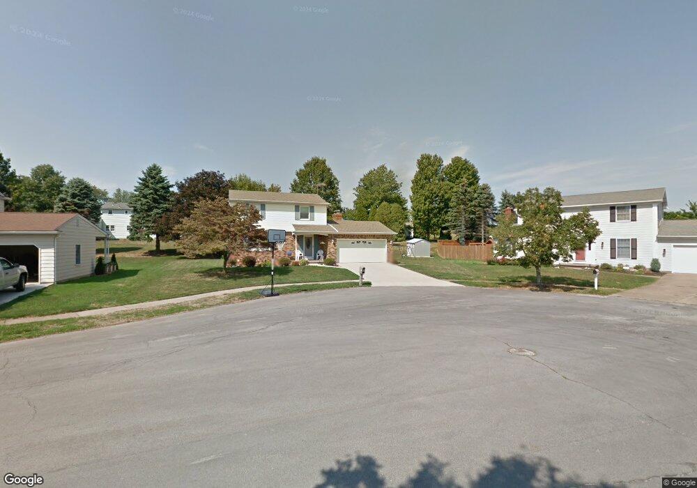
2006 Devon Ln Erie, PA 16509
Millcreek NeighborhoodEstimated Value: $212,000 - $303,888
3
Beds
2
Baths
1,856
Sq Ft
$145/Sq Ft
Est. Value
About This Home
This home is located at 2006 Devon Ln, Erie, PA 16509 and is currently estimated at $269,972, approximately $145 per square foot. 2006 Devon Ln is a home located in Erie County with nearby schools including McDowell High School, Chestnut Hill Elementary School, and James S. Wilson Middle School.
Ownership History
Date
Name
Owned For
Owner Type
Purchase Details
Closed on
May 22, 1998
Sold by
Dugan Emil R and Dugan Barbara A
Bought by
Malina Jeffrey J and Malina Janet P
Current Estimated Value
Home Financials for this Owner
Home Financials are based on the most recent Mortgage that was taken out on this home.
Original Mortgage
$97,500
Outstanding Balance
$18,935
Interest Rate
7.03%
Estimated Equity
$251,037
Create a Home Valuation Report for This Property
The Home Valuation Report is an in-depth analysis detailing your home's value as well as a comparison with similar homes in the area
Home Values in the Area
Average Home Value in this Area
Purchase History
| Date | Buyer | Sale Price | Title Company |
|---|---|---|---|
| Malina Jeffrey J | $130,000 | -- |
Source: Public Records
Mortgage History
| Date | Status | Borrower | Loan Amount |
|---|---|---|---|
| Open | Malina Jeffrey J | $97,500 | |
| Closed | Malina Jeffrey J | $19,500 |
Source: Public Records
Tax History Compared to Growth
Tax History
| Year | Tax Paid | Tax Assessment Tax Assessment Total Assessment is a certain percentage of the fair market value that is determined by local assessors to be the total taxable value of land and additions on the property. | Land | Improvement |
|---|---|---|---|---|
| 2025 | $4,646 | $169,040 | $39,600 | $129,440 |
| 2024 | $4,524 | $169,040 | $39,600 | $129,440 |
| 2023 | $4,271 | $169,040 | $39,600 | $129,440 |
| 2022 | $4,103 | $169,040 | $39,600 | $129,440 |
| 2021 | $4,059 | $169,040 | $39,600 | $129,440 |
| 2020 | $4,017 | $169,040 | $39,600 | $129,440 |
| 2019 | $3,950 | $169,040 | $39,600 | $129,440 |
| 2018 | $3,853 | $169,040 | $39,600 | $129,440 |
| 2017 | $3,844 | $169,040 | $39,600 | $129,440 |
| 2016 | $4,525 | $169,040 | $39,600 | $129,440 |
| 2015 | $4,482 | $169,040 | $39,600 | $129,440 |
| 2014 | $1,434 | $169,040 | $39,600 | $129,440 |
Source: Public Records
Map
Nearby Homes
- 4636 Wynburne Ave
- 1842 Zimmerly Rd
- 1828 Zimmerly Rd
- 4905 Conway St
- 4333 Caroline Dr
- 4830 Greenwood St
- 4002 Harvard Rd
- 1718 W 56th St
- 5005 Zuck Rd Unit 7
- 5005 Zuck Rd Unit 123
- 5005 Zuck Rd Unit 61
- 1918 W 38th St
- 2381 Zimmerly Rd
- 1821 W 37th St
- 0 Village Common Dr Unit 174040
- 0 Village Common Dr Unit 174038
- 1530 W 43rd St
- 3621 Ellsworth Ave
- 0 Peach St
- 1425 Nicholson St
- 2005 Charleston Ave
- 2014 Devon Ln
- 2002 Devon Ln
- 2015 Charleston Ave
- 2001 Charleston Ave
- 2020 Devon Ln
- 2001 Devon Ln
- 2005 Devon Ln
- 2023 Charleston Ave
- 2015 Devon Ln
- 2023 Devon Ln
- 2028 Devon Ln
- 2002 Charleston Ave
- 2031 Charleston Ave
- 2014 Charleston Ave
- 2006 Charleston Ave
- 2029 Devon Ln
- 2012 Enfield Ln
- 2020 Charleston Ave
- 2008 Enfield Ln