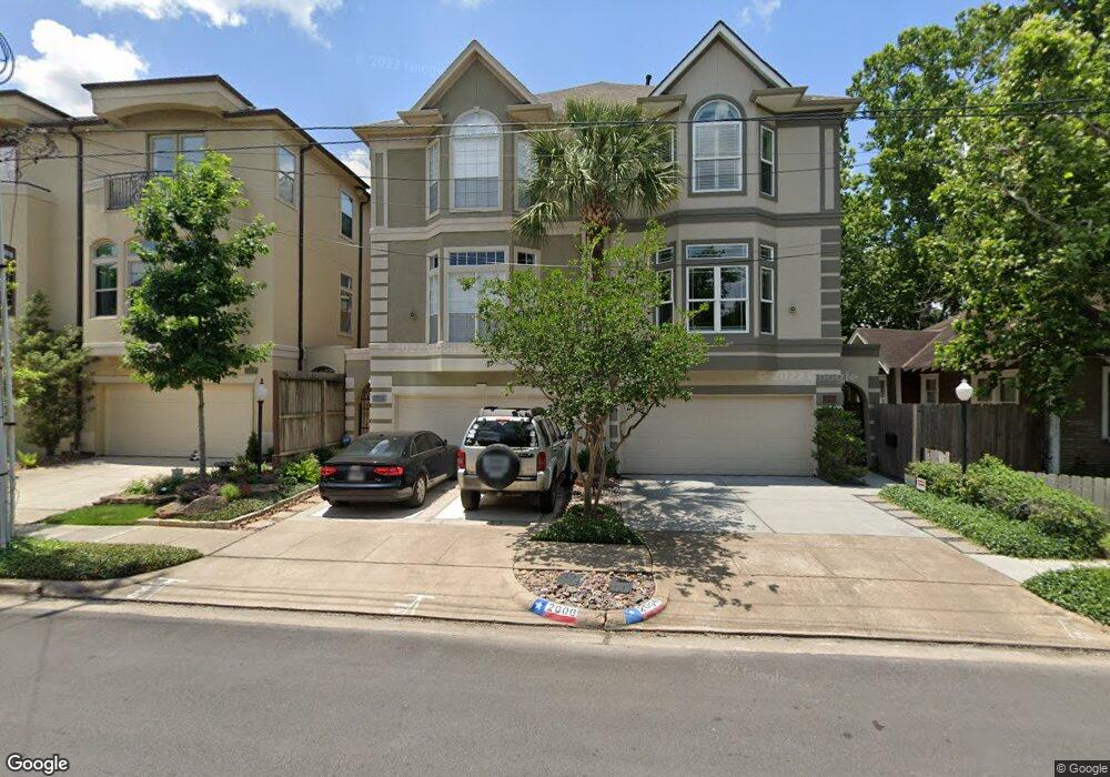
2006 Driscoll St Houston, TX 77019
Montrose NeighborhoodEstimated Value: $604,277 - $796,000
3
Beds
4
Baths
2,822
Sq Ft
$249/Sq Ft
Est. Value
About This Home
This home is located at 2006 Driscoll St, Houston, TX 77019 and is currently estimated at $703,319, approximately $249 per square foot. 2006 Driscoll St is a home located in Harris County with nearby schools including Baker Montessori, Lanier Middle School, and Lamar High School.
Ownership History
Date
Name
Owned For
Owner Type
Purchase Details
Closed on
Sep 25, 2024
Sold by
Thompson Deborah L and Thompson Bartt L
Bought by
Torrez Fabiano Figueiredo and Demiranda Felippe Batista
Current Estimated Value
Purchase Details
Closed on
Sep 23, 2013
Sold by
Weiss James D
Bought by
Stummer John R and Stummer Lisa M
Home Financials for this Owner
Home Financials are based on the most recent Mortgage that was taken out on this home.
Original Mortgage
$483,444
Interest Rate
4.45%
Mortgage Type
VA
Purchase Details
Closed on
Oct 11, 1996
Sold by
Elron Enterprises Inc
Bought by
Weiss James D
Purchase Details
Closed on
Jan 28, 1994
Sold by
Lowry Ann Marcelle
Bought by
Derudder Louis
Create a Home Valuation Report for This Property
The Home Valuation Report is an in-depth analysis detailing your home's value as well as a comparison with similar homes in the area
Home Values in the Area
Average Home Value in this Area
Purchase History
| Date | Buyer | Sale Price | Title Company |
|---|---|---|---|
| Torrez Fabiano Figueiredo | -- | None Listed On Document | |
| Stummer John R | -- | Chicago Title Company | |
| Weiss James D | -- | Regency Title | |
| Derudder Louis | -- | -- |
Source: Public Records
Mortgage History
| Date | Status | Borrower | Loan Amount |
|---|---|---|---|
| Previous Owner | Stummer John R | $483,444 |
Source: Public Records
Tax History Compared to Growth
Tax History
| Year | Tax Paid | Tax Assessment Tax Assessment Total Assessment is a certain percentage of the fair market value that is determined by local assessors to be the total taxable value of land and additions on the property. | Land | Improvement |
|---|---|---|---|---|
| 2025 | $8,831 | $650,448 | $275,000 | $375,448 |
| 2024 | $8,831 | $578,464 | $275,000 | $303,464 |
| 2023 | $8,831 | $602,650 | $275,000 | $327,650 |
| 2022 | $12,116 | $550,245 | $275,000 | $275,245 |
| 2021 | $12,958 | $556,000 | $262,500 | $293,500 |
| 2020 | $12,918 | $533,441 | $262,500 | $270,941 |
| 2019 | $13,644 | $560,000 | $150,000 | $410,000 |
| 2018 | $9,671 | $490,194 | $150,000 | $340,194 |
| 2017 | $13,008 | $490,194 | $150,000 | $340,194 |
| 2016 | $13,586 | $512,000 | $150,000 | $362,000 |
| 2015 | $9,846 | $512,000 | $150,000 | $362,000 |
| 2014 | $9,846 | $543,010 | $131,250 | $411,760 |
Source: Public Records
Map
Nearby Homes
- 2008 Hazard St
- 2103 Hazard St
- 2026 Morse St
- 2003 Morse St
- 2112 Mcduffie St
- 1909 Brun St Unit 17
- 1909 Brun St Unit 16
- 1956 Vermont St
- 1822 Morse St Unit A
- 1810 Hazard St Unit A
- 1906 Woodhead St
- 2011 Woodhead St
- 2027 Huldy St
- 2309 Driscoll St
- 2113 Huldy St
- 2115 Huldy St
- 2117 Huldy St
- 2119 Huldy St
- 1902 Elmen St
- 1712 Mcduffie St
- 2004 Driscoll St
- 2010 Driscoll St
- 2012 Driscoll St
- 2002 Driscoll St
- 2014 Driscoll St
- 2005 Hazard St
- 2009 Hazard St
- 2011 Hazard St
- 2018 Driscoll St
- 2013 Hazard St
- 2001 Hazard St Unit 4
- 2007 Driscoll St
- 2015 Hazard St
- 2020 Driscoll St
- 2005 Driscoll St
- 2009 Driscoll St
- 2017 Hazard St
- 2017 Hazard St
- 2017 Hazard St Unit B
- 2017 Hazard St Unit A