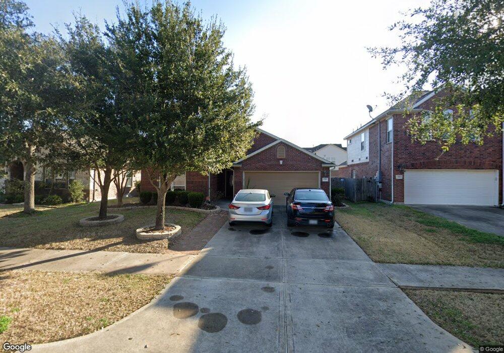
2006 Foxgate Dr Rosenberg, TX 77471
Estimated Value: $286,636 - $324,000
3
Beds
2
Baths
2,040
Sq Ft
$149/Sq Ft
Est. Value
About This Home
This home is located at 2006 Foxgate Dr, Rosenberg, TX 77471 and is currently estimated at $304,159, approximately $149 per square foot. 2006 Foxgate Dr is a home with nearby schools including Jackson Elementary School, Briscoe Junior High School, and Foster High School.
Ownership History
Date
Name
Owned For
Owner Type
Purchase Details
Closed on
Dec 5, 2012
Sold by
Rh Of Texas Limited Partnership
Bought by
Baird Jennifer A
Current Estimated Value
Home Financials for this Owner
Home Financials are based on the most recent Mortgage that was taken out on this home.
Original Mortgage
$169,312
Outstanding Balance
$117,581
Interest Rate
3.42%
Mortgage Type
FHA
Estimated Equity
$186,578
Purchase Details
Closed on
Feb 1, 2007
Sold by
572-Three Ltd
Bought by
Baird Jennifer A
Create a Home Valuation Report for This Property
The Home Valuation Report is an in-depth analysis detailing your home's value as well as a comparison with similar homes in the area
Purchase History
| Date | Buyer | Sale Price | Title Company |
|---|---|---|---|
| Baird Jennifer A | -- | None Available | |
| Baird Jennifer A | -- | -- |
Source: Public Records
Mortgage History
| Date | Status | Borrower | Loan Amount |
|---|---|---|---|
| Open | Baird Jennifer A | $169,312 |
Source: Public Records
Tax History
| Year | Tax Paid | Tax Assessment Tax Assessment Total Assessment is a certain percentage of the fair market value that is determined by local assessors to be the total taxable value of land and additions on the property. | Land | Improvement |
|---|---|---|---|---|
| 2025 | $5,817 | $298,786 | $51,597 | $247,189 |
| 2024 | $5,817 | $275,856 | $15,621 | $260,235 |
| 2023 | $5,259 | $250,778 | $0 | $269,680 |
| 2022 | $5,665 | $227,980 | $0 | $234,680 |
| 2021 | $5,792 | $207,250 | $39,690 | $167,560 |
| 2020 | $5,804 | $205,650 | $39,690 | $165,960 |
| 2019 | $5,971 | $202,140 | $39,690 | $162,450 |
| 2018 | $5,981 | $202,130 | $37,800 | $164,330 |
| 2017 | $5,923 | $199,830 | $37,800 | $162,030 |
| 2016 | $5,814 | $196,150 | $37,800 | $158,350 |
| 2015 | $3,406 | $181,540 | $37,800 | $143,740 |
| 2014 | $3,043 | $161,440 | $37,800 | $123,640 |
Source: Public Records
Map
Nearby Homes
- 6410 Oxford Lake Dr
- 2735 Farm To Market Road 723
- 2019 Preston Park
- 6027 Prince Place Dr
- 6014 Prince Place Dr
- 2027 Wembley Way
- 5922 Watford Bend
- 5819 Watford Bend
- 5919 Micah Ln
- 0 Fm 723 Rd
- 2227 Leonetti Ln
- 5814 Wayne Way
- 2703 Clapbread Ln
- 2711 Clapbread Ln
- 2819 Clapbread Ln
- 2822 Clapbread Ln
- 2810 Clapbread Ln
- 2806 Clapbread Ln
- 2811 Clapbread Ln
- 2815 Clapbread Ln
- 2010 Foxgate Dr
- 2002 Foxgate Dr
- 6318 Carnaby Ln
- 6318 Carnaby Ln
- 2014 Foxgate Dr
- 6314 Carnaby Ln
- 6402 Carnaby Ln
- 6323 Carnaby Ln
- 6327 Carnaby Ln
- 6406 Carnaby Ln
- 6319 Carnaby Ln
- 2018 Foxgate Dr
- 2015 Foxgate Dr
- 6315 Carnaby Ln
- 2011 Queensroch
- 6407 Carnaby Ln
- 2007 Queensroch
- 2102 Foxgate Dr
- 6311 Carnaby Ln
- 6410 Carnaby Ln
Your Personal Tour Guide
Ask me questions while you tour the home.