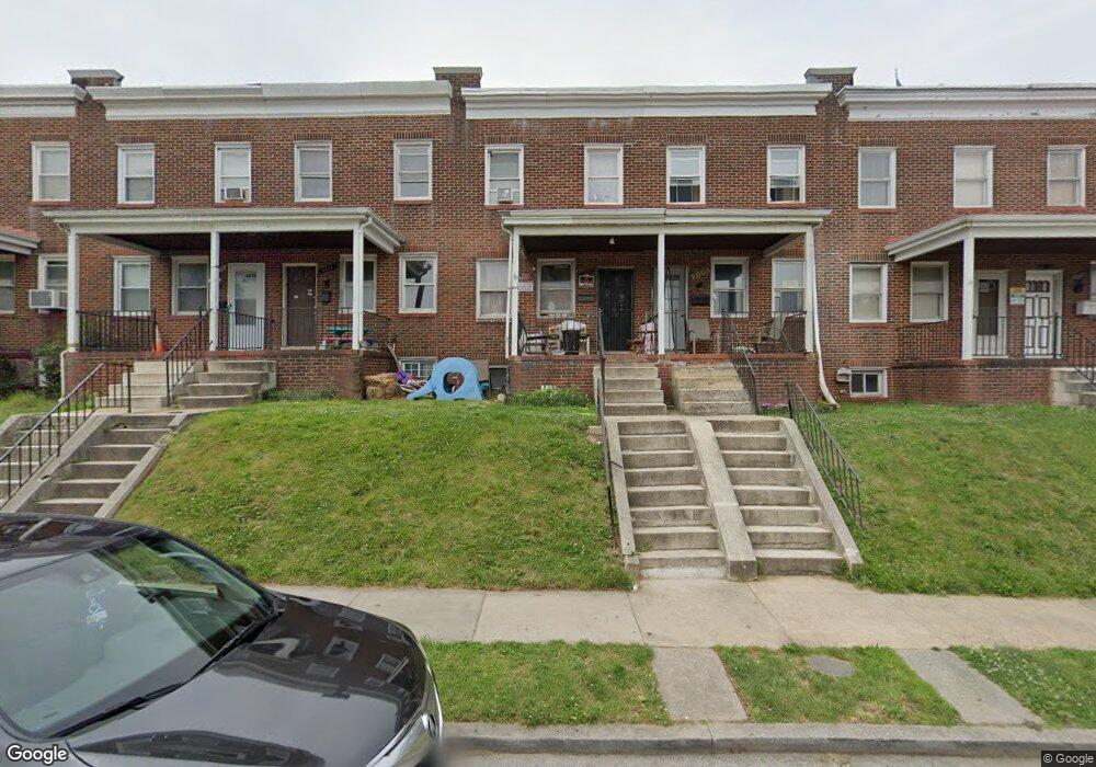
2006 Griffis Ave Baltimore, MD 21230
Morrell Park NeighborhoodEstimated Value: $104,721 - $129,000
--
Bed
1
Bath
1,242
Sq Ft
$94/Sq Ft
Est. Value
About This Home
This home is located at 2006 Griffis Ave, Baltimore, MD 21230 and is currently estimated at $116,861, approximately $94 per square foot. 2006 Griffis Ave is a home located in Baltimore City with nearby schools including Morrell Park Elementary/Middle School, Booker T. Washington Middle School, and Edmondson Westside High School.
Ownership History
Date
Name
Owned For
Owner Type
Purchase Details
Closed on
Mar 2, 1999
Sold by
Linthicum Charles K
Bought by
Linthicum Darlene
Current Estimated Value
Purchase Details
Closed on
Sep 20, 1993
Sold by
Mick M R
Bought by
Linthicum Charles K
Home Financials for this Owner
Home Financials are based on the most recent Mortgage that was taken out on this home.
Original Mortgage
$62,400
Interest Rate
7.16%
Create a Home Valuation Report for This Property
The Home Valuation Report is an in-depth analysis detailing your home's value as well as a comparison with similar homes in the area
Home Values in the Area
Average Home Value in this Area
Purchase History
| Date | Buyer | Sale Price | Title Company |
|---|---|---|---|
| Linthicum Darlene | $29,455 | -- | |
| Linthicum Charles K | $62,000 | -- |
Source: Public Records
Mortgage History
| Date | Status | Borrower | Loan Amount |
|---|---|---|---|
| Previous Owner | Linthicum Charles K | $62,400 | |
| Closed | Linthicum Charles K | $3,800 |
Source: Public Records
Tax History Compared to Growth
Tax History
| Year | Tax Paid | Tax Assessment Tax Assessment Total Assessment is a certain percentage of the fair market value that is determined by local assessors to be the total taxable value of land and additions on the property. | Land | Improvement |
|---|---|---|---|---|
| 2025 | $1,452 | $68,400 | -- | -- |
| 2024 | $1,452 | $61,800 | $0 | $0 |
| 2023 | $1,303 | $55,200 | $12,000 | $43,200 |
| 2022 | $1,303 | $55,200 | $12,000 | $43,200 |
| 2021 | $1,303 | $55,200 | $12,000 | $43,200 |
| 2020 | $1,075 | $50,100 | $12,000 | $38,100 |
| 2019 | $1,069 | $50,100 | $12,000 | $38,100 |
| 2018 | $649 | $50,100 | $12,000 | $38,100 |
| 2017 | $465 | $71,100 | $0 | $0 |
| 2016 | $528 | $71,100 | $0 | $0 |
| 2015 | $528 | $71,100 | $0 | $0 |
| 2014 | $528 | $117,200 | $0 | $0 |
Source: Public Records
Map
Nearby Homes
- 1933 Griffis Ave
- 1915 Griffis Ave
- 2030 Griffis Ave
- 2507 Washington Blvd
- 2315 Washington Blvd
- 1715 Spence St
- 1703 - 1707 1/2 Spence St
- 1707 Harman Ave
- 2104 Whistler Ave
- 2000 Hollins Ferry Rd
- 2527 Tolley St
- 2305 Herkimer St
- 1637 Spence St
- 1918 Parksley Ave
- 0 Harman Ave
- 2129 Parksley Ave
- 1962 Sponson St
- 1710 Wickes Ave
- 2809 Washington Blvd
- 1803 Casadel Ave
- 2008 Griffis Ave
- 2004 Griffis Ave
- 2010 Griffis Ave
- 2002 Griffis Ave
- 2000 Griffis Ave
- 2014 Griffis Ave
- 2016 Griffis Ave
- 2018 Griffis Ave
- 2020 Griffis Ave
- 2007 Grinnalds Ave
- 2005 Grinnalds Ave
- 2009 Grinnalds Ave
- 2003 Grinnalds Ave
- 1934 Griffis Ave
- 2011 Grinnalds Ave
- 2001 Grinnalds Ave
- 2013 Grinnalds Ave
- 2022 Griffis Ave
- 2015 Grinnalds Ave
- 1932 Griffis Ave