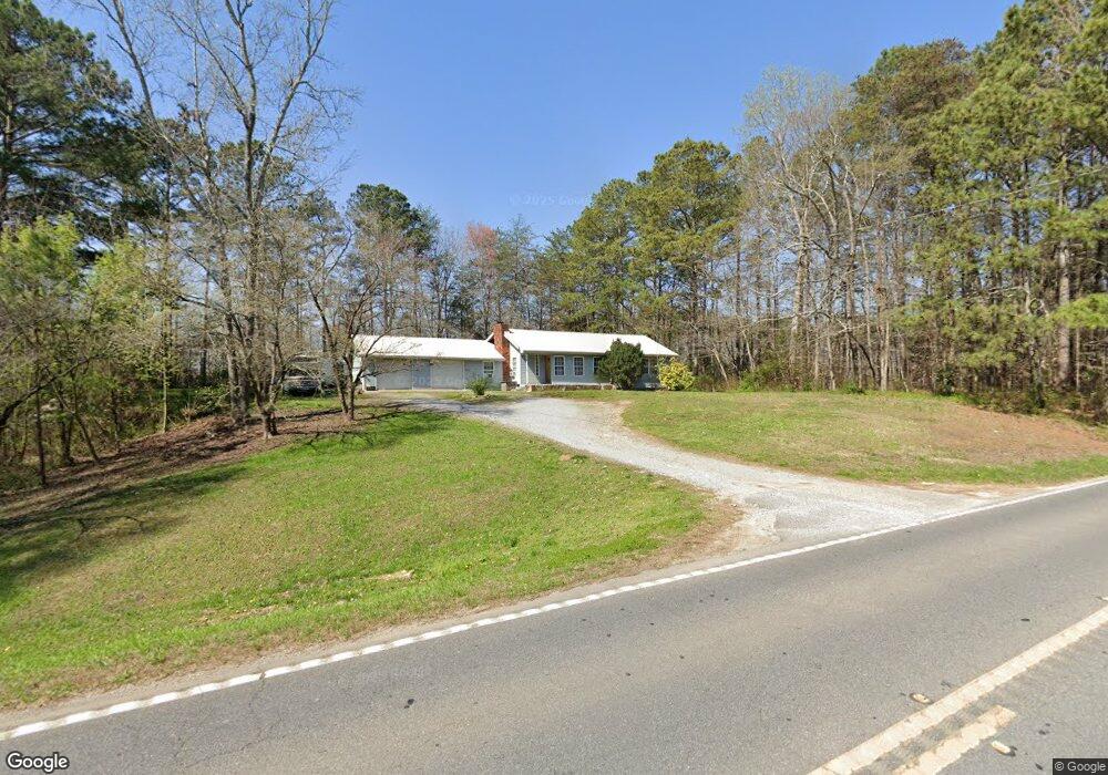
2006 Highway 95 Rock Spring, GA 30739
Rock Spring NeighborhoodEstimated Value: $216,000 - $278,000
--
Bed
2
Baths
1,204
Sq Ft
$207/Sq Ft
Est. Value
About This Home
This home is located at 2006 Highway 95, Rock Spring, GA 30739 and is currently estimated at $249,814, approximately $207 per square foot. 2006 Highway 95 is a home located in Walker County with nearby schools including Rock Spring Elementary School, Lafayette High School, and Alice M Daley Adventist School.
Ownership History
Date
Name
Owned For
Owner Type
Purchase Details
Closed on
Jul 9, 2015
Sold by
Compston Nancy Lee
Bought by
Compston Steve
Current Estimated Value
Purchase Details
Closed on
Aug 23, 2012
Sold by
Compston Steve
Bought by
Compston Nancy Lee
Purchase Details
Closed on
Apr 4, 1997
Sold by
Clark Mccoy and Betty Ann C
Bought by
Compston Steve and Nancy Lee
Purchase Details
Closed on
Aug 11, 1970
Bought by
Clark Mccoy and Betty Ann C
Create a Home Valuation Report for This Property
The Home Valuation Report is an in-depth analysis detailing your home's value as well as a comparison with similar homes in the area
Home Values in the Area
Average Home Value in this Area
Purchase History
| Date | Buyer | Sale Price | Title Company |
|---|---|---|---|
| Compston Steve | -- | -- | |
| Compston Nancy Lee | -- | -- | |
| Compston Steve | -- | -- | |
| Clark Mccoy | -- | -- |
Source: Public Records
Tax History Compared to Growth
Tax History
| Year | Tax Paid | Tax Assessment Tax Assessment Total Assessment is a certain percentage of the fair market value that is determined by local assessors to be the total taxable value of land and additions on the property. | Land | Improvement |
|---|---|---|---|---|
| 2024 | $1,740 | $77,341 | $10,978 | $66,363 |
| 2023 | $1,658 | $71,854 | $8,713 | $63,141 |
| 2022 | $1,571 | $62,474 | $7,450 | $55,024 |
| 2021 | $1,308 | $46,210 | $7,450 | $38,760 |
| 2020 | $1,171 | $39,364 | $7,450 | $31,914 |
| 2019 | $1,192 | $39,364 | $7,450 | $31,914 |
| 2018 | $1,042 | $39,364 | $7,450 | $31,914 |
| 2017 | $1,300 | $39,364 | $7,450 | $31,914 |
| 2016 | $1,093 | $39,364 | $7,450 | $31,914 |
| 2015 | $1,100 | $39,244 | $13,024 | $26,220 |
| 2014 | $1,005 | $39,244 | $13,024 | $26,220 |
| 2013 | -- | $39,244 | $13,024 | $26,220 |
Source: Public Records
Map
Nearby Homes
- 0 Cheshire Crossing Dr Unit 1387793
- 0 E Teems Rd Unit 7573954
- 5602 Georgia 95
- 00 Georgia 95
- 449 W Watts Rd
- 0 Tarvin Rd Unit 1523862
- 10180 Us Highway 27
- 1003 Highway N Old 27
- 287 E Teems Rd
- 1370 Old Highway 27
- 265 Rodeo Dr
- 76 Side Kick Ln
- 15 Willow Cir
- 23 Willow Cir
- 701 Bicentennial Trail
- 16 Willow Cir
- 11 Willow Cir
- The Pearson Plan at Laurel Ridge
- 105 Hankins Rd
- 1978 Highway 95
- 2082 Highway 95
- 1939 Highway 95
- 144 Hankins Rd
- 1890 Highway 95
- 5 Beaumont Rd
- 3 Beaumont Rd
- 4 Beaumont Rd
- 2 Beaumont Rd
- 1897 Highway 95
- 1750 Highway 95
- 2175 Highway 95
- 87 Hankins Rd
- 1750 Georgia 95
- 106 Beaumont Rd
- 226 Hankins Rd
- 60 Beaumont Rd
- 204 Hankins Rd
- 185 Beaumont Rd