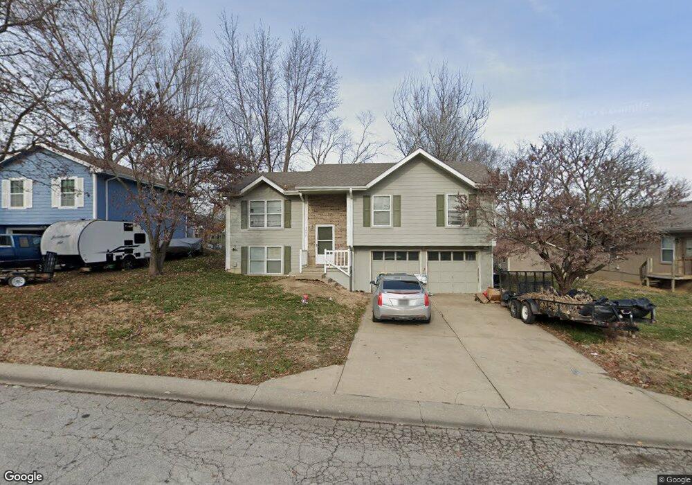
2006 Kimberly Dr Excelsior Springs, MO 64024
Estimated Value: $216,486 - $269,000
3
Beds
1
Bath
1,116
Sq Ft
$212/Sq Ft
Est. Value
About This Home
This home is located at 2006 Kimberly Dr, Excelsior Springs, MO 64024 and is currently estimated at $236,872, approximately $212 per square foot. 2006 Kimberly Dr is a home located in Clay County with nearby schools including Excelsior Springs High School.
Ownership History
Date
Name
Owned For
Owner Type
Purchase Details
Closed on
Jun 18, 1999
Sold by
Foster Monte D and Foster Tamela L
Bought by
Mcelwee Simmons Kimberly A
Current Estimated Value
Home Financials for this Owner
Home Financials are based on the most recent Mortgage that was taken out on this home.
Original Mortgage
$65,550
Outstanding Balance
$19,363
Interest Rate
8.5%
Estimated Equity
$217,509
Create a Home Valuation Report for This Property
The Home Valuation Report is an in-depth analysis detailing your home's value as well as a comparison with similar homes in the area
Home Values in the Area
Average Home Value in this Area
Purchase History
| Date | Buyer | Sale Price | Title Company |
|---|---|---|---|
| Mcelwee Simmons Kimberly A | $63,960 | First American Title Co |
Source: Public Records
Mortgage History
| Date | Status | Borrower | Loan Amount |
|---|---|---|---|
| Open | Mcelwee Simmons Kimberly A | $65,550 |
Source: Public Records
Tax History Compared to Growth
Tax History
| Year | Tax Paid | Tax Assessment Tax Assessment Total Assessment is a certain percentage of the fair market value that is determined by local assessors to be the total taxable value of land and additions on the property. | Land | Improvement |
|---|---|---|---|---|
| 2025 | $1,911 | $31,010 | -- | -- |
| 2024 | $1,911 | $27,250 | -- | -- |
| 2023 | $1,899 | $27,250 | $0 | $0 |
| 2022 | $1,715 | $24,210 | $0 | $0 |
| 2021 | $1,722 | $24,206 | $3,800 | $20,406 |
| 2020 | $1,487 | $20,330 | $3,420 | $16,910 |
| 2019 | $1,486 | $20,330 | $3,420 | $16,910 |
| 2018 | $1,357 | $18,510 | $0 | $0 |
| 2017 | $1,193 | $18,510 | $3,420 | $15,090 |
| 2016 | $1,193 | $16,680 | $3,420 | $13,260 |
| 2015 | $1,204 | $16,680 | $3,420 | $13,260 |
| 2014 | $1,215 | $16,680 | $3,420 | $13,260 |
Source: Public Records
Map
Nearby Homes
- 609 Kimberly Dr
- 617 Lodwick Ln
- 2017 Karlton Way
- 2116 Bradford Place
- 206 Crest Dr
- 2081 Rock Bridge Pkwy
- Lot 2 Wornall Rd
- 2017 Wornall Rd
- 106 Sunset Ln
- 240 Rock Bridge Pkwy
- 220 Rock Bridge Pkwy
- 2021 Riverstone Dr
- 125 Crown Hill Rd
- 1318 Kristie Cir
- 25421 Marel Rd
- 112 Delores St
- 2210 Piedmont Place
- 1104 Frontier St
- 328 Virginia Rd
- 100 Sherri Ln
- 2008 Kimberly Dr
- 700 Kimberly Ct
- 704 Kimberly Ct
- 2010 Kimberly Dr
- 705 Kountry Ln
- 706 Kimberly Ct
- 2007 Kimberly Dr
- 2005 Kimberly Dr
- 2009 Kimberly Dr
- 707 Kountry Ln
- 2003 Kimberly Dr
- 2002 Kimberly Dr
- 2011 Kimberly Dr
- 709 Kountry Ln
- 2001 Kimberly Dr
- 705 Kimberly Ct
- 2008 Kary Ln
- 707 Kimberly Ct
- 700 Kountry Ln
- 702 Kountry Ln