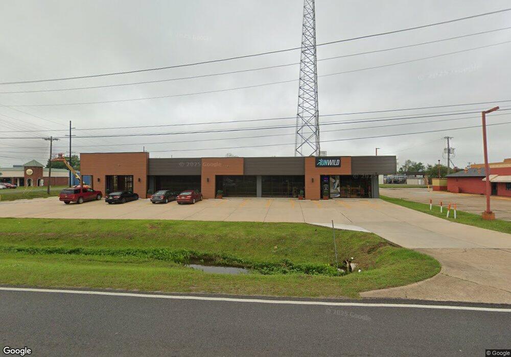
2006 Macarthur Dr Alexandria, LA 71301
Estimated Value: $137,000 - $1,212,333
--
Bed
--
Bath
--
Sq Ft
--
Built
About This Home
This home is located at 2006 Macarthur Dr, Alexandria, LA 71301 and is currently estimated at $674,667. 2006 Macarthur Dr is a home located in Rapides Parish with nearby schools including Cherokee Elementary School, Scott M. Brame Middle School, and Bolton High School.
Ownership History
Date
Name
Owned For
Owner Type
Purchase Details
Closed on
Dec 9, 2024
Sold by
Central Louisiana Cellular Llc
Bought by
Sagemark Holdings Llc
Current Estimated Value
Purchase Details
Closed on
Mar 6, 2023
Sold by
Central Louisiana Cellular Llc
Bought by
Sagemark Holdings Llc
Home Financials for this Owner
Home Financials are based on the most recent Mortgage that was taken out on this home.
Original Mortgage
$862,500
Interest Rate
6.13%
Mortgage Type
New Conventional
Purchase Details
Closed on
Aug 19, 2011
Sold by
Centennial Communications Corp
Bought by
Central Louisiana Cellular Llc
Create a Home Valuation Report for This Property
The Home Valuation Report is an in-depth analysis detailing your home's value as well as a comparison with similar homes in the area
Home Values in the Area
Average Home Value in this Area
Purchase History
| Date | Buyer | Sale Price | Title Company |
|---|---|---|---|
| Sagemark Holdings Llc | -- | None Listed On Document | |
| Sagemark Holdings Llc | $1,150,000 | None Listed On Document | |
| Central Louisiana Cellular Llc | $1,300,000 | None Available |
Source: Public Records
Mortgage History
| Date | Status | Borrower | Loan Amount |
|---|---|---|---|
| Previous Owner | Sagemark Holdings Llc | $862,500 |
Source: Public Records
Tax History Compared to Growth
Tax History
| Year | Tax Paid | Tax Assessment Tax Assessment Total Assessment is a certain percentage of the fair market value that is determined by local assessors to be the total taxable value of land and additions on the property. | Land | Improvement |
|---|---|---|---|---|
| 2024 | $14,258 | $133,700 | $35,000 | $98,700 |
| 2023 | $158 | $1,456 | $0 | $1,456 |
| 2022 | $21,800 | $163,050 | $43,200 | $119,850 |
| 2021 | $19,100 | $163,050 | $43,200 | $119,850 |
| 2020 | $19,095 | $163,050 | $43,200 | $119,850 |
| 2019 | $15,098 | $163,050 | $43,200 | $119,850 |
| 2018 | $16,493 | $163,050 | $43,200 | $119,850 |
| 2017 | $16,574 | $163,050 | $43,200 | $119,850 |
| 2016 | $20,657 | $163,050 | $43,200 | $119,850 |
| 2015 | $19,064 | $151,000 | $40,000 | $111,000 |
| 2013 | $18,401 | $151,000 | $40,000 | $111,000 |
Source: Public Records
Map
Nearby Homes
- 2113 Kimberly St
- 4800 Masonic Dr
- 2119 Wettermark St
- 6516 Masonic Dr
- 3700 Masonic Dr
- 3639 Prescott Rd
- 3505 Prescott Rd
- 1535 Mohon St
- 1907 Plantation Dr
- 1802 Shirley Park Place
- 3462 Halsey St
- 0 Masonic Dr
- 2330 Greenway Dr
- 1710 Plantation Dr
- 1803 Shannon Rd
- 5501 Navaho Trail
- 1633 Fulton Dr
- 0 Llewellyn Dr
- 0 North Blvd
- 1433 Plantation Dr
- 2006 Macarthur Dr Unit Lease
- 2006 Macarthur Dr Unit Lease
- 1730 Metro Dr
- 2015 Gus Kaplan Dr
- 2102 Macarthur Dr
- 2124 Macarthur Dr
- 2130 Macarthur Dr
- 2006 Gus Kaplan Dr
- 3919 Prescott Rd
- 2002 Gus Kaplan Dr
- 2119 Mohon St
- 2115 Mohon St
- 2111 Mohon St
- 2107 Mohon St
- 2001 Macarthur Dr
- 2015 Macarthur Dr
- 1898 Macarthur Dr
- 2118 Mohon St
- 2103 Mohon St
- 2015 Mohon St