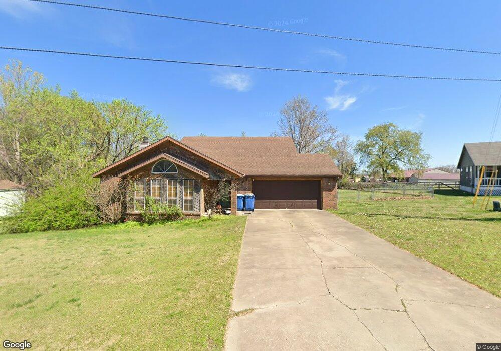
2006 Mcnair St Pea Ridge, AR 72751
Estimated Value: $277,836 - $296,000
--
Bed
2
Baths
1,546
Sq Ft
$184/Sq Ft
Est. Value
About This Home
This home is located at 2006 Mcnair St, Pea Ridge, AR 72751 and is currently estimated at $285,209, approximately $184 per square foot. 2006 Mcnair St is a home located in Benton County with nearby schools including Pea Ridge Primary School, Pea Ridge Intermediate School, and Pea Ridge Junior High School.
Ownership History
Date
Name
Owned For
Owner Type
Purchase Details
Closed on
Jun 19, 1997
Bought by
Clark Tr
Current Estimated Value
Purchase Details
Closed on
Apr 17, 1996
Bought by
Wilkerson 2Lts
Purchase Details
Closed on
Sep 25, 1995
Bought by
Erwin 2 Lts
Purchase Details
Closed on
Jul 29, 1993
Bought by
Clark
Purchase Details
Closed on
Mar 19, 1993
Bought by
Nesselhauf Rev Trust
Purchase Details
Closed on
Feb 23, 1993
Bought by
Nesselhauf Rev Trust
Purchase Details
Closed on
Sep 18, 1985
Bought by
Clark Rev Trust
Create a Home Valuation Report for This Property
The Home Valuation Report is an in-depth analysis detailing your home's value as well as a comparison with similar homes in the area
Home Values in the Area
Average Home Value in this Area
Purchase History
| Date | Buyer | Sale Price | Title Company |
|---|---|---|---|
| Clark Tr | -- | -- | |
| Wilkerson 2Lts | $92,000 | -- | |
| Erwin 2 Lts | $16,000 | -- | |
| Clark | -- | -- | |
| Nesselhauf Rev Trust | -- | -- | |
| Nesselhauf Rev Trust | -- | -- | |
| Clark Rev Trust | -- | -- |
Source: Public Records
Tax History Compared to Growth
Tax History
| Year | Tax Paid | Tax Assessment Tax Assessment Total Assessment is a certain percentage of the fair market value that is determined by local assessors to be the total taxable value of land and additions on the property. | Land | Improvement |
|---|---|---|---|---|
| 2025 | $1,477 | $45,298 | $6,400 | $38,898 |
| 2024 | $1,446 | $45,298 | $6,400 | $38,898 |
| 2023 | $1,378 | $29,900 | $5,600 | $24,300 |
| 2022 | $1,001 | $29,900 | $5,600 | $24,300 |
| 2021 | $926 | $29,900 | $5,600 | $24,300 |
| 2020 | $905 | $21,060 | $2,800 | $18,260 |
| 2019 | $905 | $21,060 | $2,800 | $18,260 |
| 2018 | $930 | $21,060 | $2,800 | $18,260 |
| 2017 | $848 | $21,060 | $2,800 | $18,260 |
| 2016 | $848 | $21,060 | $2,800 | $18,260 |
| 2015 | $1,251 | $21,980 | $3,000 | $18,980 |
| 2014 | $901 | $21,980 | $3,000 | $18,980 |
Source: Public Records
Map
Nearby Homes
- 2288 Hayden Rd
- 1821 Woodhause Cir
- 2320 Barnes Cir
- 1600 Christman St
- 446 W Pickens Rd
- 725 Todd Cir
- 1703 Cuppett Cir
- 1701 Cuppett Cir
- 1717 Cuppett Cir
- 1715 Cuppett Cir
- 15658 Easterling Rd
- 1307 Joyce St
- 1305 Joyce St
- 2112 Decker Rd
- 2749 Hayden Rd
- 901 Carlock Dr
- 924 Hickman Dr
- 2105 Crandall Rd
- 2109 Crandall Rd
- 307 Trimble Ln
- 2010 Mcnair St
- 203 Mcnair St
- 228 Mcnair St
- 207 Mcnair St
- 2011 Mcnair St
- 211 Mcnair St
- 2014 Mcnair St
- 304 Mcnair St
- 2004 Park Cir
- 2008 Park Cir
- 2014 Mcnair Place
- 0 Mcnair Place Unit 720640
- 0 Mcnair Place Unit 1180876
- 308 Mcnair St
- 2050 Reed St
- (Lot 21/Block 5) Mcnair Place
- 2012 Park Cir
- 307 Mcnair St
- 2016 Mcnair Place
- 2007 Park Cir