2006 N Robert St Lakeside Marblehead, OH 43440
Estimated Value: $1,428,000 - $2,006,897
7
Beds
7
Baths
5,168
Sq Ft
$332/Sq Ft
Est. Value
About This Home
This home is located at 2006 N Robert St, Lakeside Marblehead, OH 43440 and is currently estimated at $1,717,449, approximately $332 per square foot. 2006 N Robert St is a home located in Ottawa County with nearby schools including Danbury Middle School and Danbury High School.
Ownership History
Date
Name
Owned For
Owner Type
Purchase Details
Closed on
Jan 27, 2021
Sold by
Stoyanoff Sandra L and Stoyanoff Mark W
Bought by
Marblehead Lake House Llc
Current Estimated Value
Purchase Details
Closed on
May 10, 2005
Sold by
Justice John M
Bought by
Justice Cheryl L and Cheryl L Trust Agreement
Purchase Details
Closed on
May 9, 2003
Sold by
Golden Falcon Construction Co
Bought by
Stoyanoff Sandra L and Stoyanoff Mark W
Home Financials for this Owner
Home Financials are based on the most recent Mortgage that was taken out on this home.
Original Mortgage
$370,000
Interest Rate
6.02%
Mortgage Type
Purchase Money Mortgage
Purchase Details
Closed on
Sep 17, 2001
Sold by
Francis Albert
Bought by
Trst Mark W Stoyanoff Trst
Create a Home Valuation Report for This Property
The Home Valuation Report is an in-depth analysis detailing your home's value as well as a comparison with similar homes in the area
Home Values in the Area
Average Home Value in this Area
Purchase History
| Date | Buyer | Sale Price | Title Company |
|---|---|---|---|
| Marblehead Lake House Llc | -- | None Available | |
| Mark W Stoyanoff Trust | -- | None Listed On Document | |
| Justice Cheryl L | -- | -- | |
| Stoyanoff Sandra L | -- | Chicago Title Insurance Co | |
| Trst Mark W Stoyanoff Trst | $100,000 | -- |
Source: Public Records
Mortgage History
| Date | Status | Borrower | Loan Amount |
|---|---|---|---|
| Previous Owner | Stoyanoff Sandra L | $370,000 |
Source: Public Records
Tax History Compared to Growth
Tax History
| Year | Tax Paid | Tax Assessment Tax Assessment Total Assessment is a certain percentage of the fair market value that is determined by local assessors to be the total taxable value of land and additions on the property. | Land | Improvement |
|---|---|---|---|---|
| 2024 | $22,393 | $657,010 | $232,764 | $424,246 |
| 2023 | $22,393 | $417,953 | $150,168 | $267,785 |
| 2022 | $14,429 | $417,953 | $150,168 | $267,785 |
| 2021 | $14,479 | $418,140 | $150,170 | $267,970 |
| 2020 | $9,236 | $252,430 | $68,810 | $183,620 |
| 2019 | $8,546 | $252,430 | $68,810 | $183,620 |
| 2018 | $8,697 | $252,430 | $68,810 | $183,620 |
| 2017 | $7,657 | $219,450 | $68,810 | $150,640 |
| 2016 | $7,581 | $219,450 | $68,810 | $150,640 |
| 2015 | $7,612 | $219,450 | $68,810 | $150,640 |
| 2014 | $7,238 | $219,450 | $68,810 | $150,640 |
| 2013 | $7,238 | $219,450 | $68,810 | $150,640 |
Source: Public Records
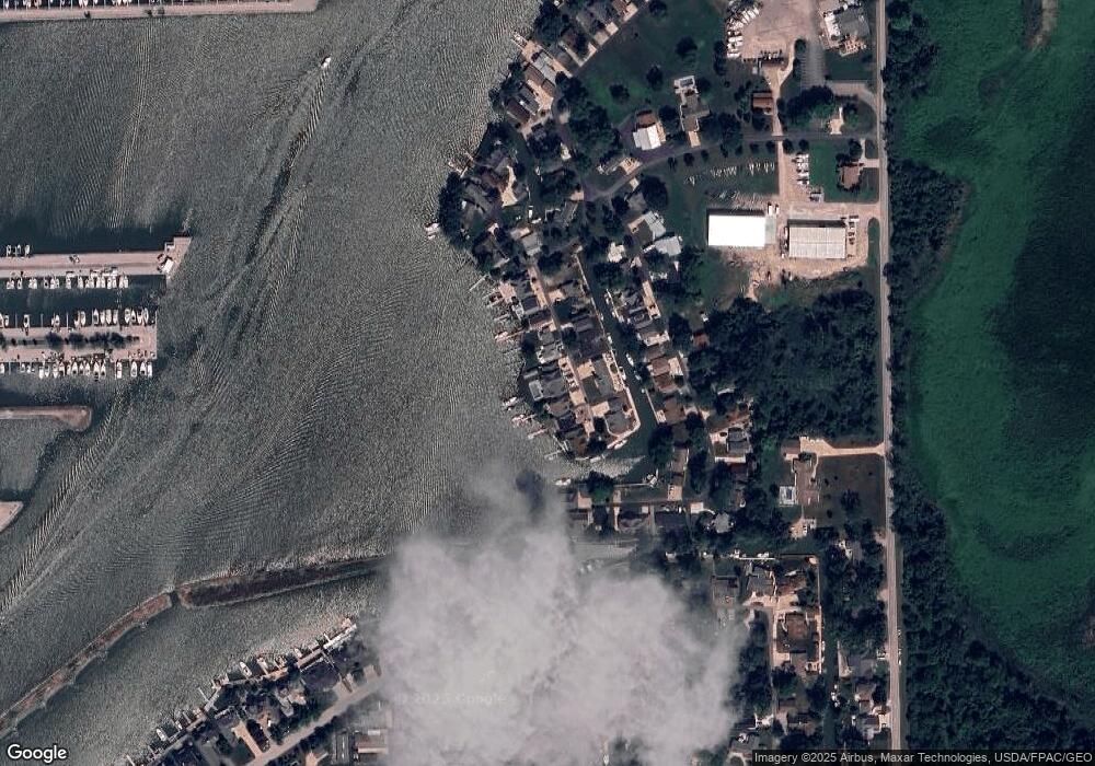
Map
Nearby Homes
- 1600 N Buck Rd Unit 6
- 1600 N Buck Rd Unit 34
- 1963 NE Catawba Rd Unit 411
- 1963 NE Catawba Rd Unit 431
- 1963 NE Catawba Rd Unit 422
- 1963 NE Catawba Rd Unit 421
- 1963 NE Catawba Rd Unit 531
- 5401 E Maritime Shoreway Unit D
- 5401 E Maritime Shoreway Unit C
- 5510 E Center Ln
- 1789 N Windward Dr Unit H11
- 1789 N Windward Dr
- 1777 N Windward Dr Unit H5
- 5475 E Mabel Dr
- 2629 NE Catawba Rd
- 0 N Windward Dr Unit 5144701
- 5411 E Channel Dr
- 2822 N Noreaster Cove Dr
- 2734 NE Catawba Rd
- 2888 N Coho Dr
- 2014 N Robert St
- 1996 N Robert St
- 2022 N Robert St
- 1988 Robert
- 2030 N Robert St
- 1970 Robert
- 1995 N Robert St
- 2021 N Robert St
- 1970 N Robert St
- 2021 N Robert Dr
- 1977 N Robert St
- 1977 N Robert St
- 2038 N Robert St
- 2029 N Robert St
- 2048 Robert Dr
- 2048 N Robert St
- 2047 N Robert St
- 2060 N Robert St
- 2006 N Nan Ave
- 2014 N Nan Ave