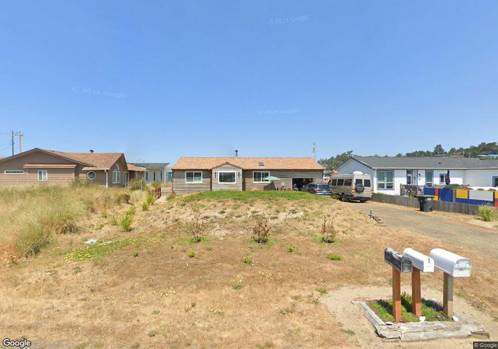
2006 NW Westward St Waldport, OR 97394
Bayshore NeighborhoodEstimated Value: $427,268 - $454,000
2
Beds
1
Bath
1,189
Sq Ft
$371/Sq Ft
Est. Value
About This Home
This home is located at 2006 NW Westward St, Waldport, OR 97394 and is currently estimated at $440,634, approximately $370 per square foot. 2006 NW Westward St is a home located in Lincoln County with nearby schools including Crestview Heights School and Waldport High and Middle School.
Ownership History
Date
Name
Owned For
Owner Type
Purchase Details
Closed on
Apr 29, 2022
Sold by
Asbury Raymond K
Bought by
Raymond And Nancy Asbury Trust
Current Estimated Value
Home Financials for this Owner
Home Financials are based on the most recent Mortgage that was taken out on this home.
Original Mortgage
$351,500
Interest Rate
7.08%
Mortgage Type
New Conventional
Purchase Details
Closed on
Apr 2, 2022
Sold by
Raymond And Nancy Asbury Trust
Bought by
Wiser Lloyd and Wiser Mary
Home Financials for this Owner
Home Financials are based on the most recent Mortgage that was taken out on this home.
Original Mortgage
$351,500
Interest Rate
7.08%
Mortgage Type
New Conventional
Create a Home Valuation Report for This Property
The Home Valuation Report is an in-depth analysis detailing your home's value as well as a comparison with similar homes in the area
Home Values in the Area
Average Home Value in this Area
Purchase History
| Date | Buyer | Sale Price | Title Company |
|---|---|---|---|
| Raymond And Nancy Asbury Trust | -- | None Listed On Document | |
| Wiser Lloyd | $370,000 | Western Title |
Source: Public Records
Mortgage History
| Date | Status | Borrower | Loan Amount |
|---|---|---|---|
| Previous Owner | Wiser Lloyd | $351,500 |
Source: Public Records
Tax History Compared to Growth
Tax History
| Year | Tax Paid | Tax Assessment Tax Assessment Total Assessment is a certain percentage of the fair market value that is determined by local assessors to be the total taxable value of land and additions on the property. | Land | Improvement |
|---|---|---|---|---|
| 2024 | $2,744 | $199,000 | -- | -- |
| 2023 | $2,690 | $193,210 | $0 | $0 |
| 2022 | $2,698 | $187,590 | $0 | $0 |
| 2021 | $2,490 | $182,130 | $0 | $0 |
Source: Public Records
Map
Nearby Homes
- 1617 NW Oceanic Loop
- 1701 NW Oceania Dr
- 2014 NW Oceanic Loop
- 1106 NW Pacific Way
- 1309 NW Bayshore Dr
- 1005 NW Pacific Way
- 1706 NW Oceanview Dr
- 1201 NW Bayshore Dr
- 1601 NW Oceanview Dr
- 2001 NW Parker Ave
- 1510 NW Parker Ave
- 2105 NW Parker Ave
- 1702 NW Oceania Dr
- 617 NW Oceania Dr
- 1013 NW Salal Dr
- 1005 NW Salal
- 1000 Blk Nw Highland Dr Tl 4003
- 1009 NW Salal Dr
- 2010 NW Renz Ct
- 1822 NW View Ridge Dr
- 2006 NW Westward ho Dr
- 2006 NW Westward St
- 1515 NW Oceania Dr
- 1603 NW Oceanic Loop
- 1521 NW Oceania Dr
- 1601 NW Oceanic Loop
- 1604 NW Oceanic Loop
- 1605 NW Oceanic Loop
- 0 NW Oceanic Loop
- 1607 NW Oceanic Loop
- 2010 NW Oceanic Loop
- 2001 NW Westward St
- 1609 NW Oceanic Loop
- 1506 NW Parker Ave
- 1610 NW Oceanic Loop
- 1905 NW Westward St
- 1605 NW Oceania Dr
- 1909 NW Westward St
- 1611 NW Oceanic Loop
- 1602 NW Oceania Dr